Cloudy but warm this morning in #Royden. Again, just a fleeting visit.

Cloudy but warm this morning in #Royden. Again, just a fleeting visit.
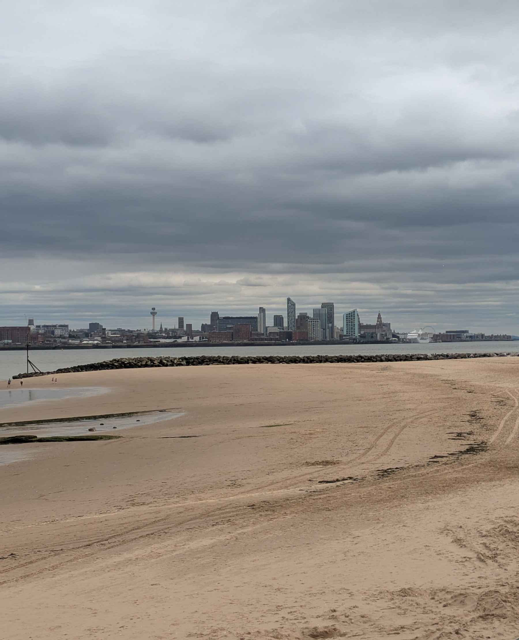
Liverpool skyline yesterday.
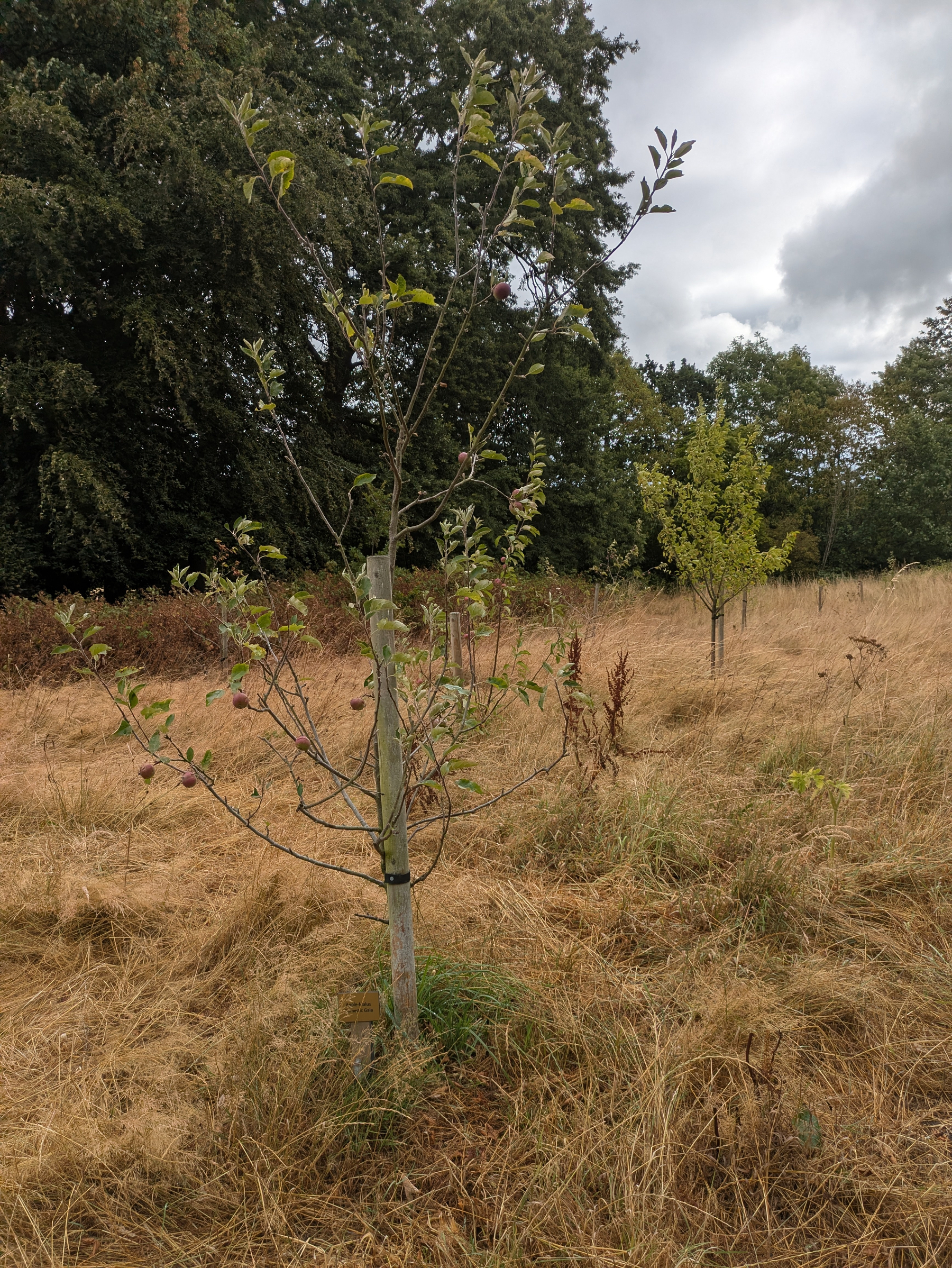
Appreciable rainfall overnight and still cloudy this morning in #Royden. The trees in the orchard seem to be hanging on in there. Just a brief visit, getting my steps in.
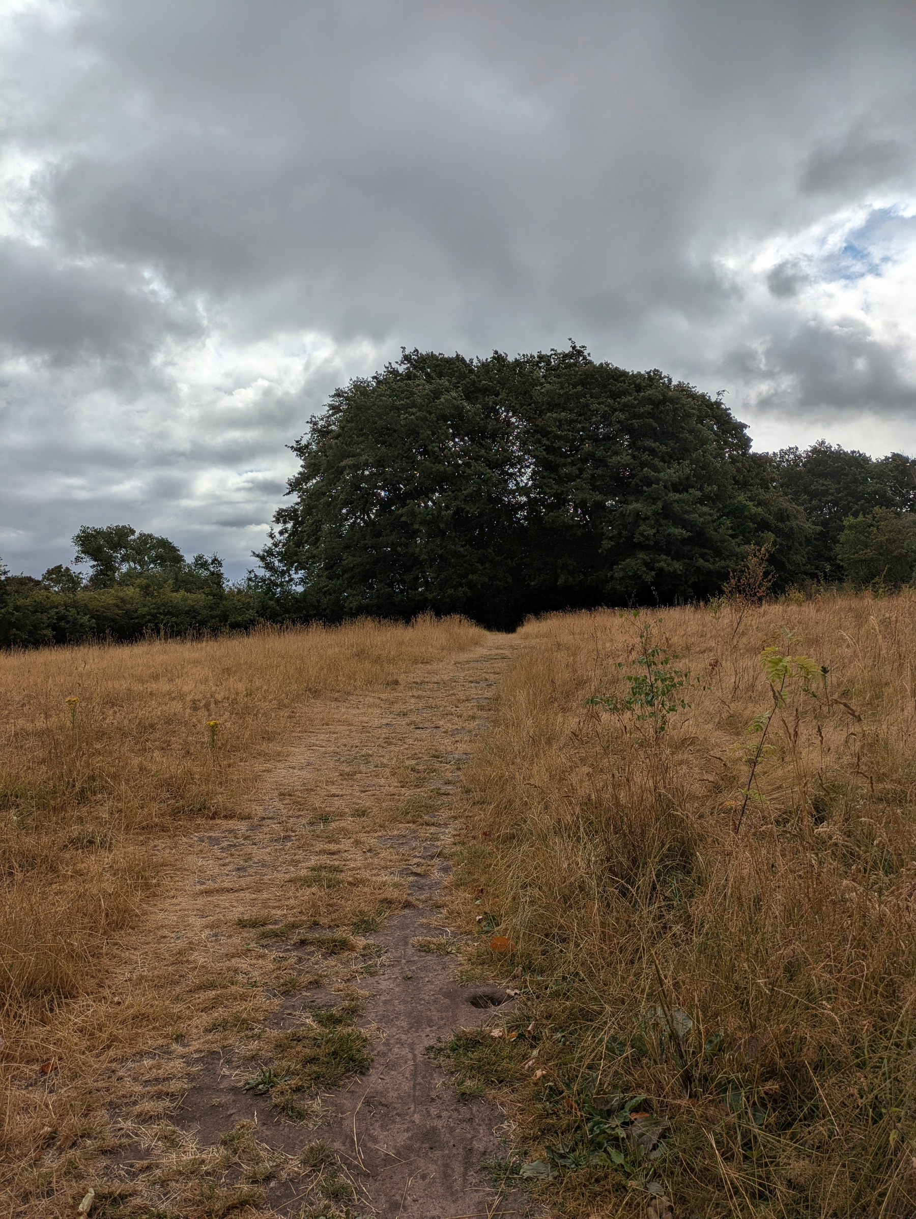
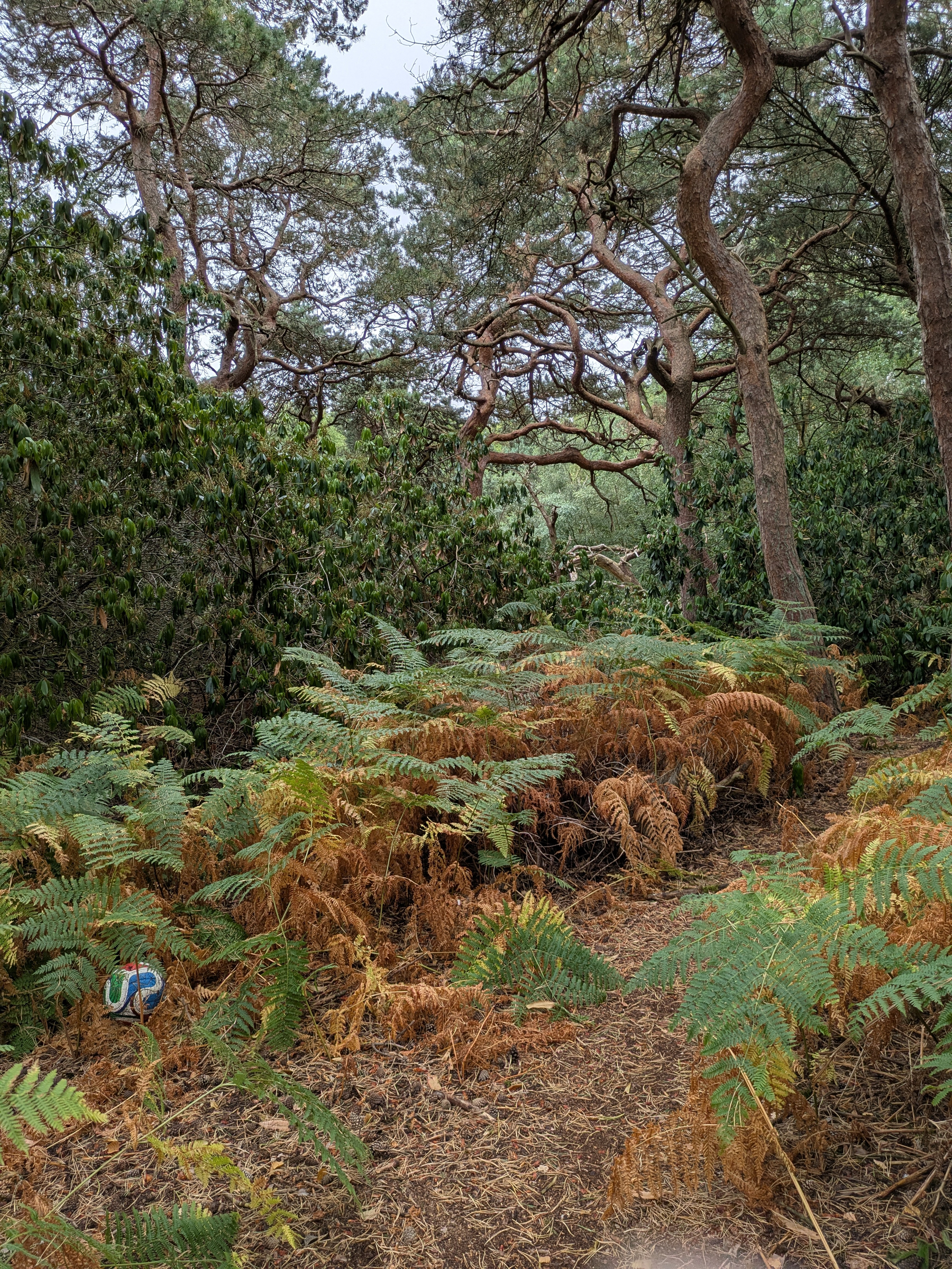
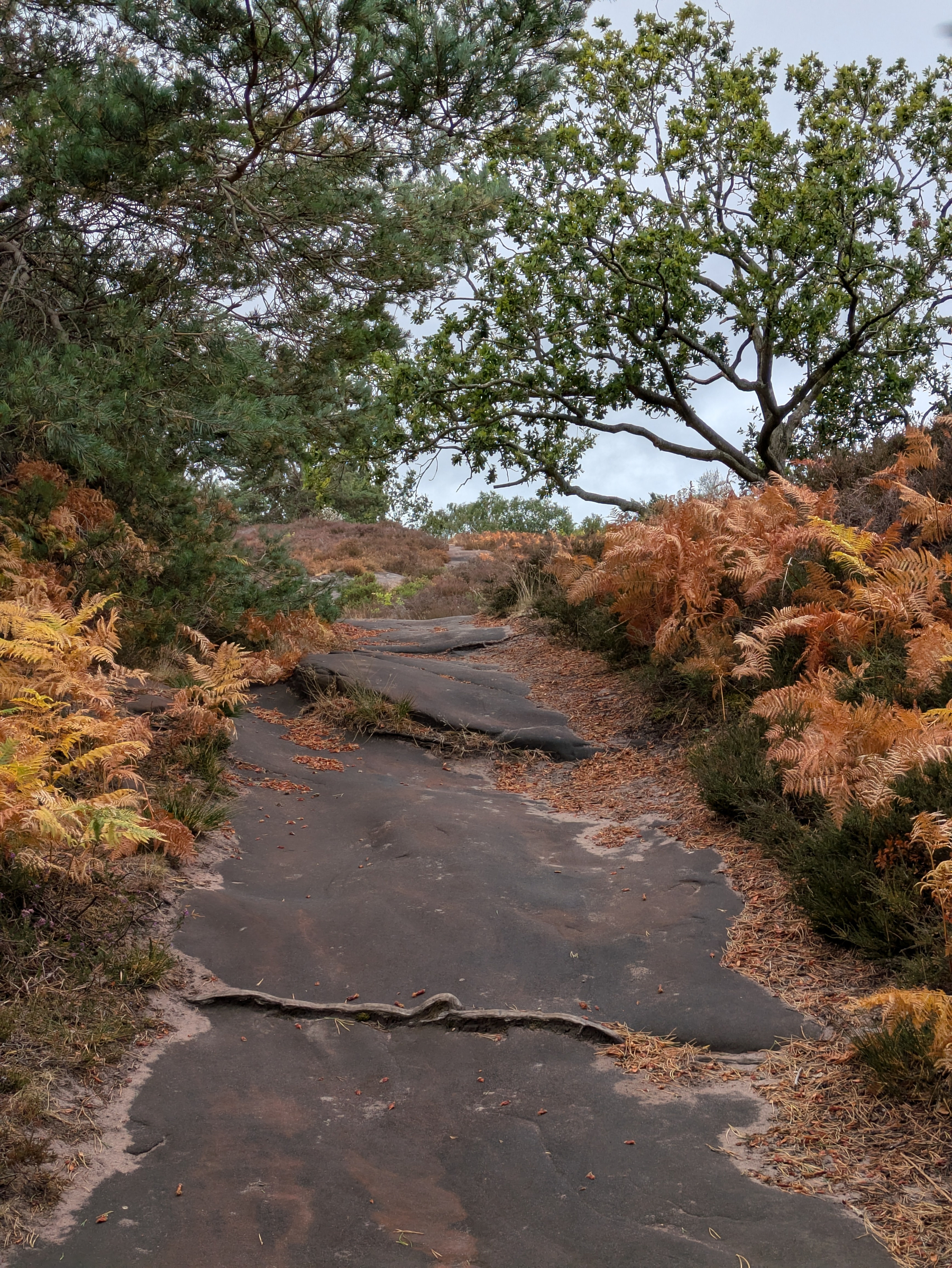
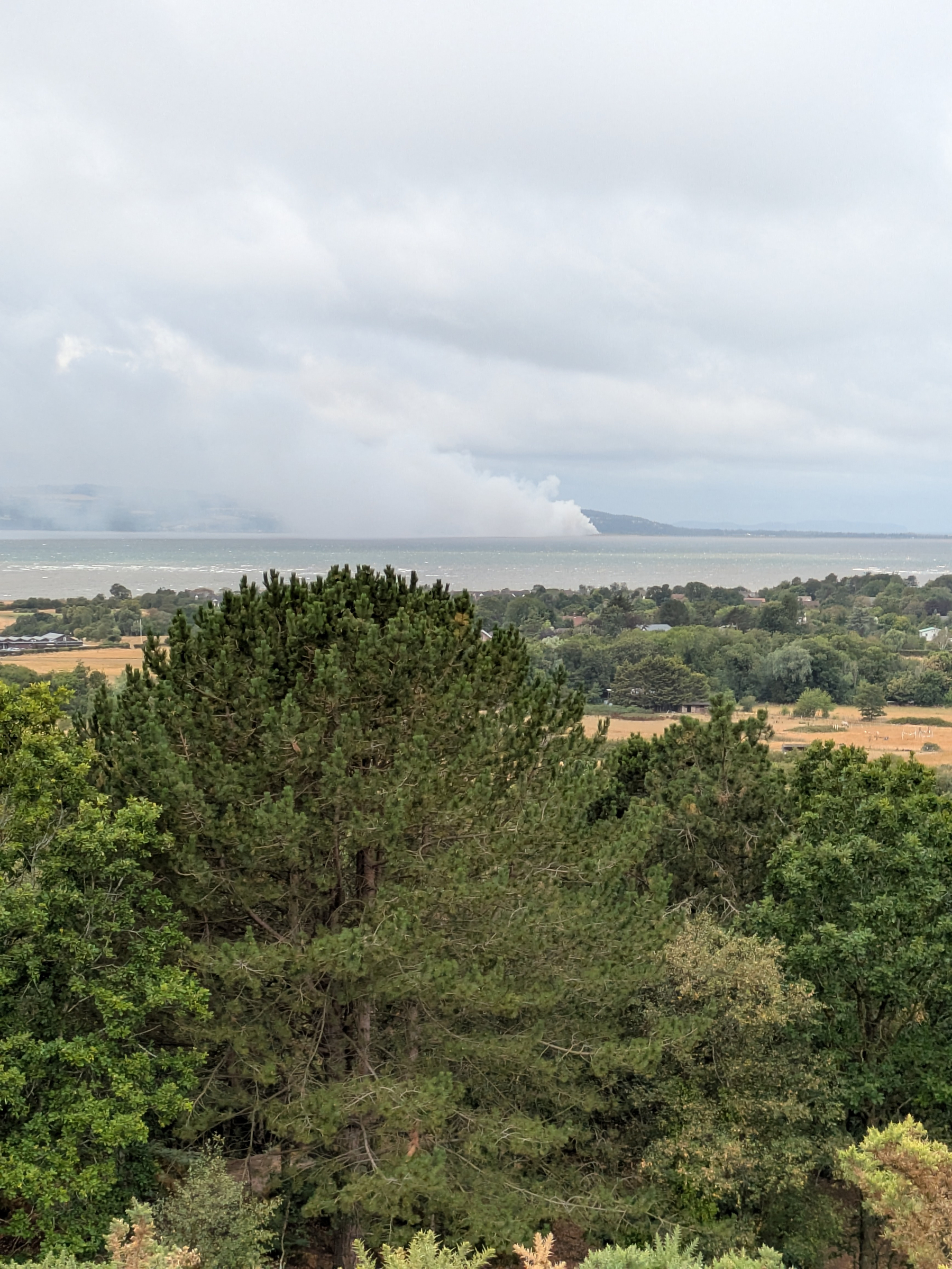
Quite a breeze this morning in #Royden. Overnight rain of little obvious consequence. Lost football is kind of where we are. Ferns adding a splash of colour. Scrapyard fire in Talacre not the kind of view I was expecting across the Dee.
Warm and sunny this morning in #Royden. Just a hint of rain this afternoon.

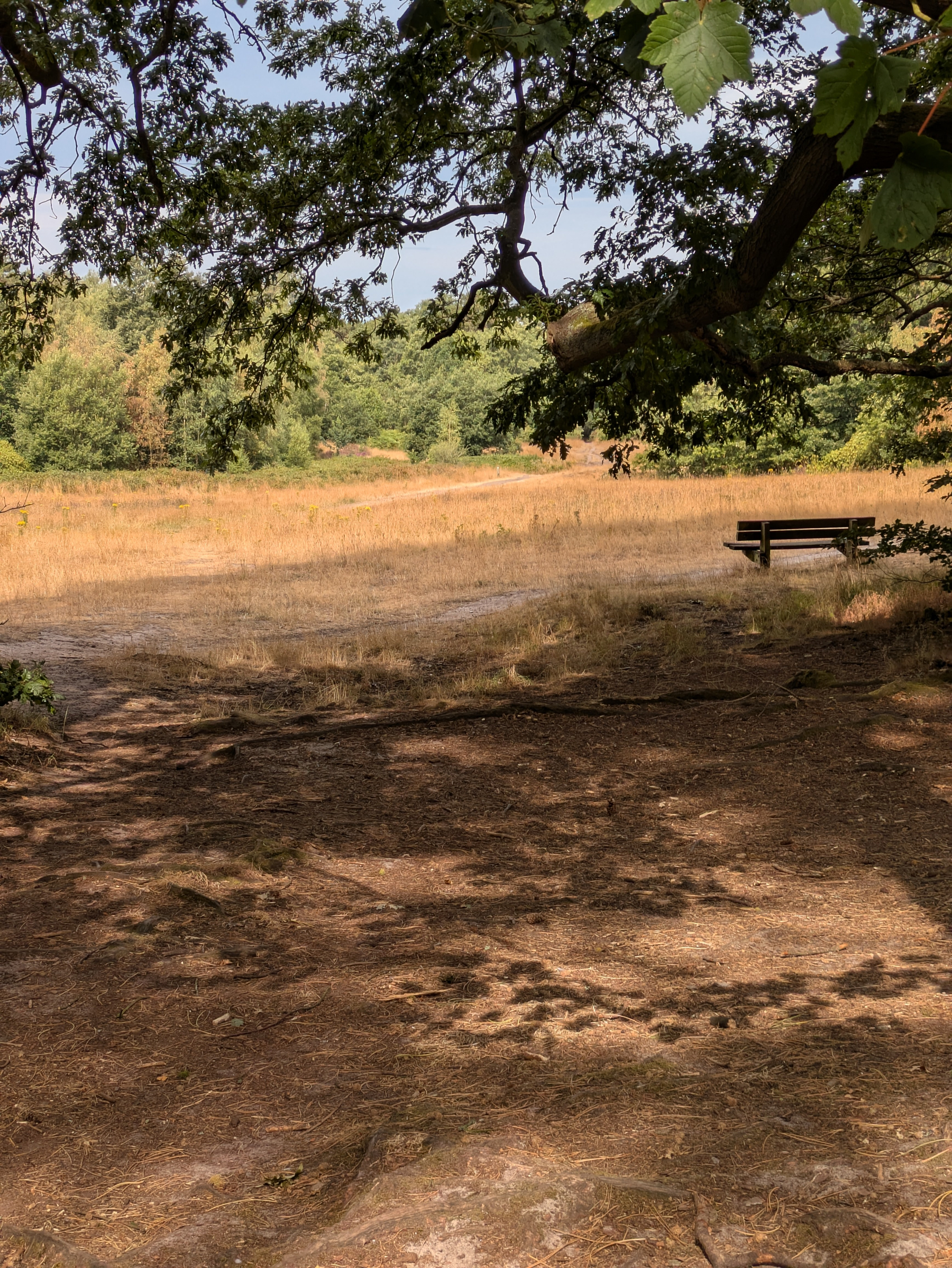
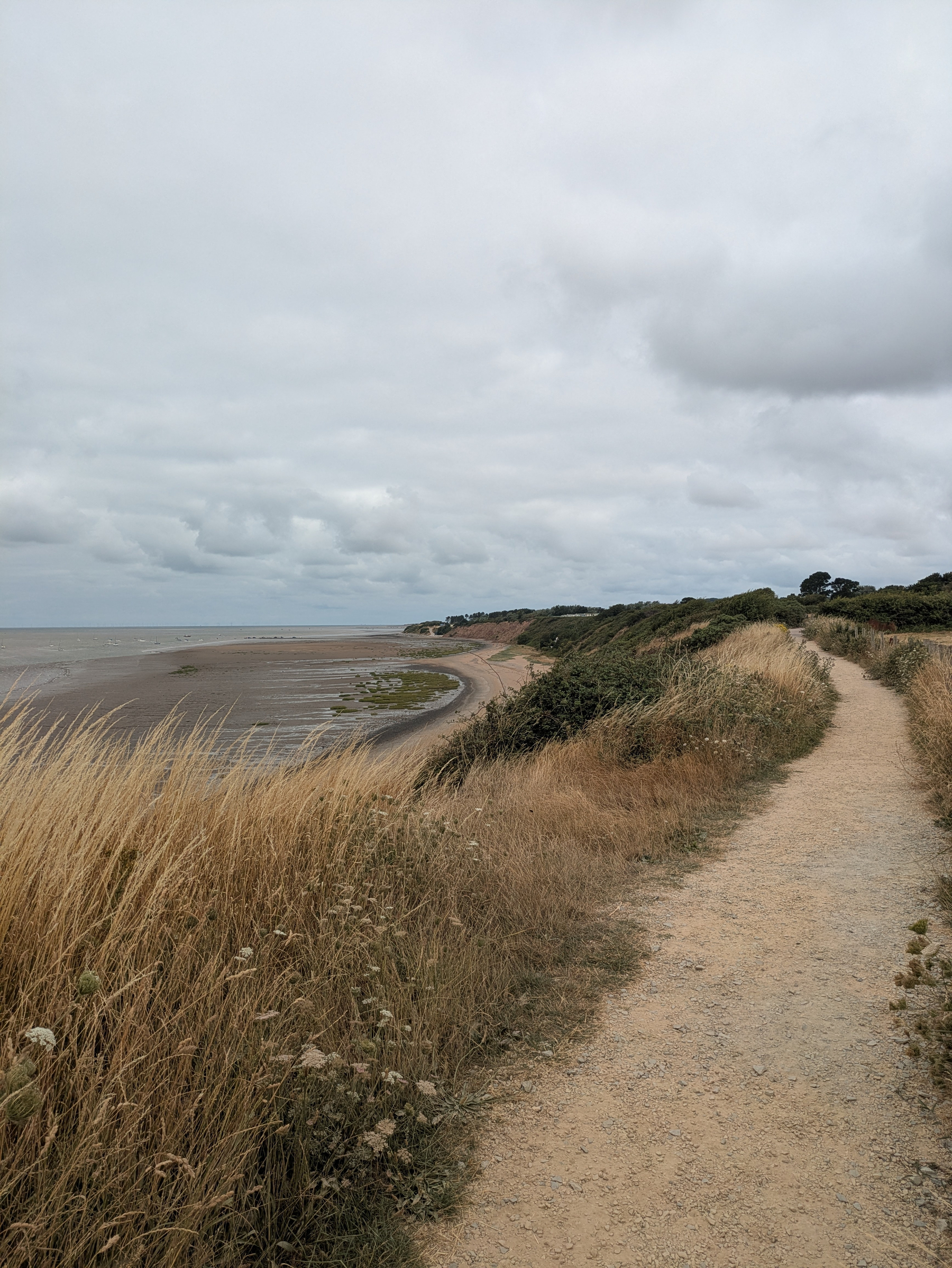
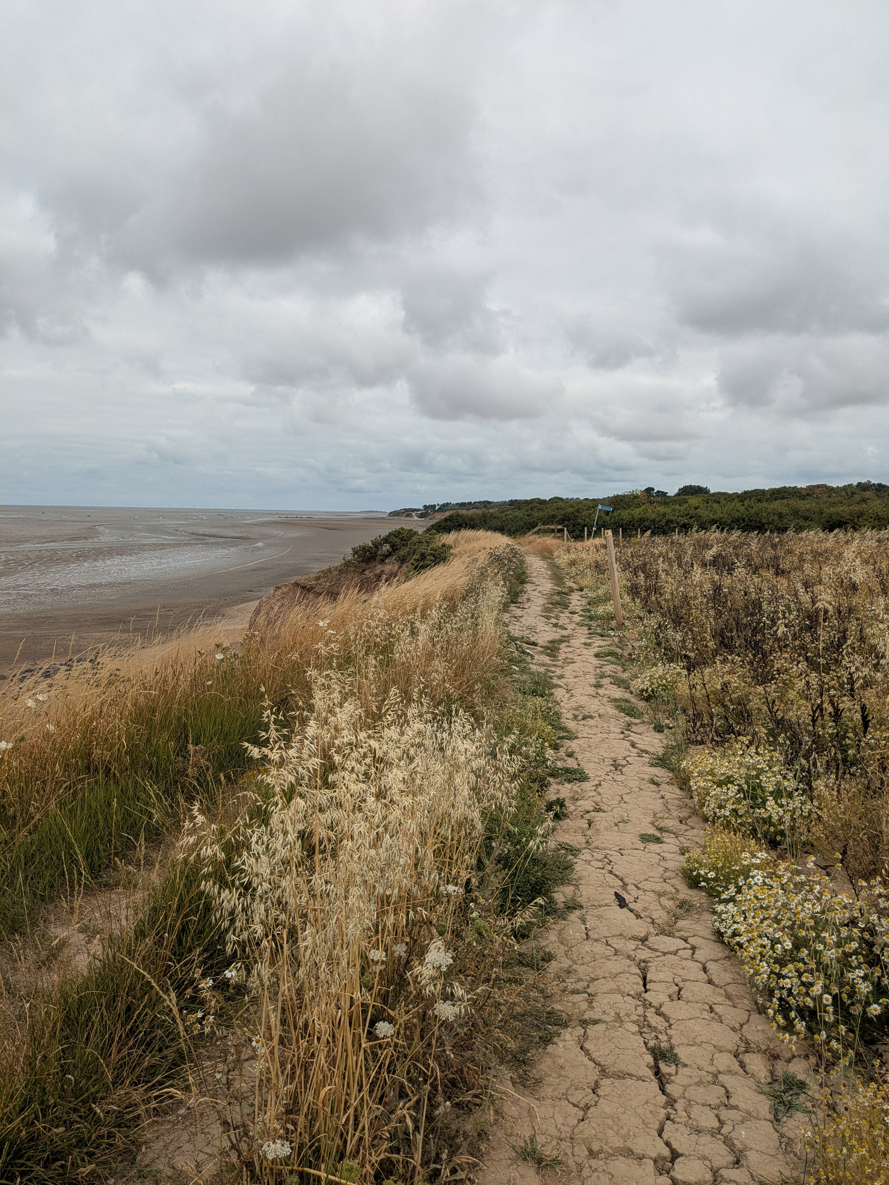
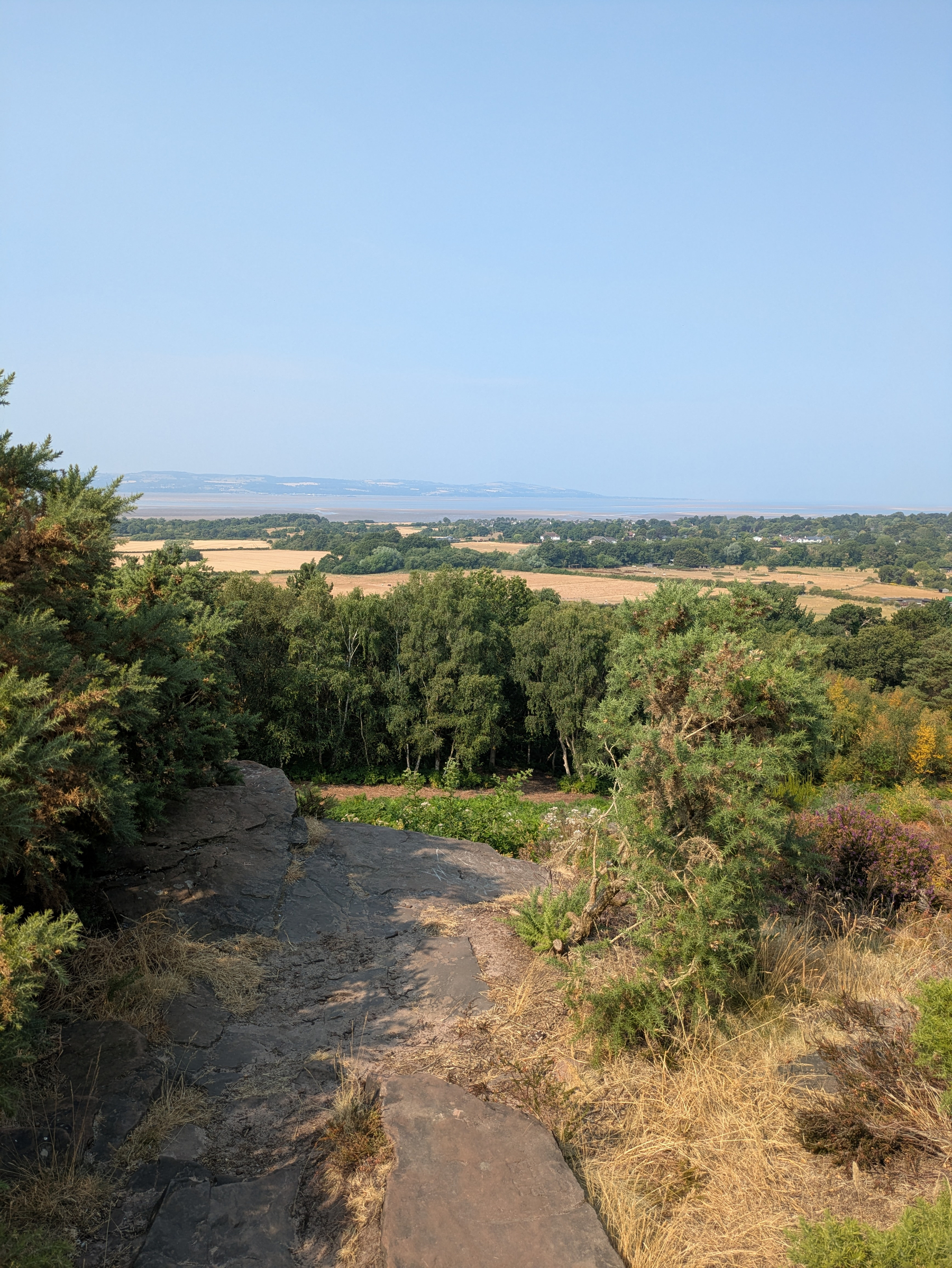
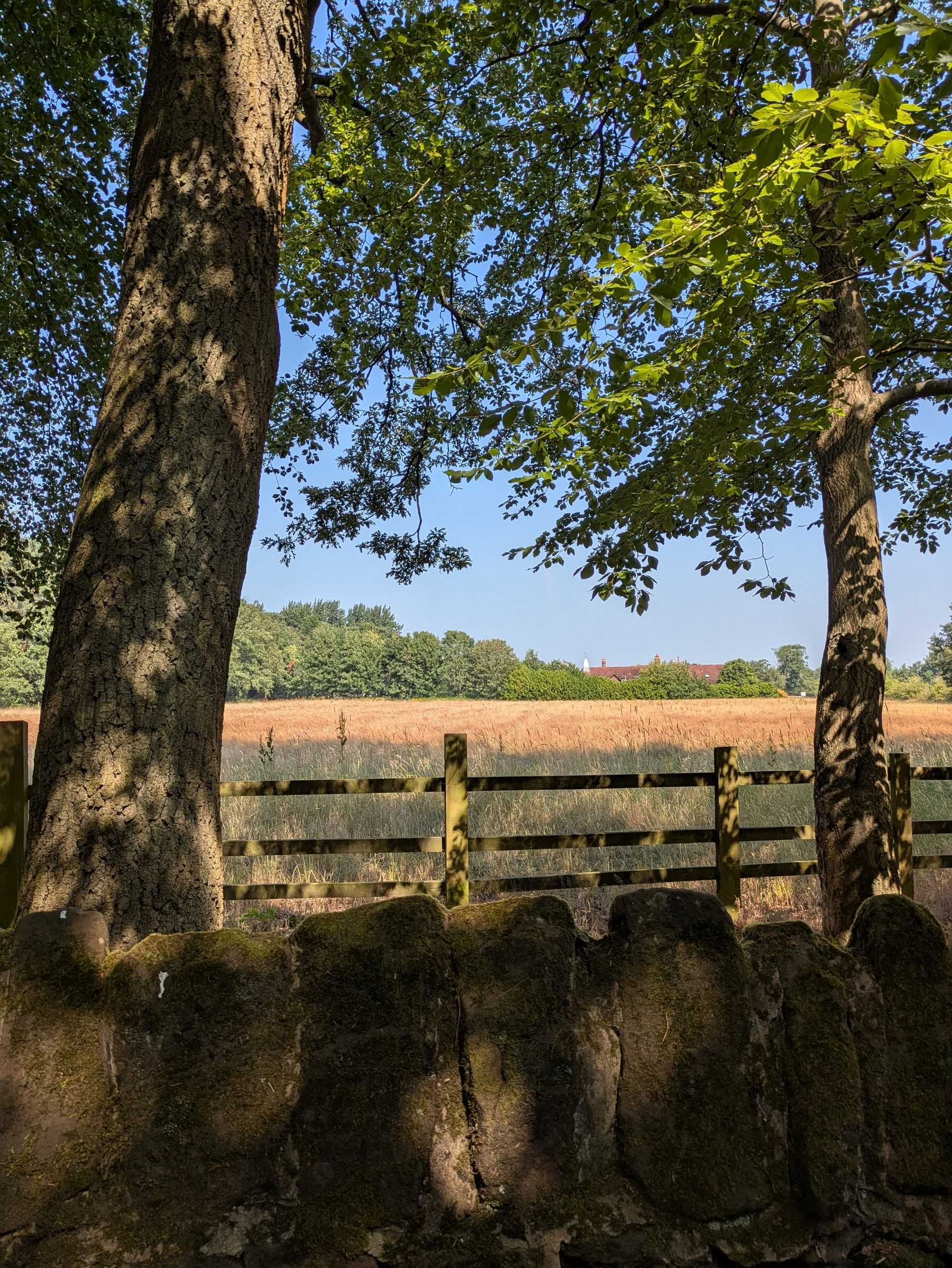
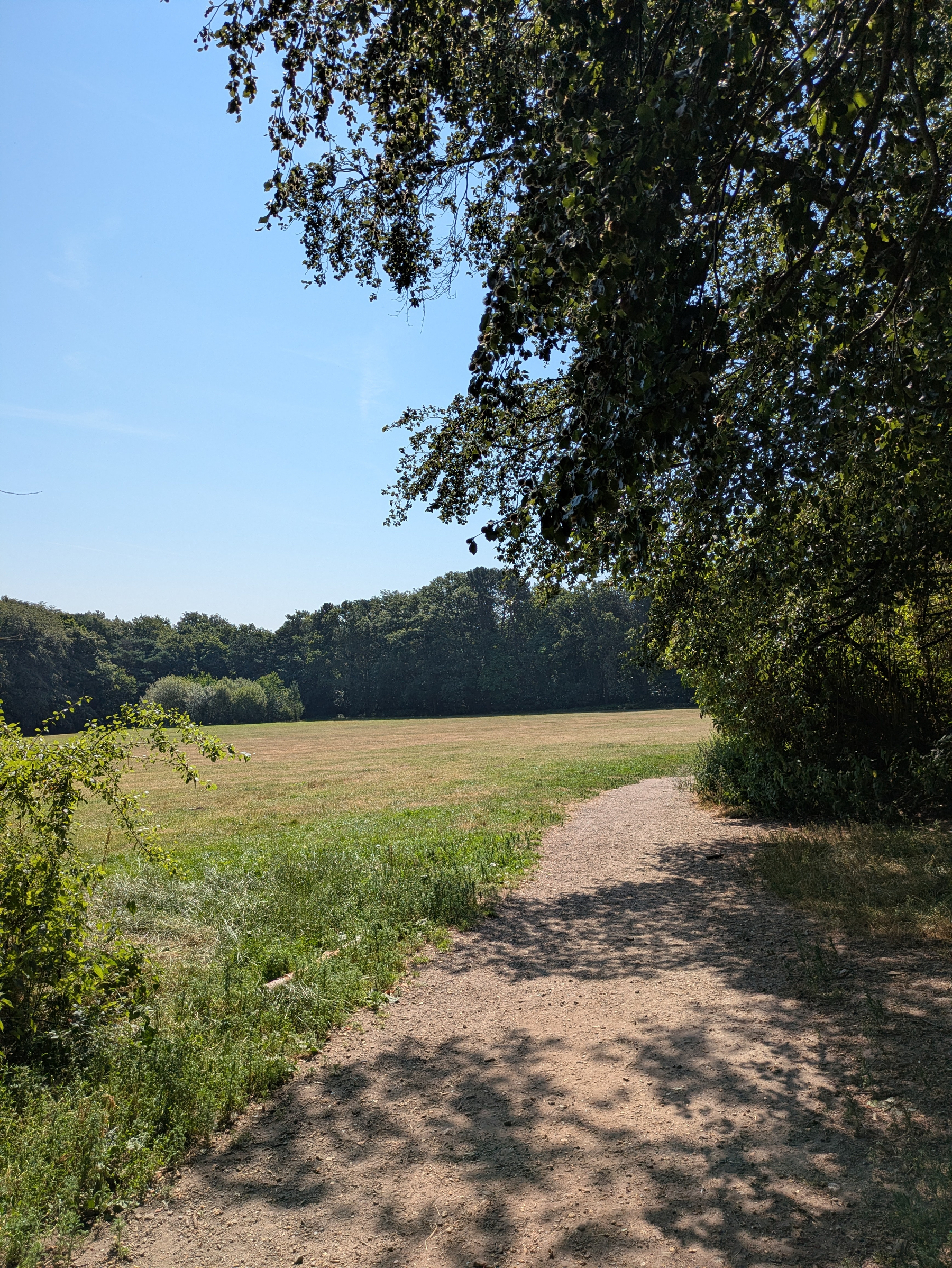
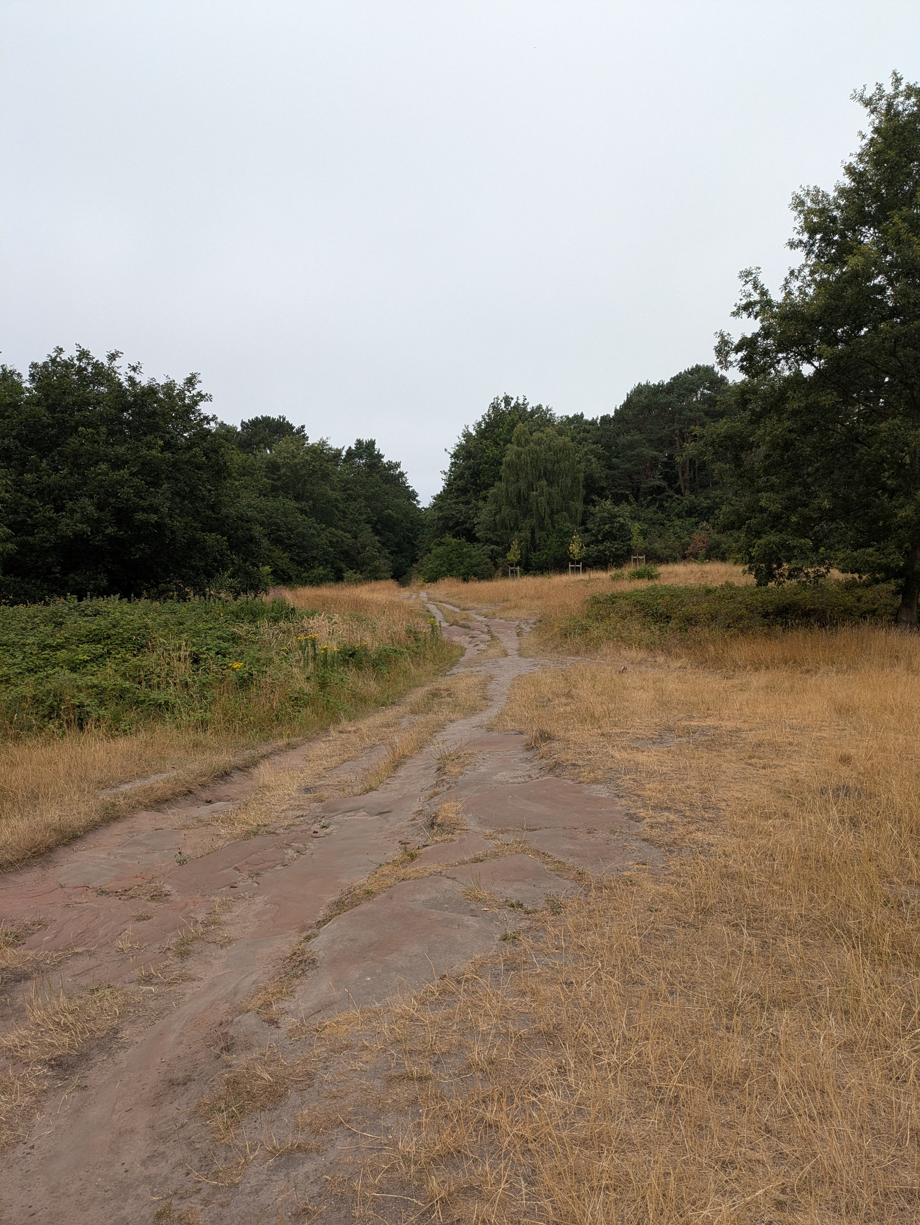
Cloudy and breezy for this morning’s walk at Thurstaston. Fields parched and bean field looking v sad, much of it scorched. Coffee and carbs at YOT. Backyard Ultra tomorrow (not me!). www.backyardultra.uk
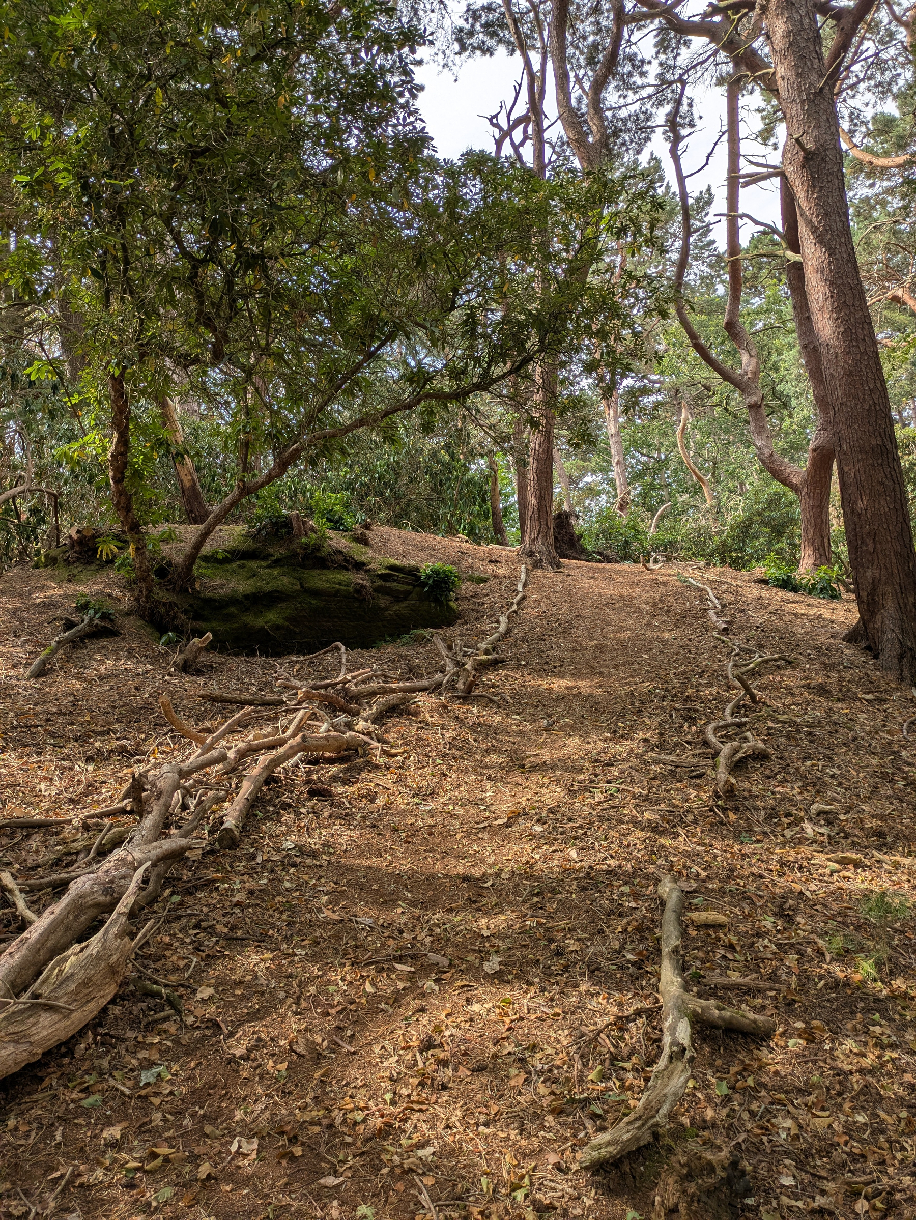
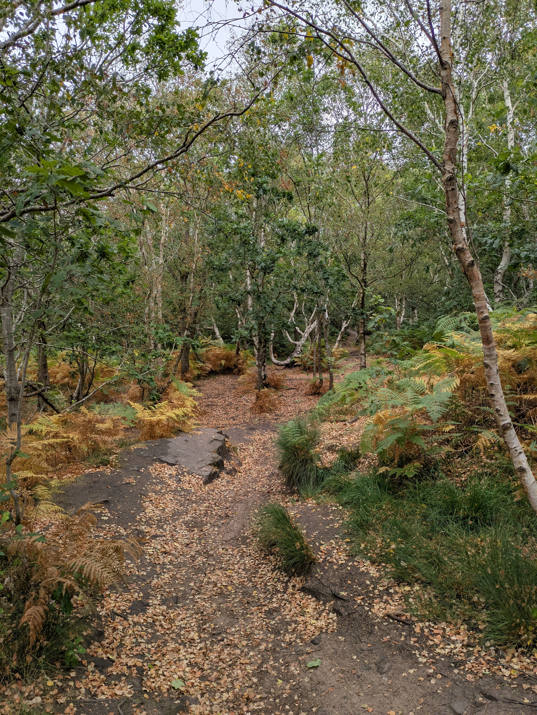
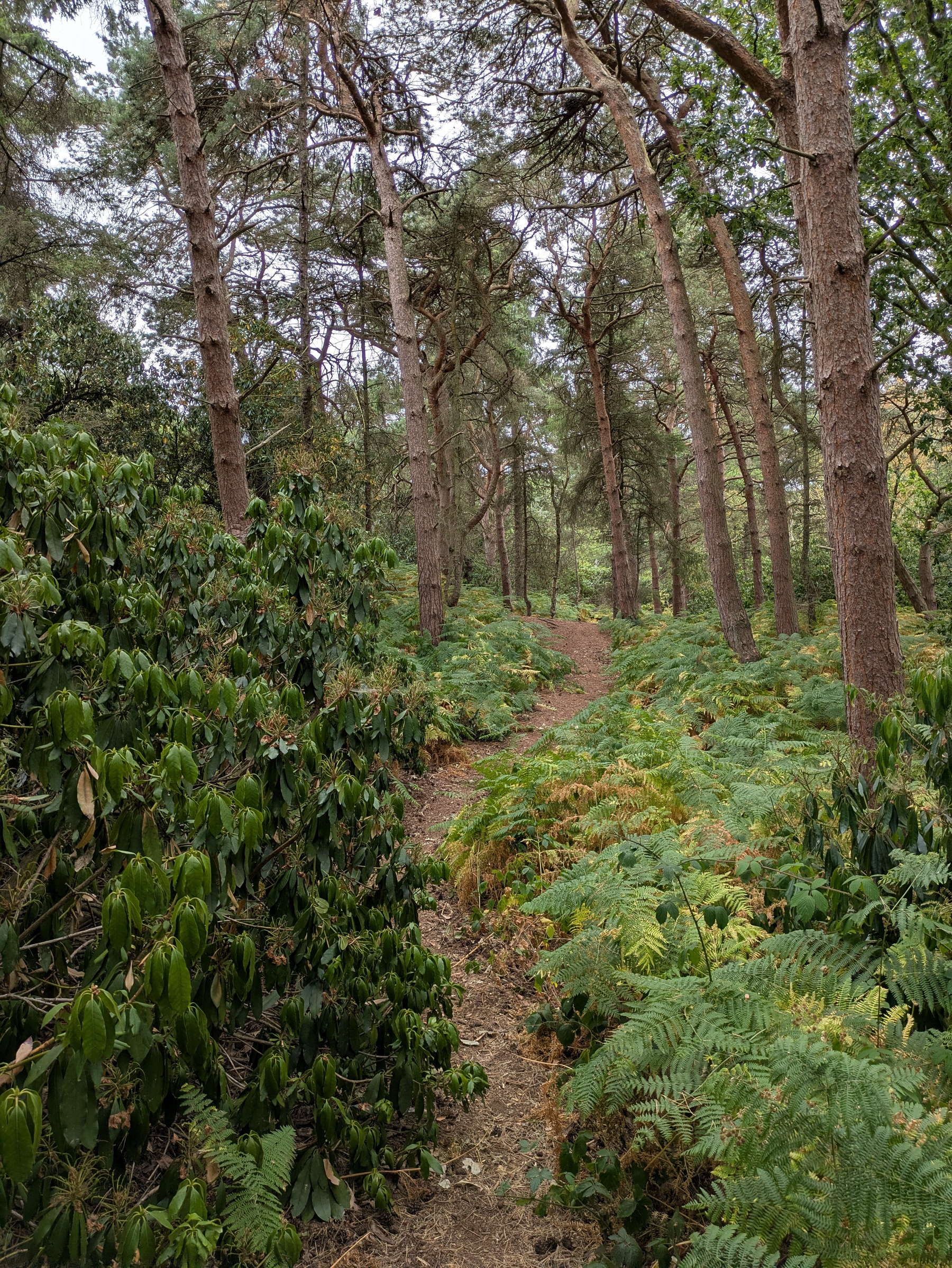
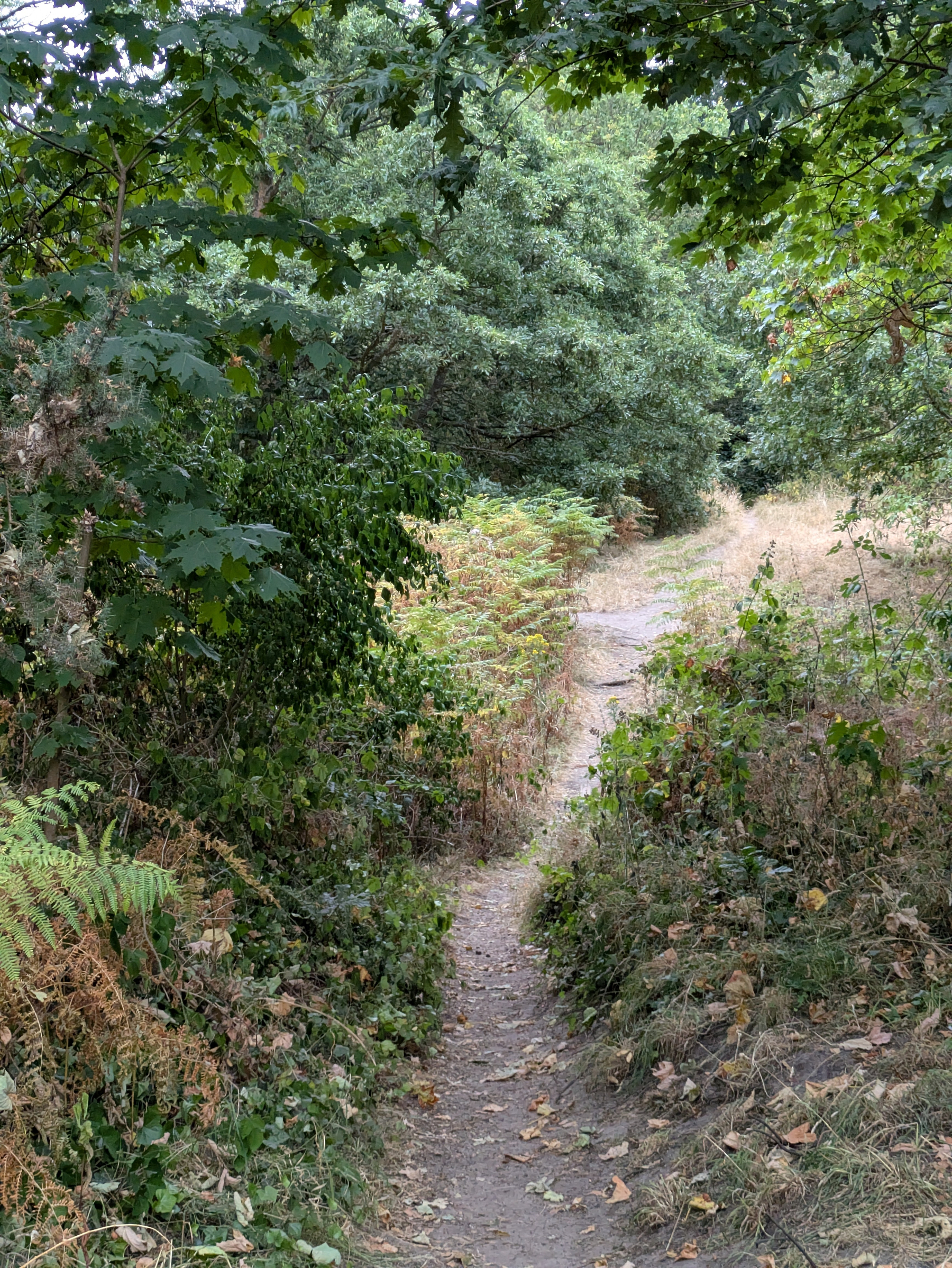
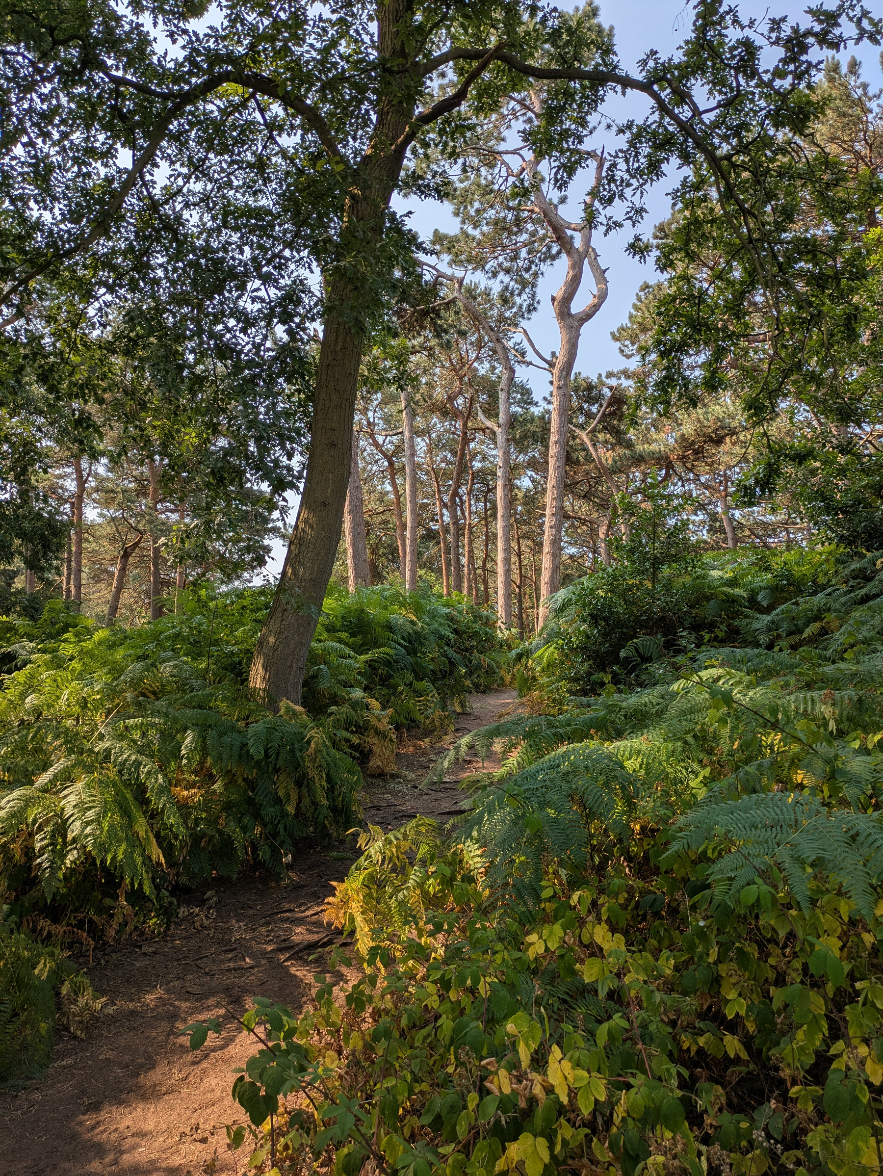
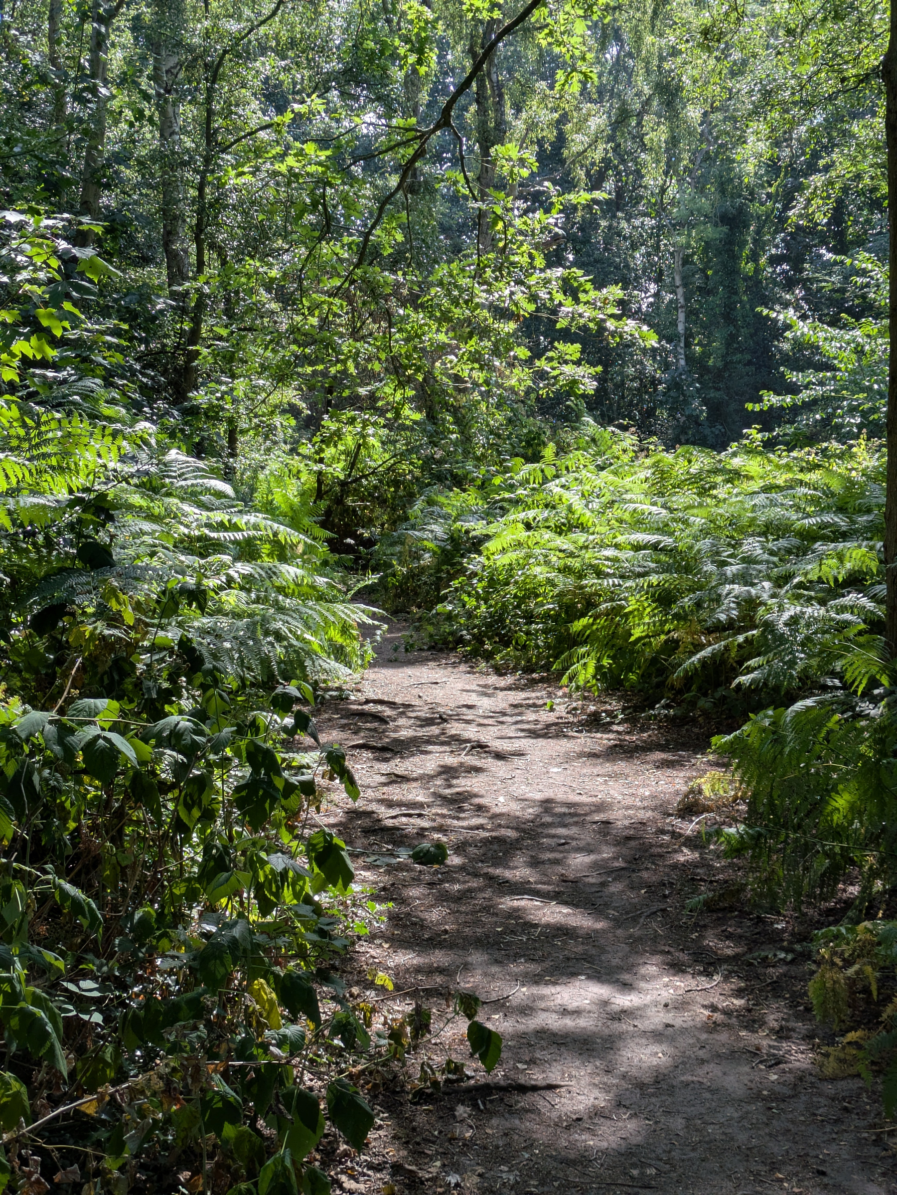
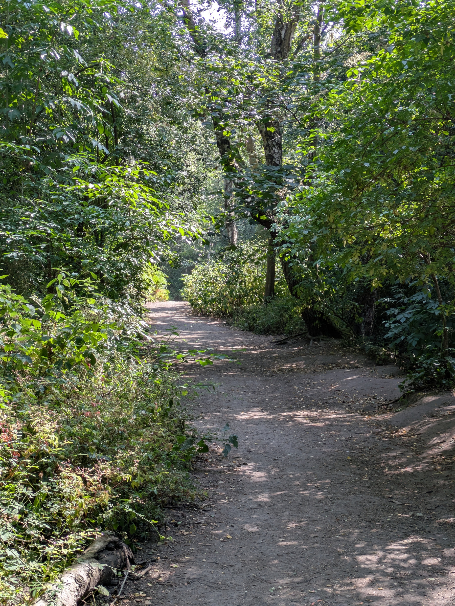
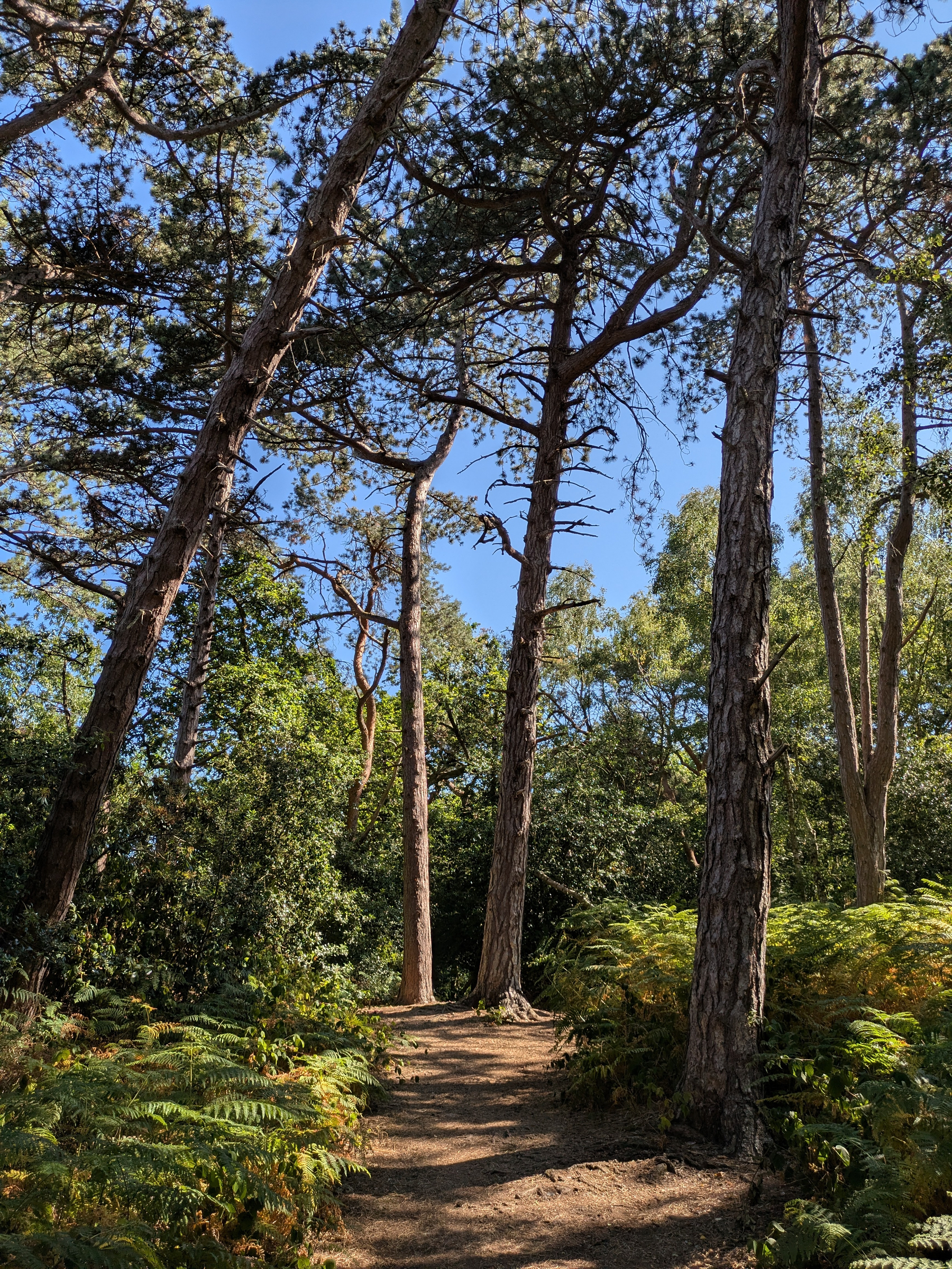
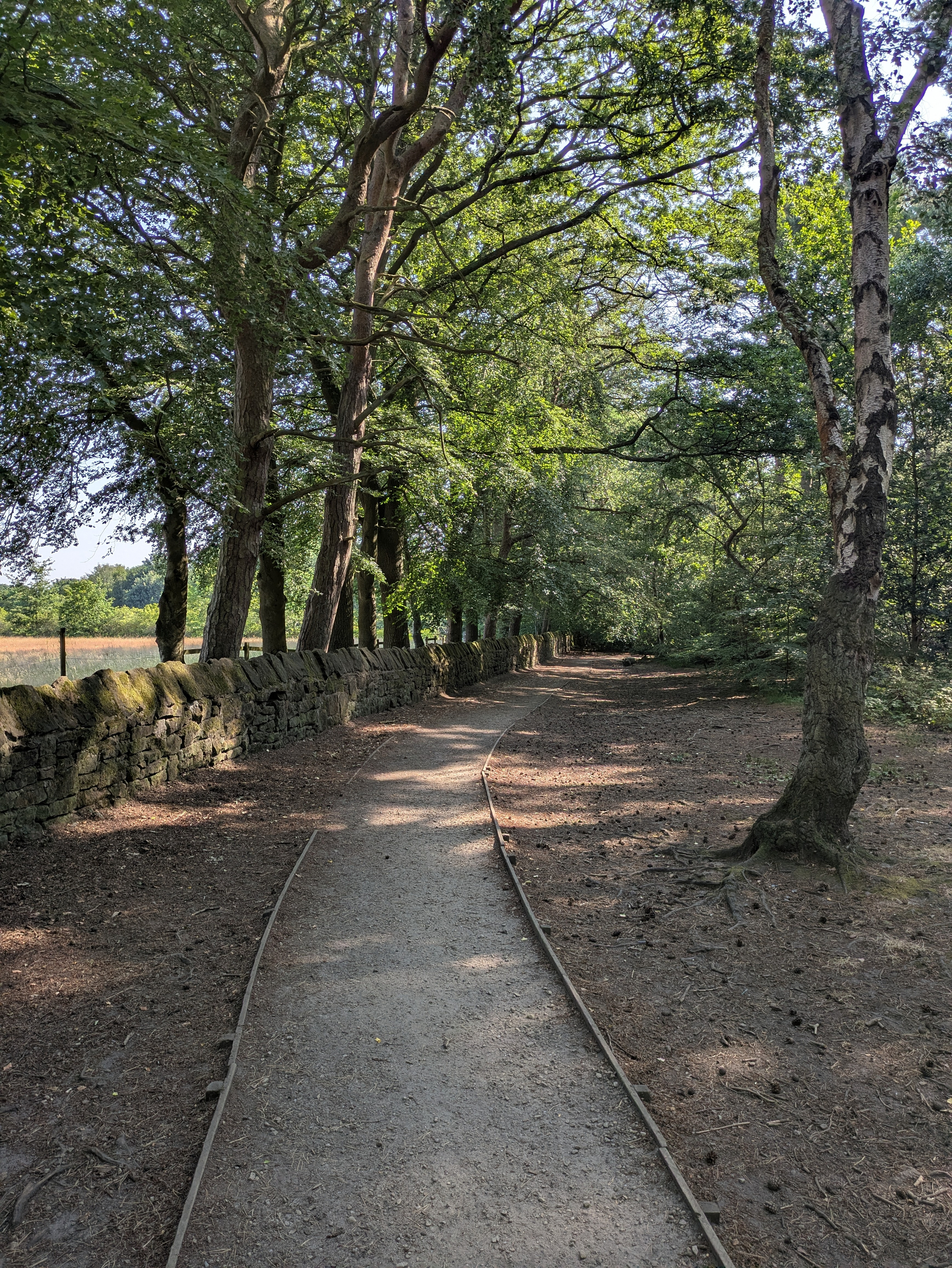
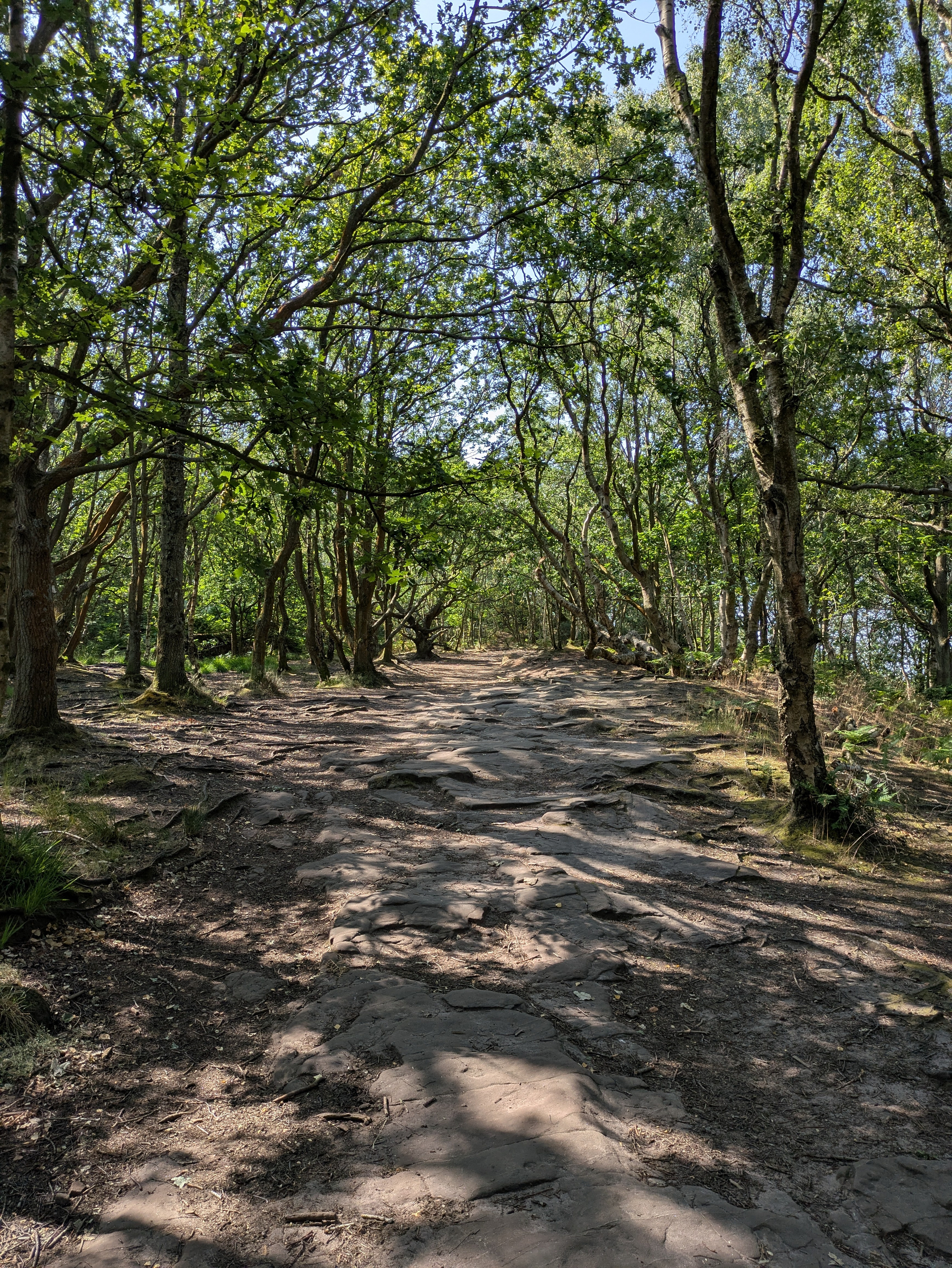
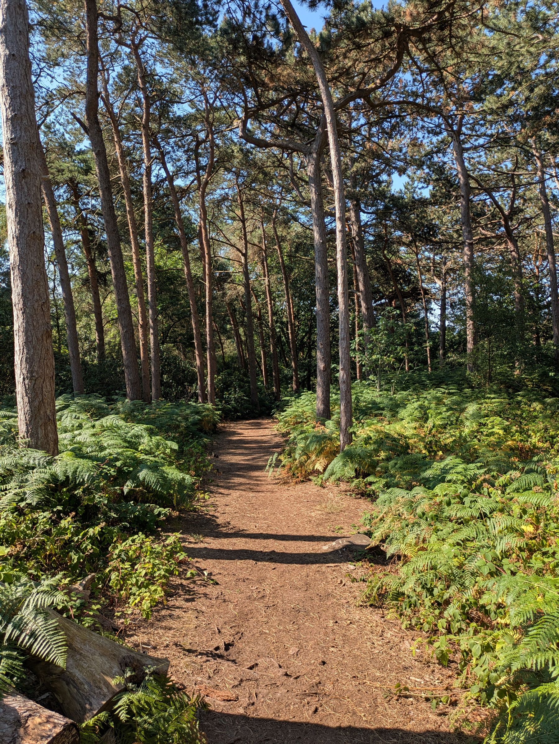
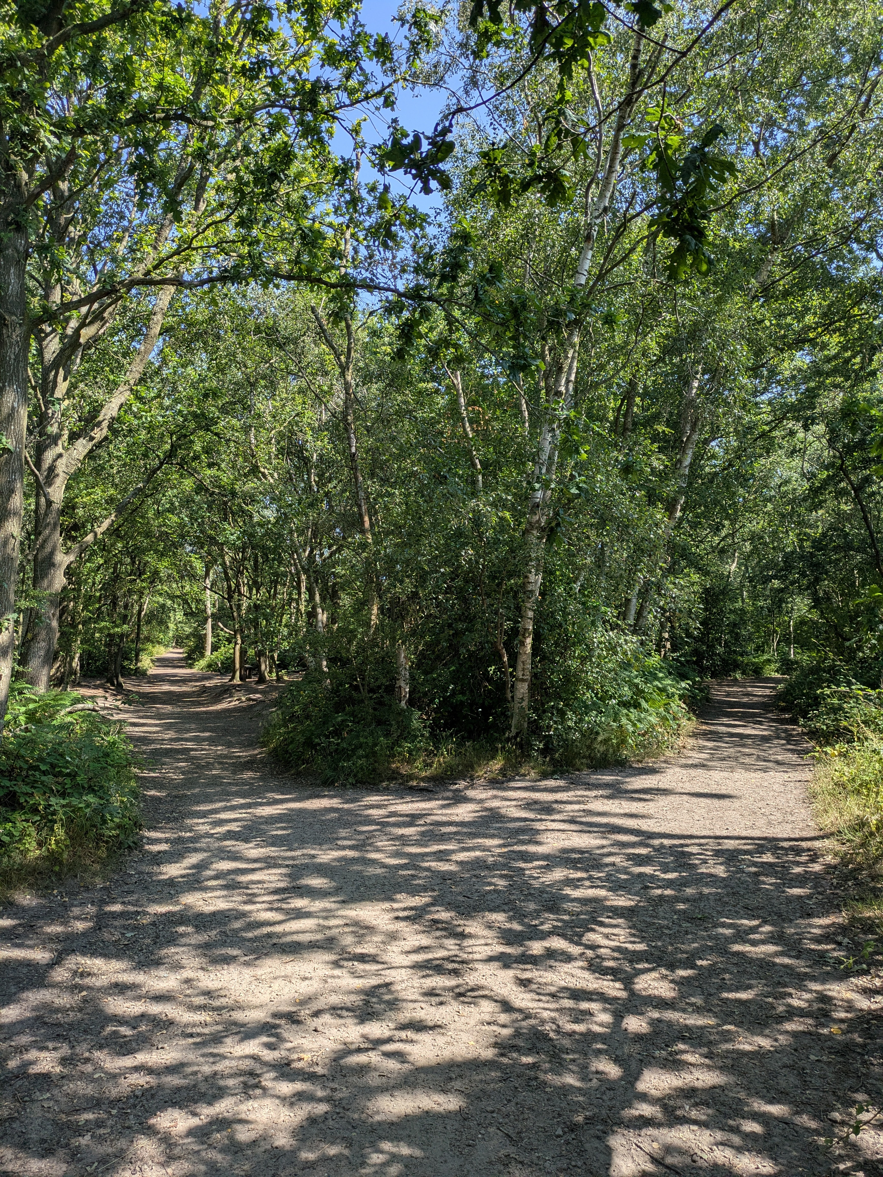
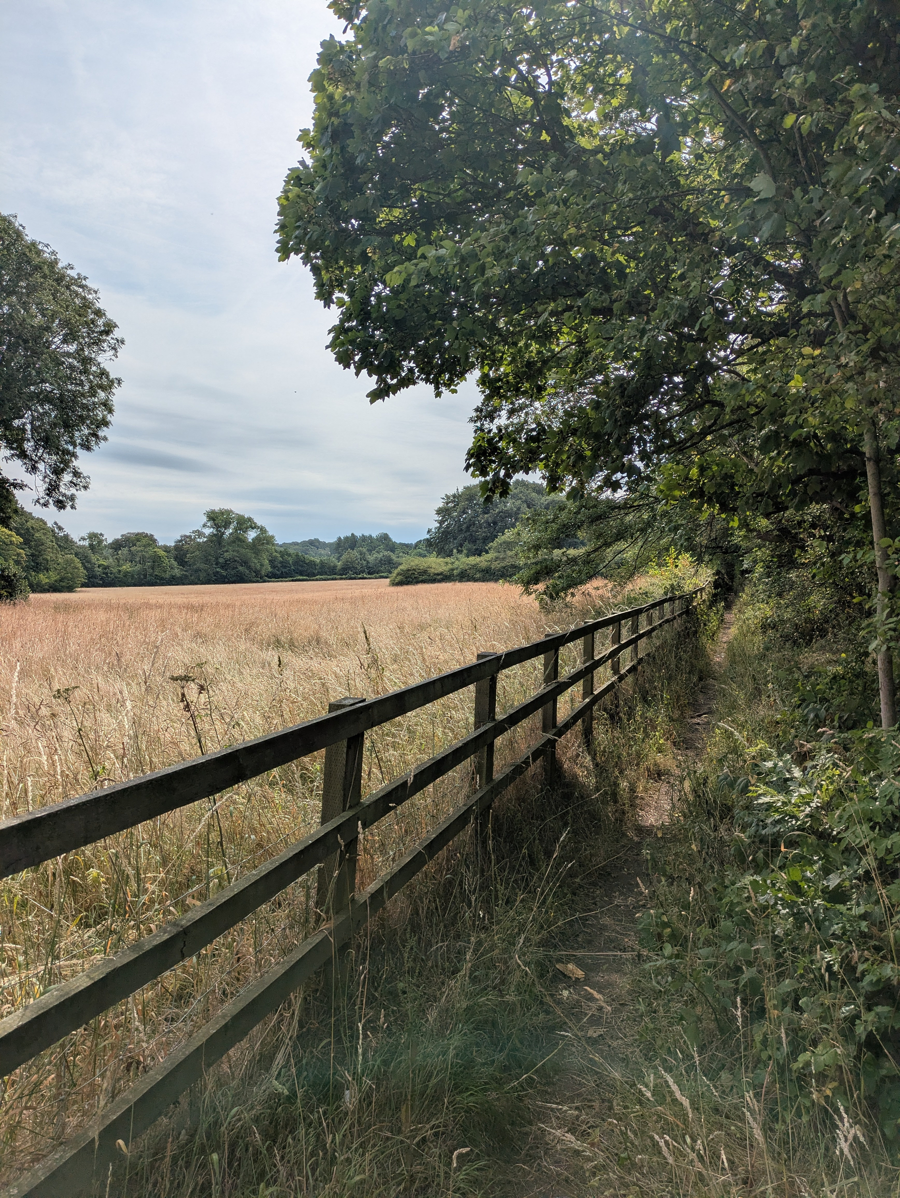
Overcast but mild this morning in #Royden. The place is a maze and decided to try a few new paths though inevitably you reach a familiar spot whichever way you go.
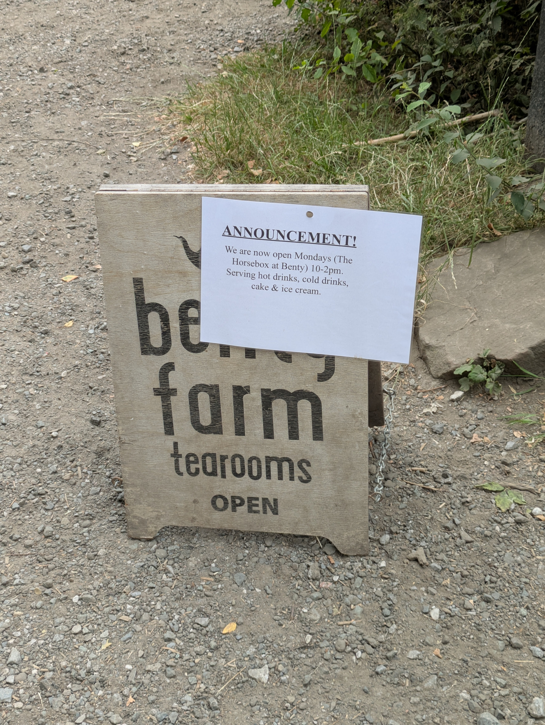
Overcast but equable in a fairly busy #Royden this morning. Someone’s been spraying red paint on the parking meters. Benty’s now open Mondays, sort of.
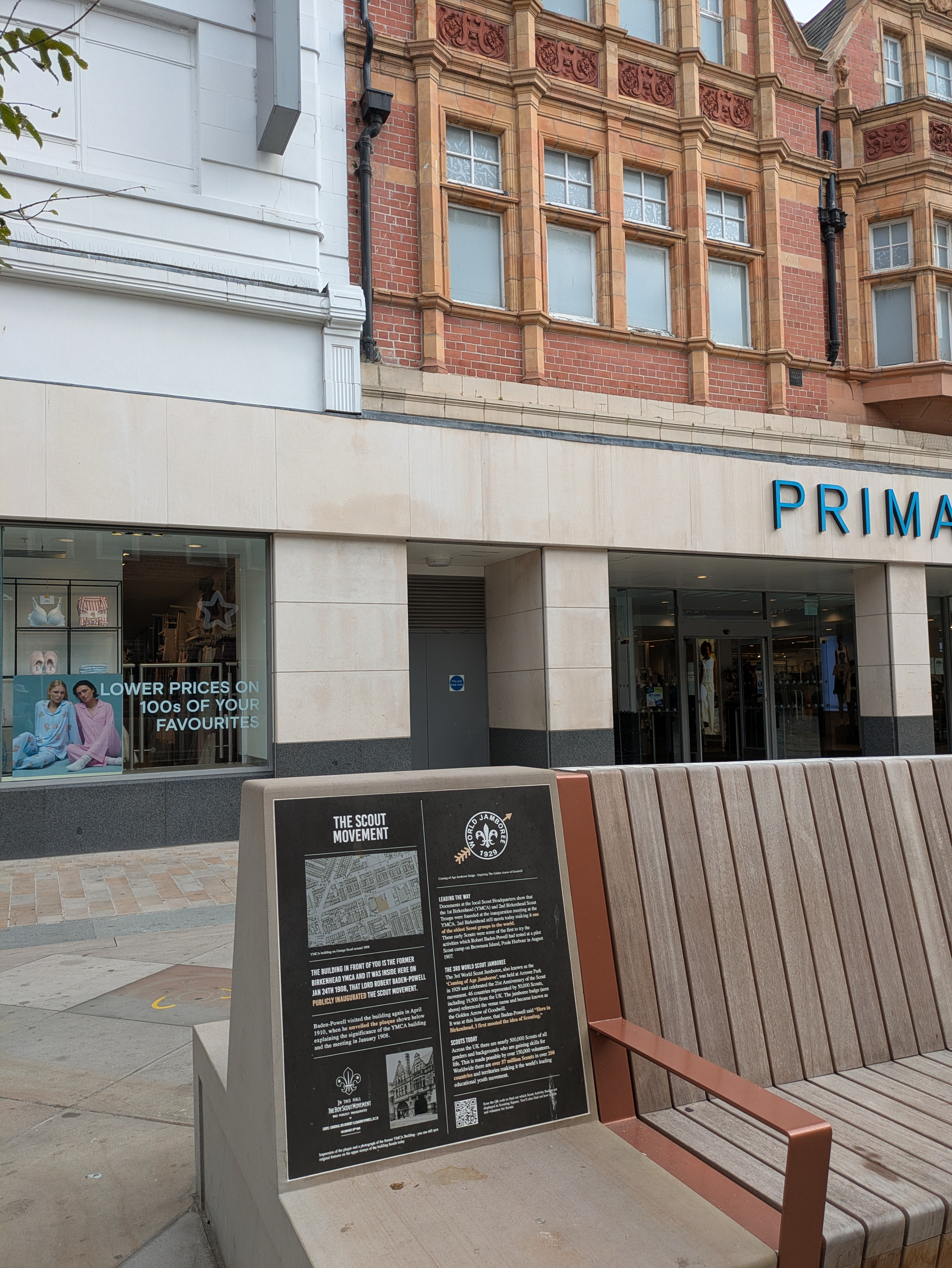
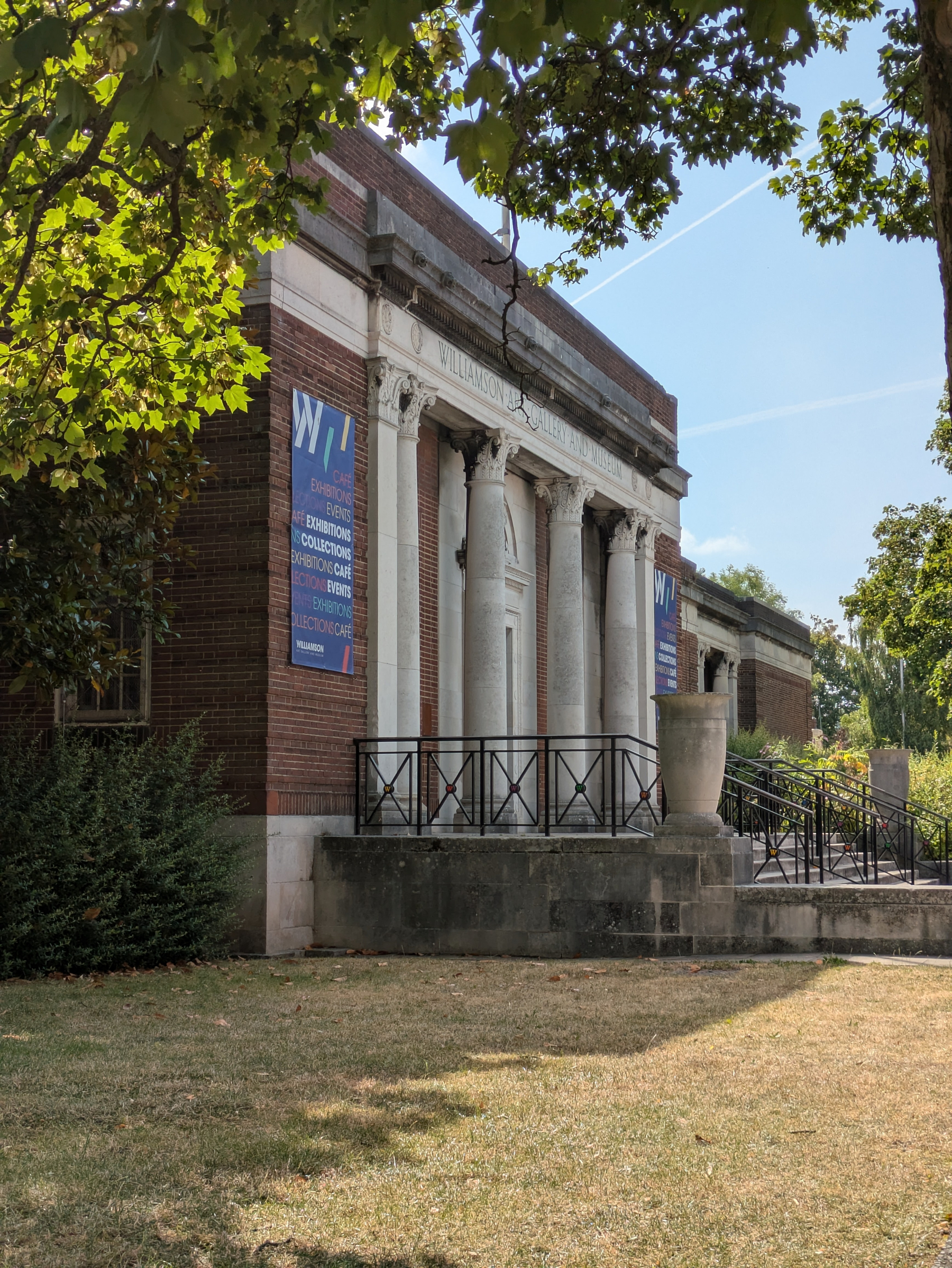
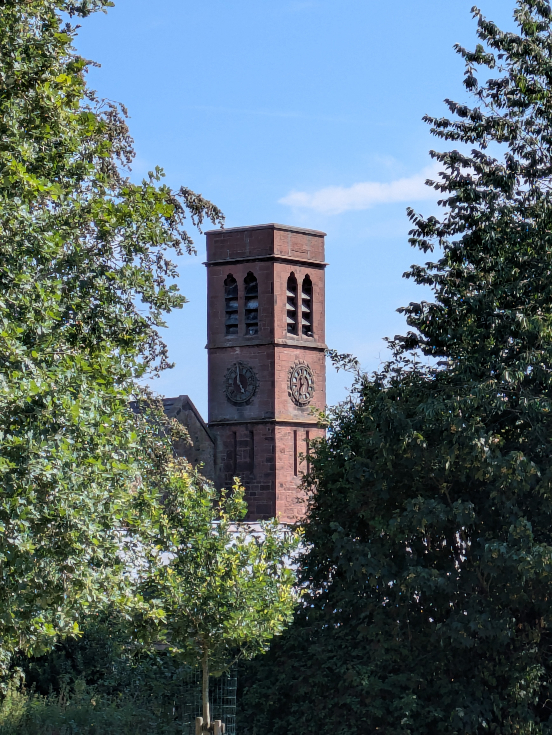
Brief visit to Birkenhead this morning. New street furniture does a nice job of historical context (B-P woz ‘ere etc). Then on to the Williamson which is a bit of a gem imo.
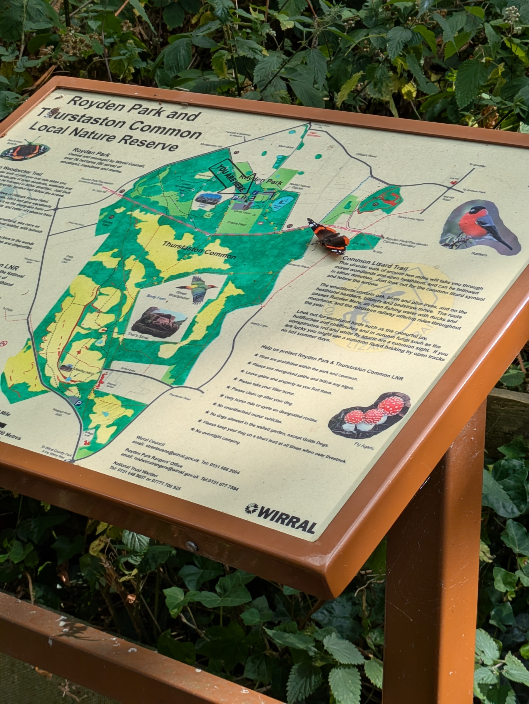
Butterfly adding value to the signage at #Royden this morning. Fleeting visit, too early for coffee and carbs.
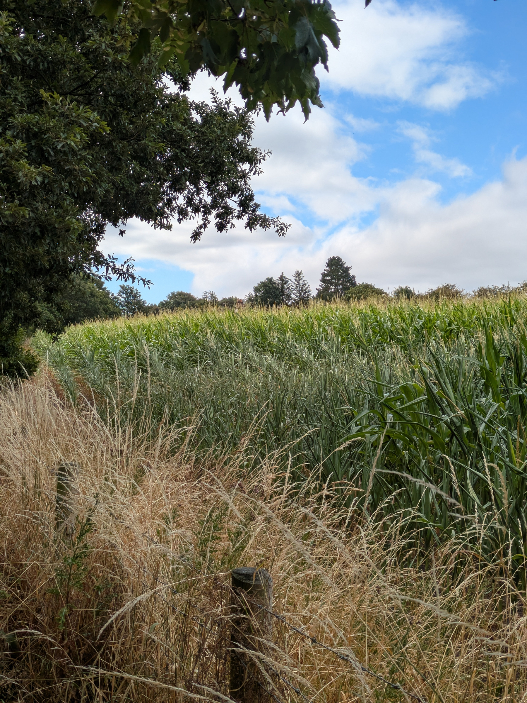
This field, this morning. loops.video/v/gYkzs2R…
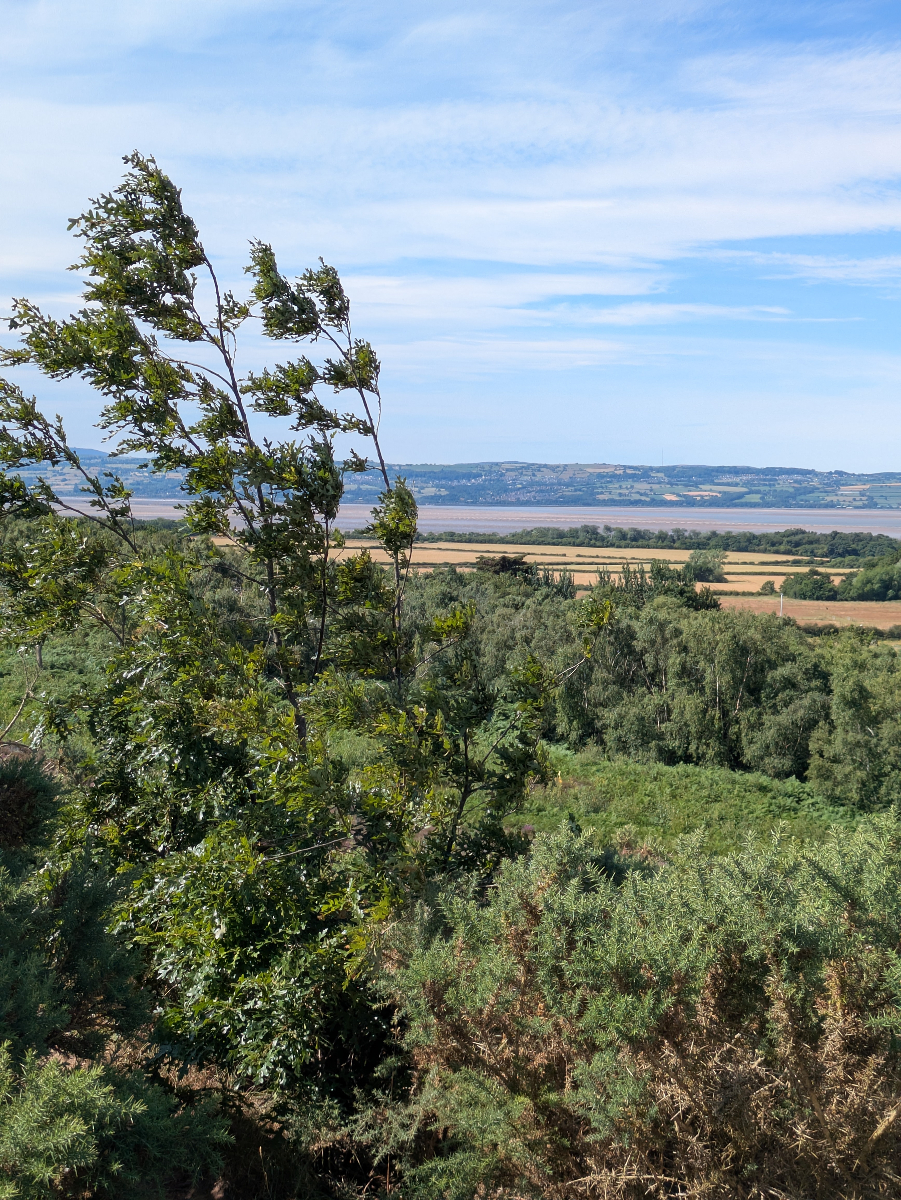
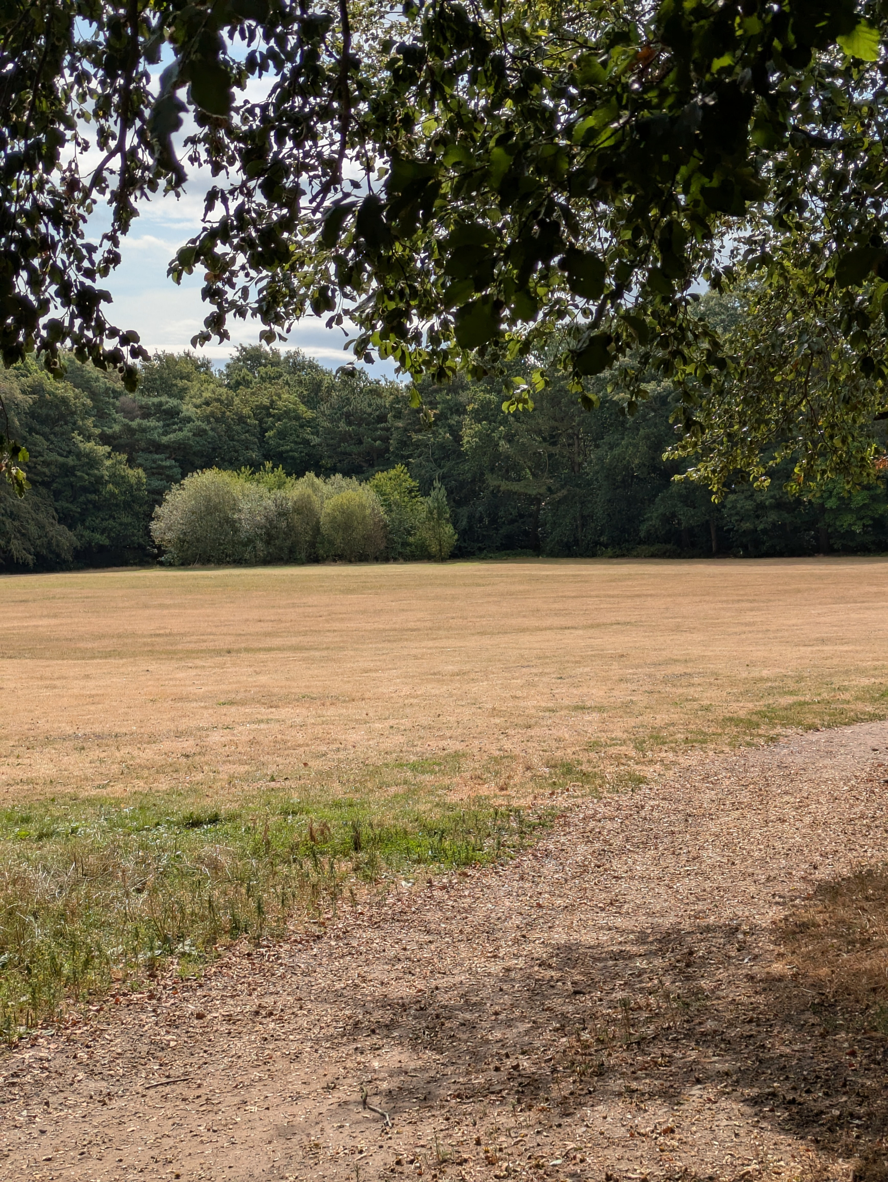
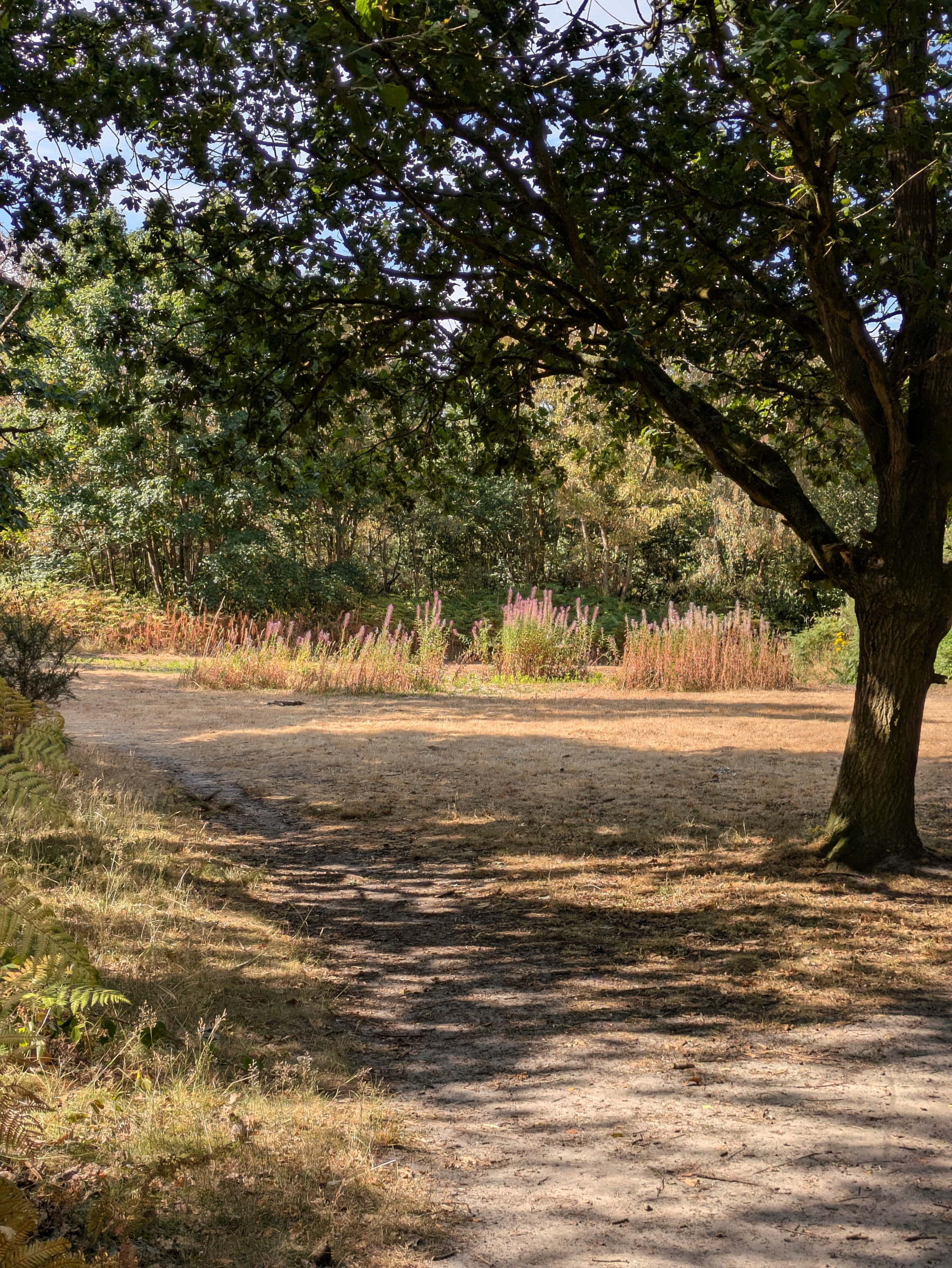
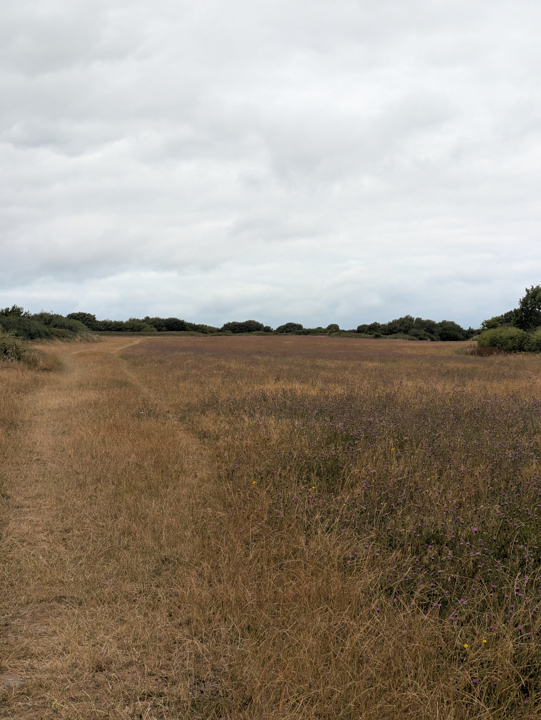
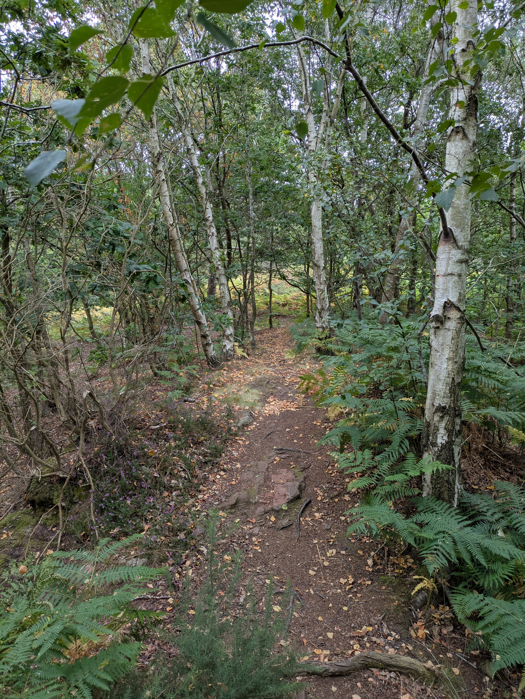
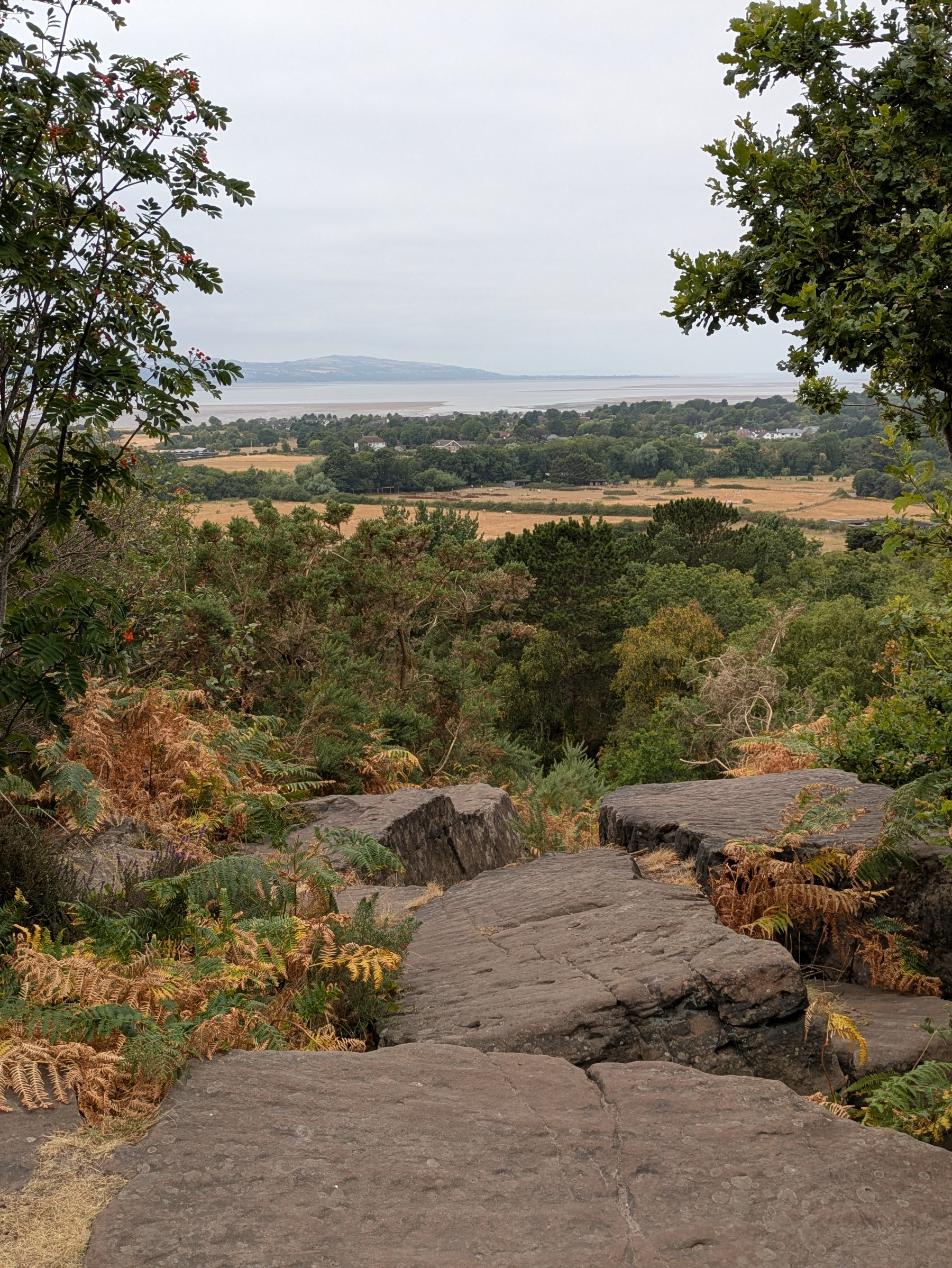
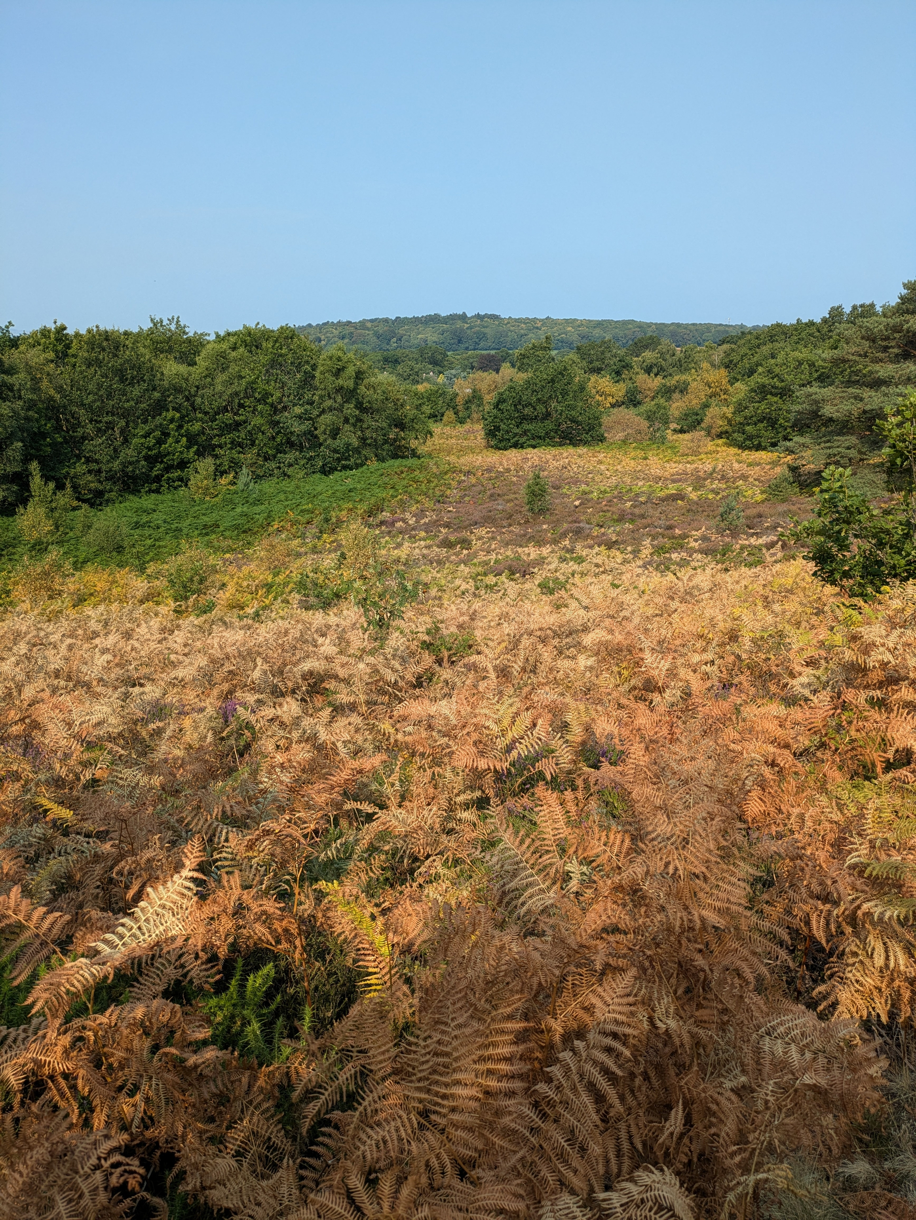
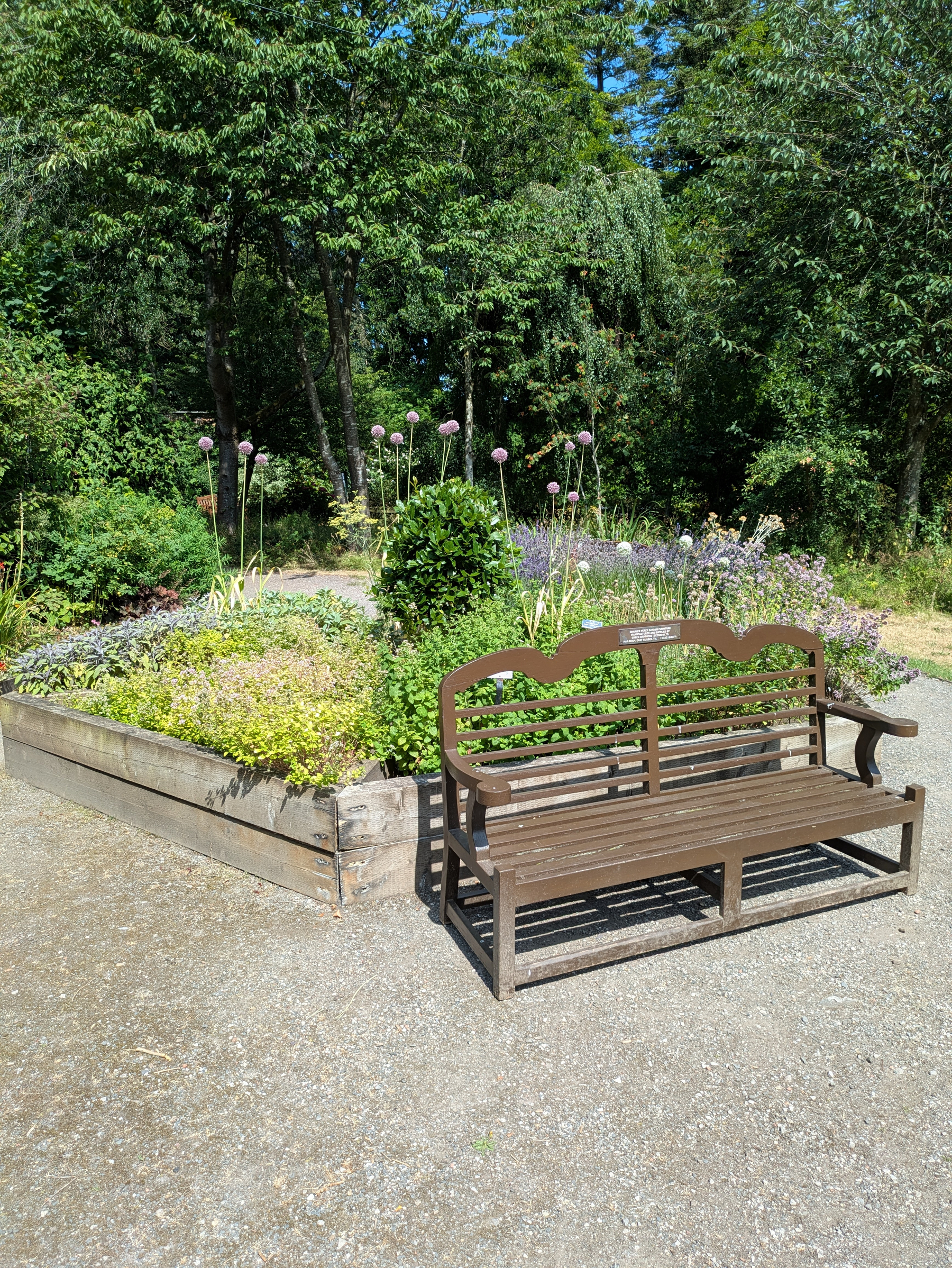
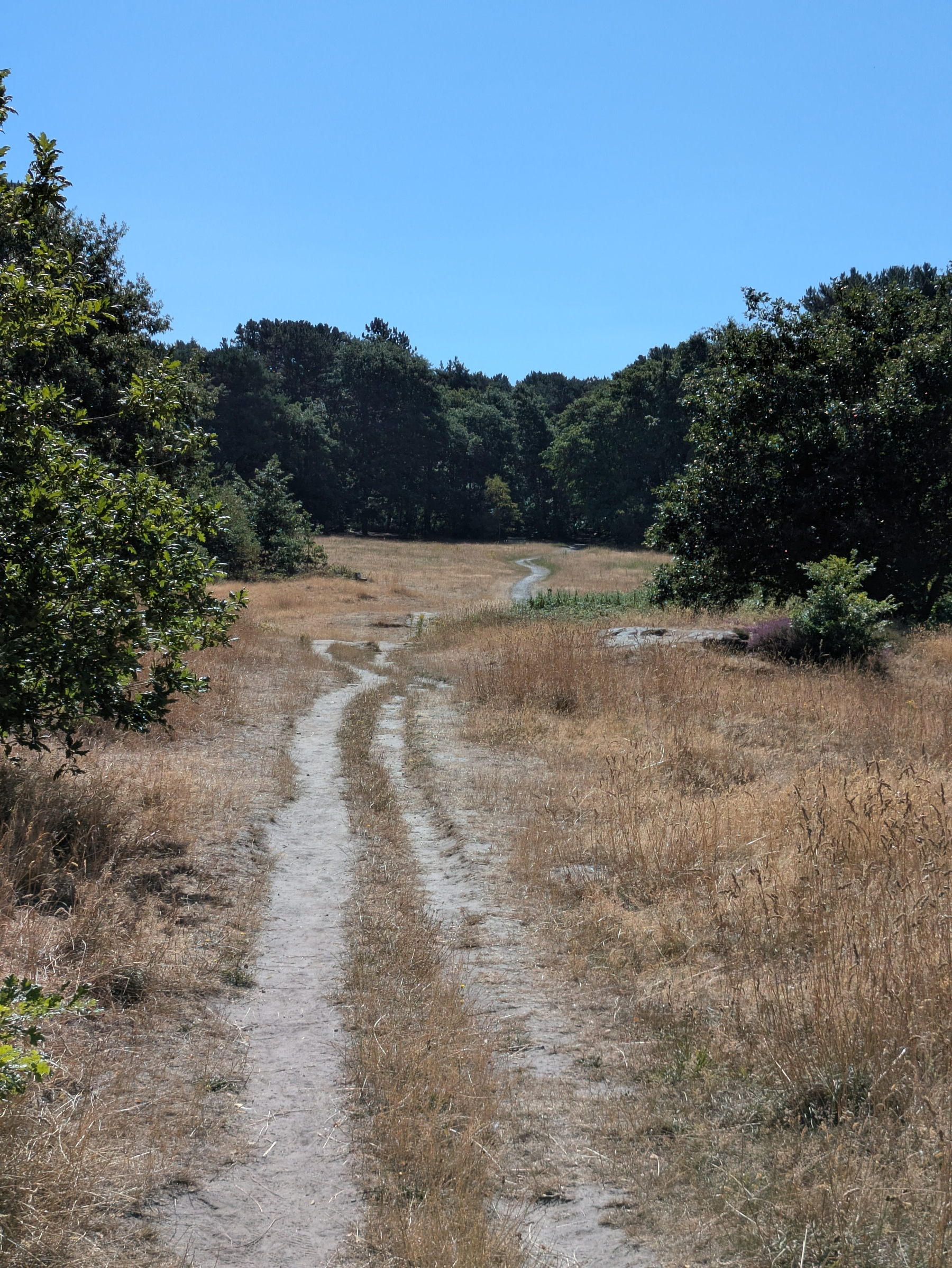
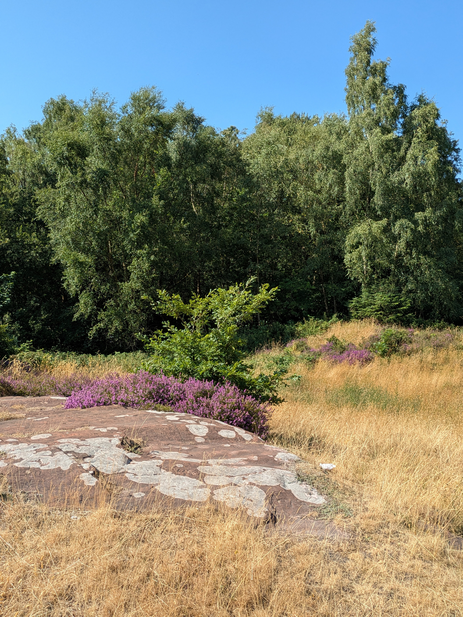
Slightly cooler in #Royden but still a heat haze at the top. On exposed slopes the bracken has turned a golden brown, heather has faded and fields are parched. The walled garden is an oasis for a reason.
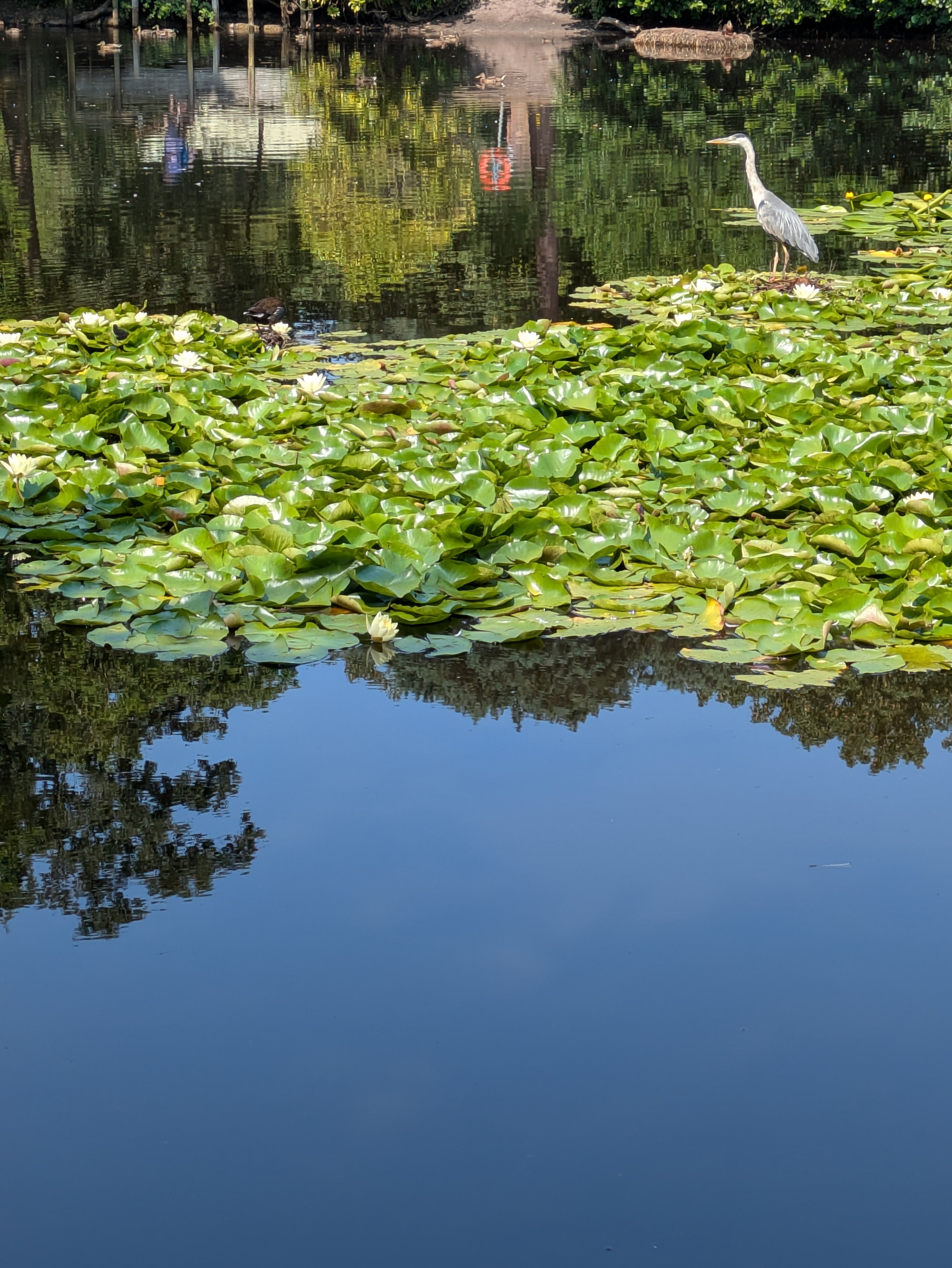
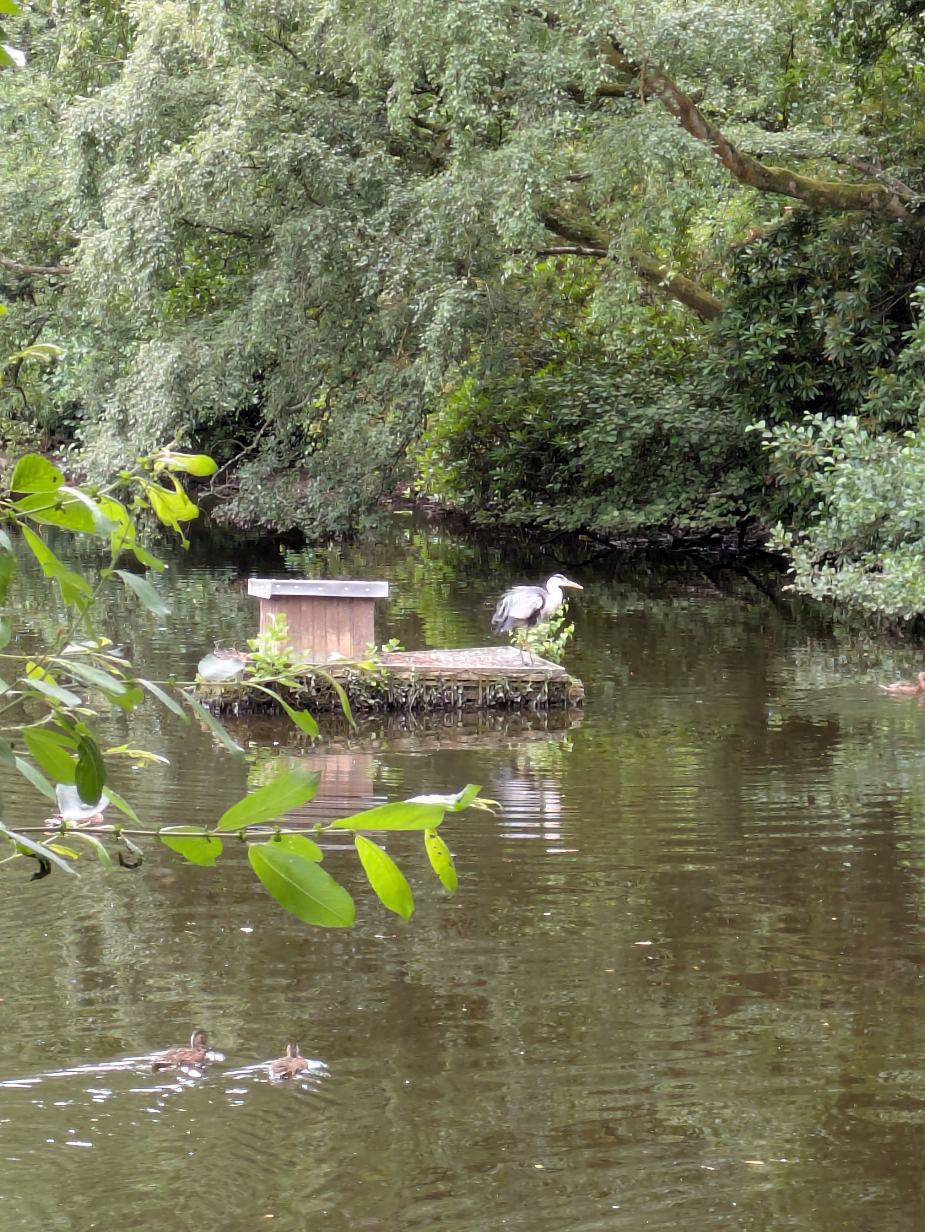
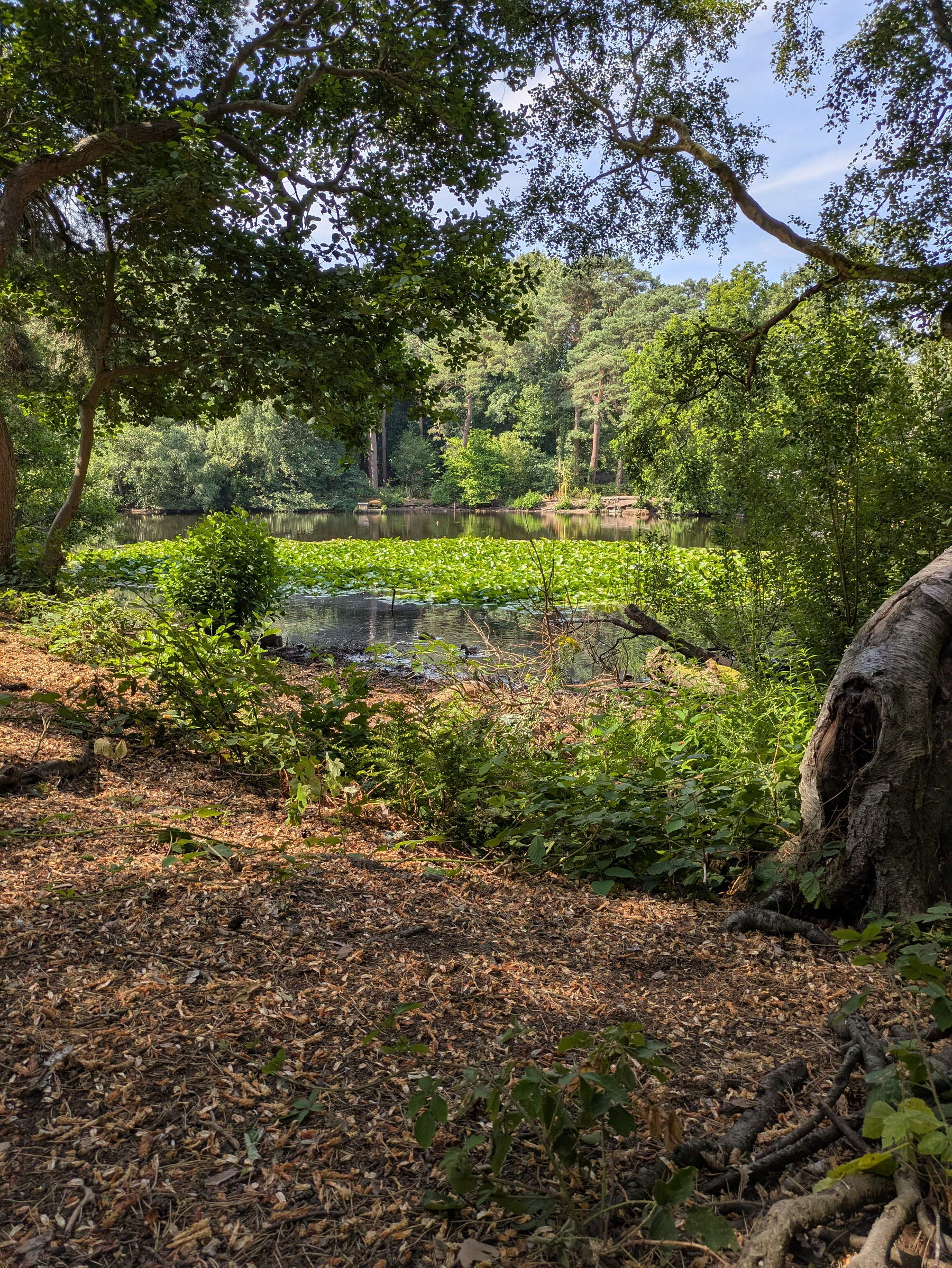
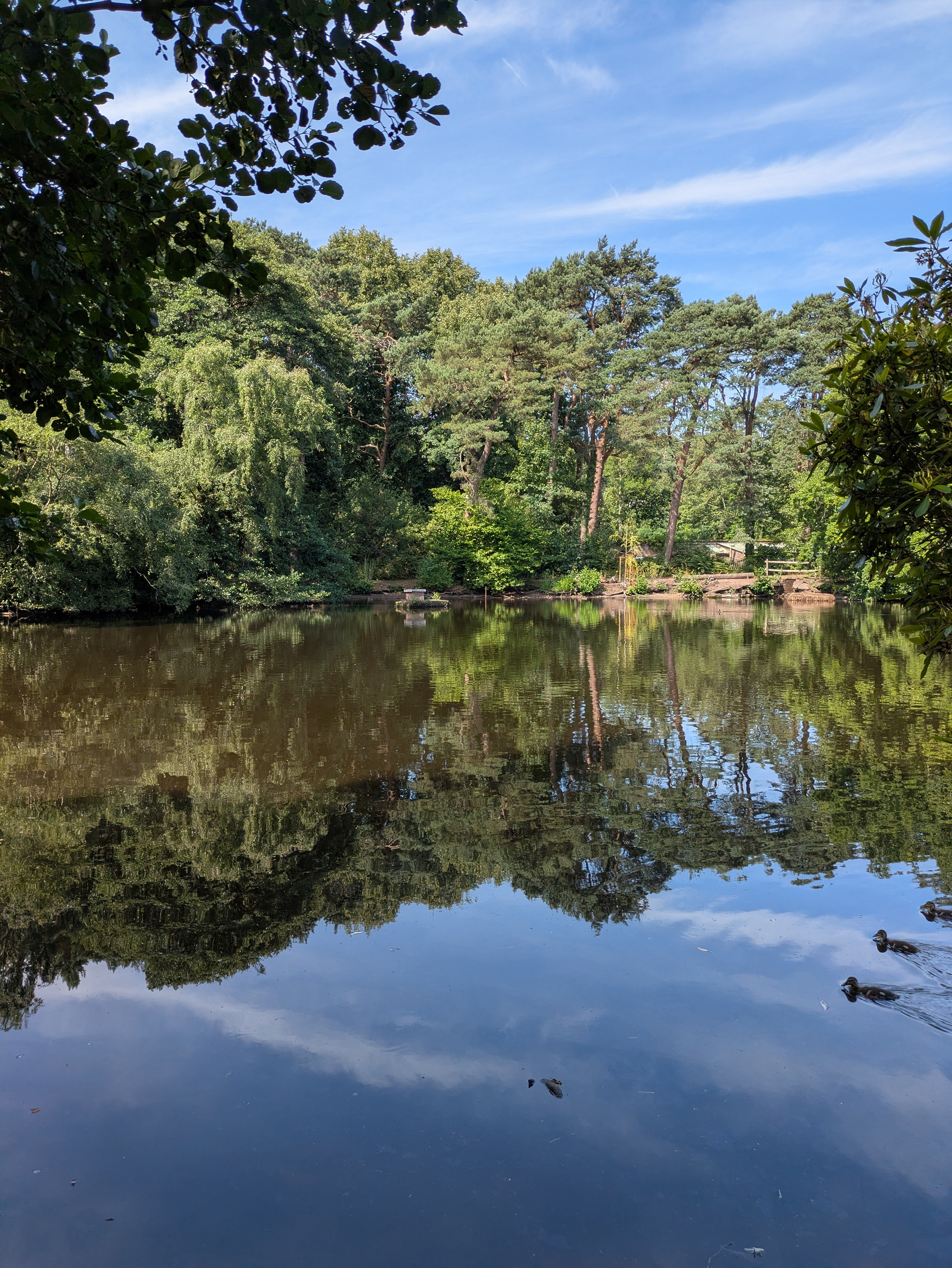
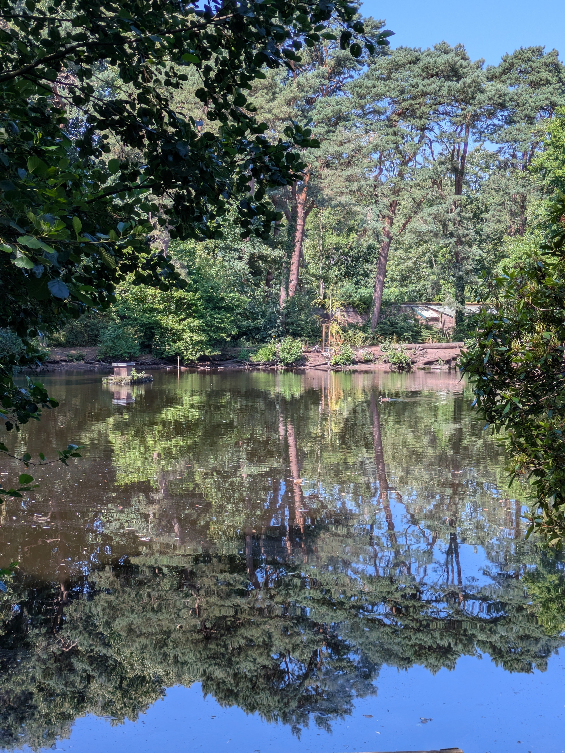
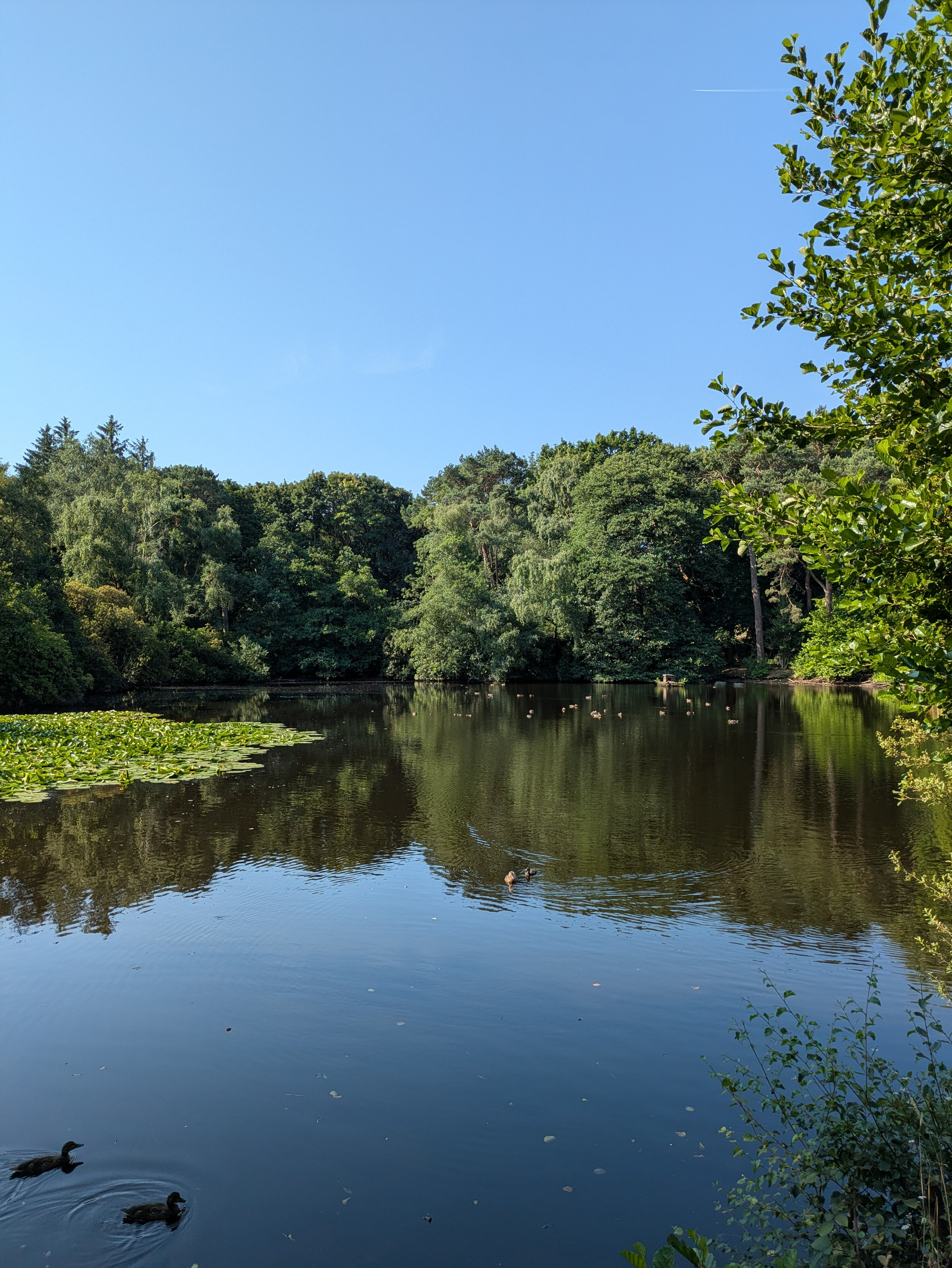
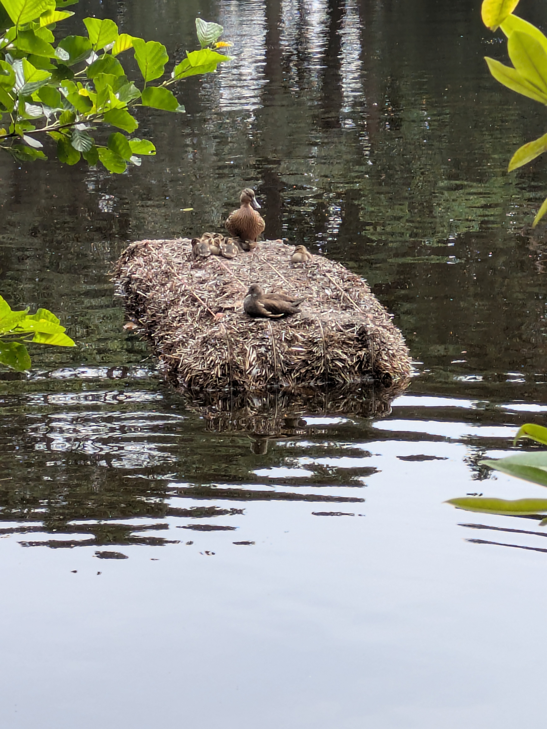
As ever, seeking shade this morning in #Royden. Missing gazebo seats relocated elsewhere in walled garden. Ducklings photobombing view of the mere.
Warm this morning in #Royden. Have forgotten what rain is. Tayberry scone at Benty’s so that’s two of my 5-a-day.
As an occasional Yuka user it’s interesting to see at least one French food manufacturer modifying its products to achieve better scores. BBC News - Is tracking your food purchases good for your health? www.bbc.co.uk/news/arti…
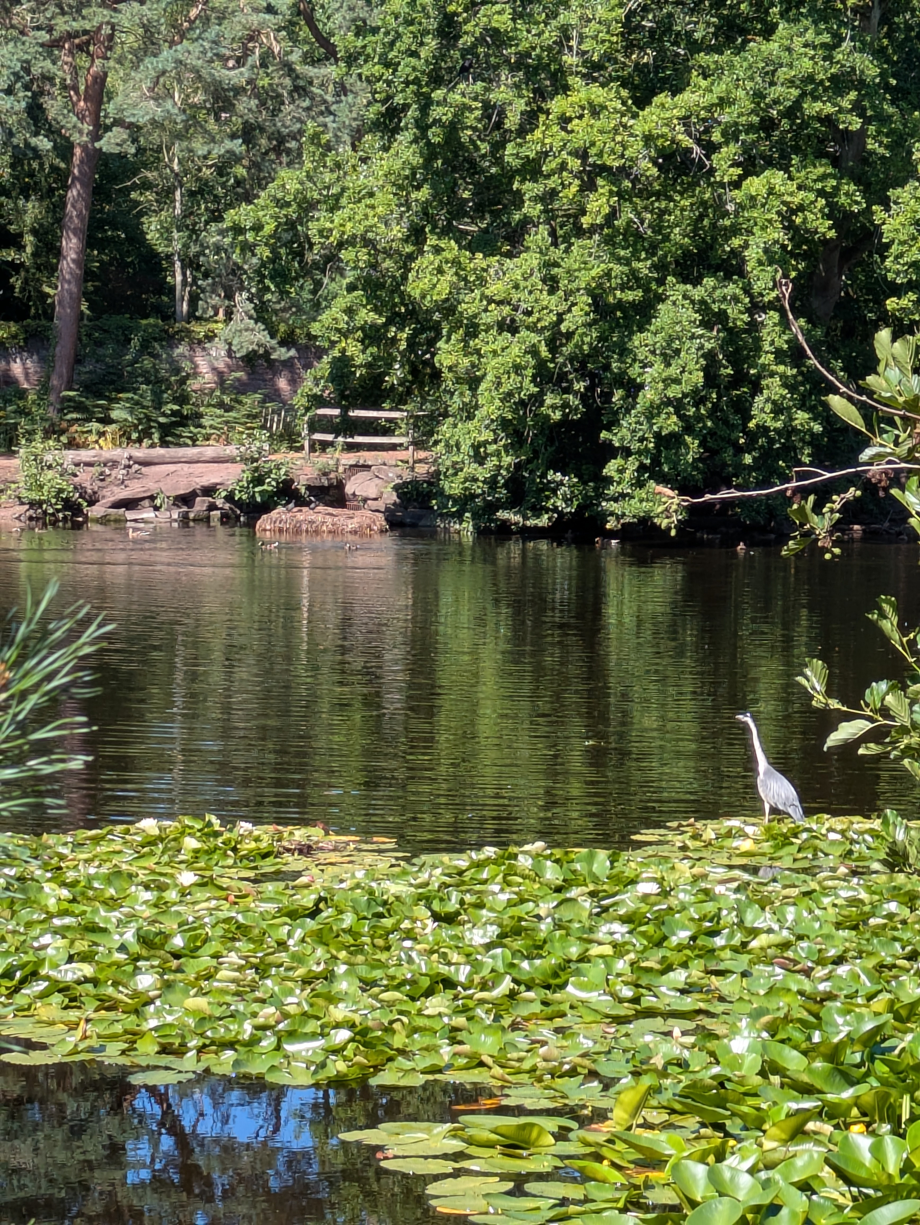
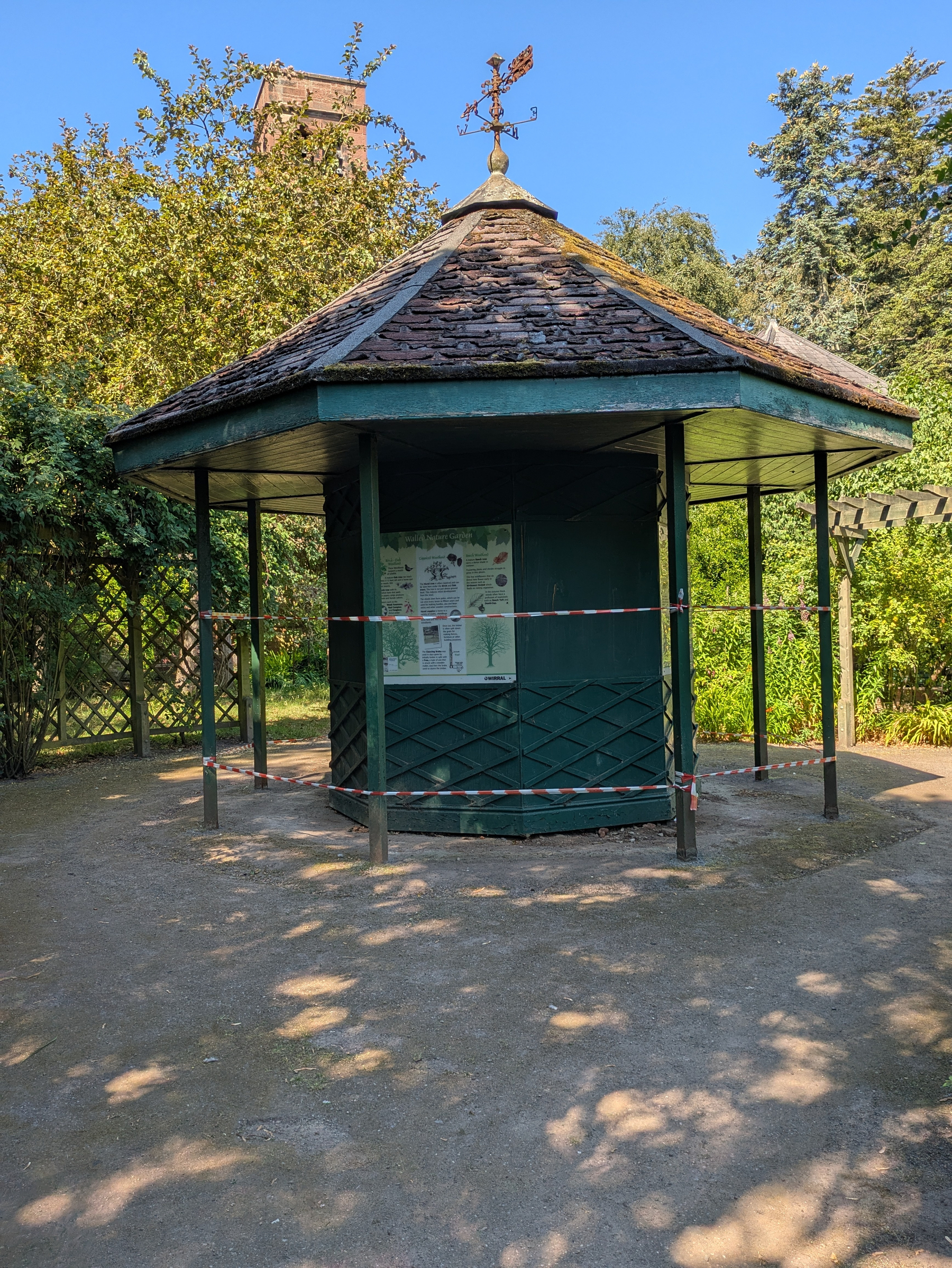
Yes, warm again in #Royden this morning. Cloudless sky. Heron on patrol. Walled garden gazebo taped off. Not sure why. Could use some TLC.
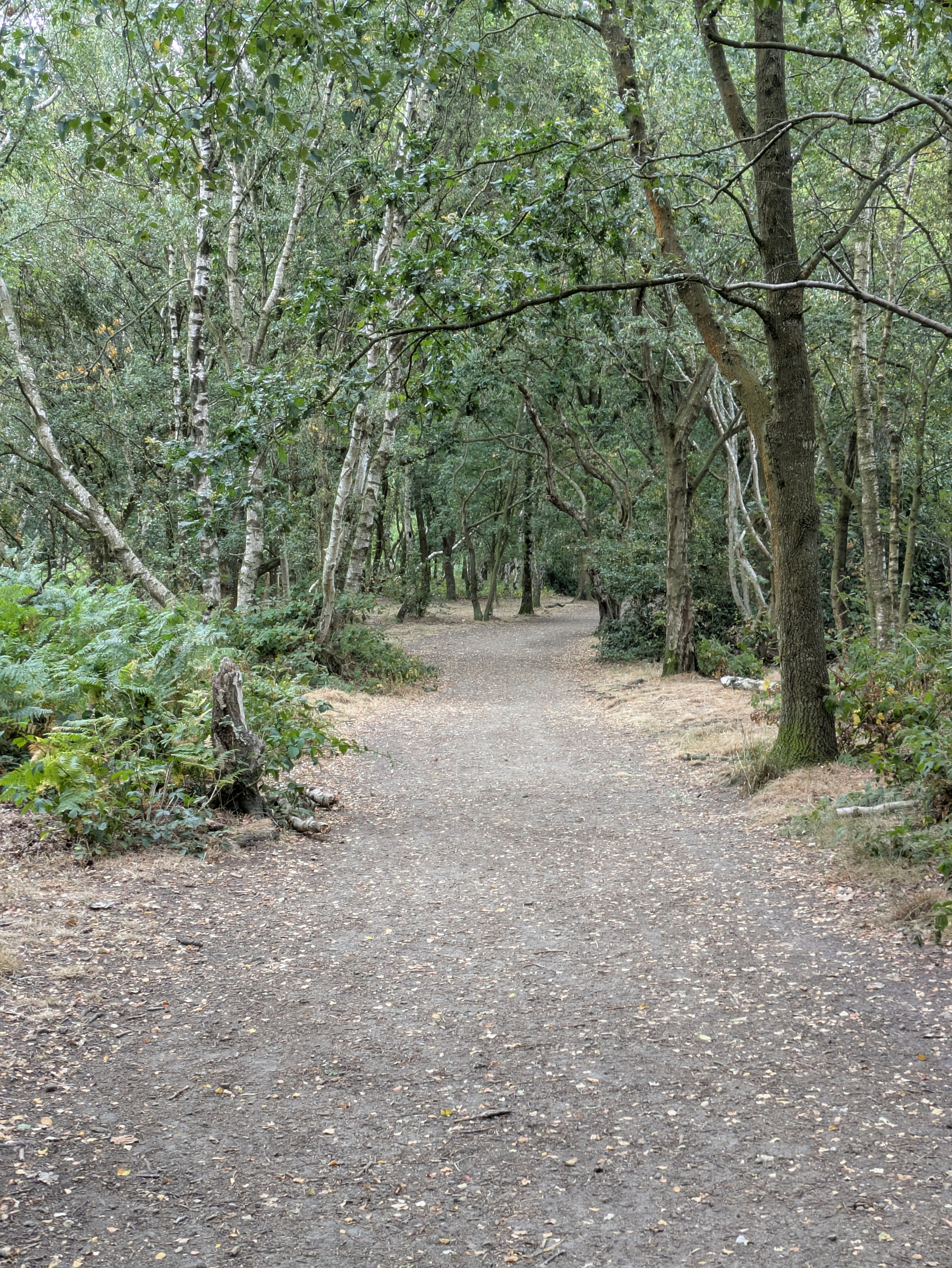
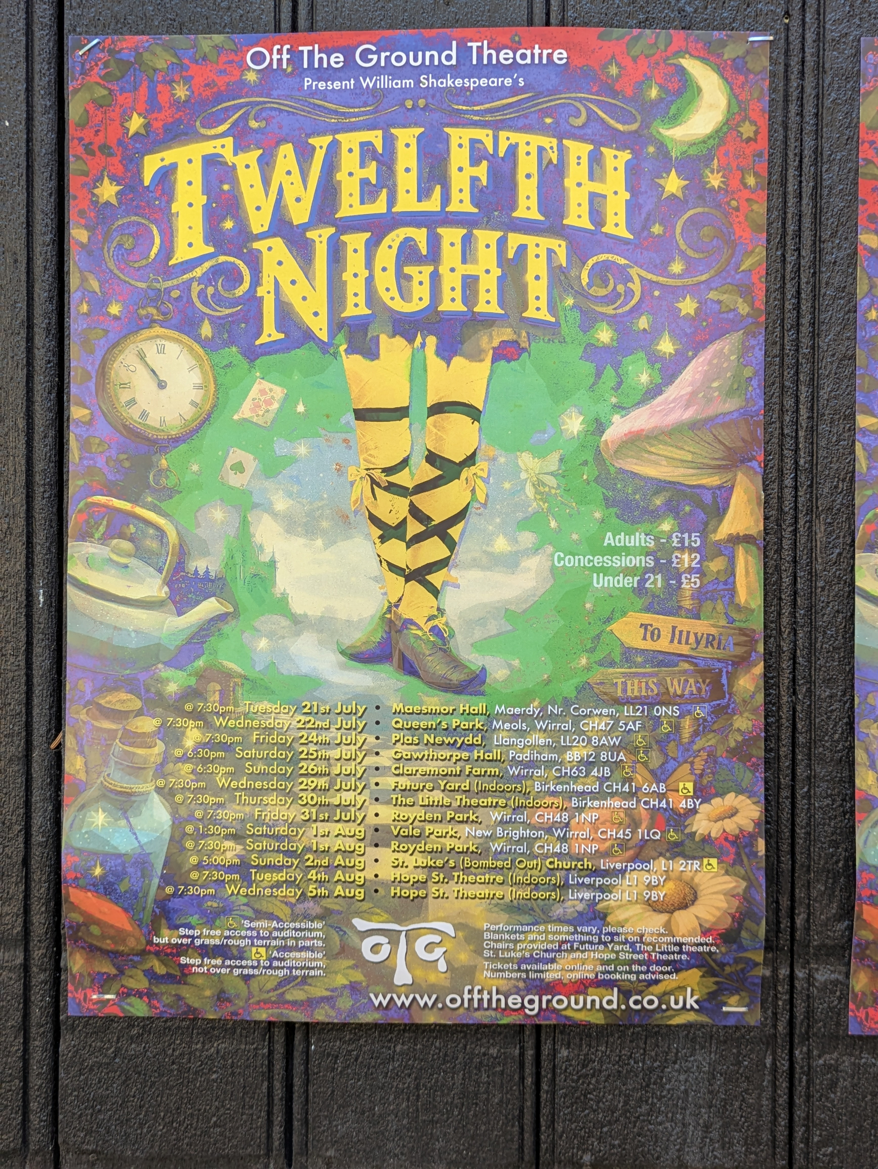
Pleasantly warm this morning in #Royden and fairly quiet. Coffee and carbs at the courtyard. Open air Shakespeare towards the end of the month.
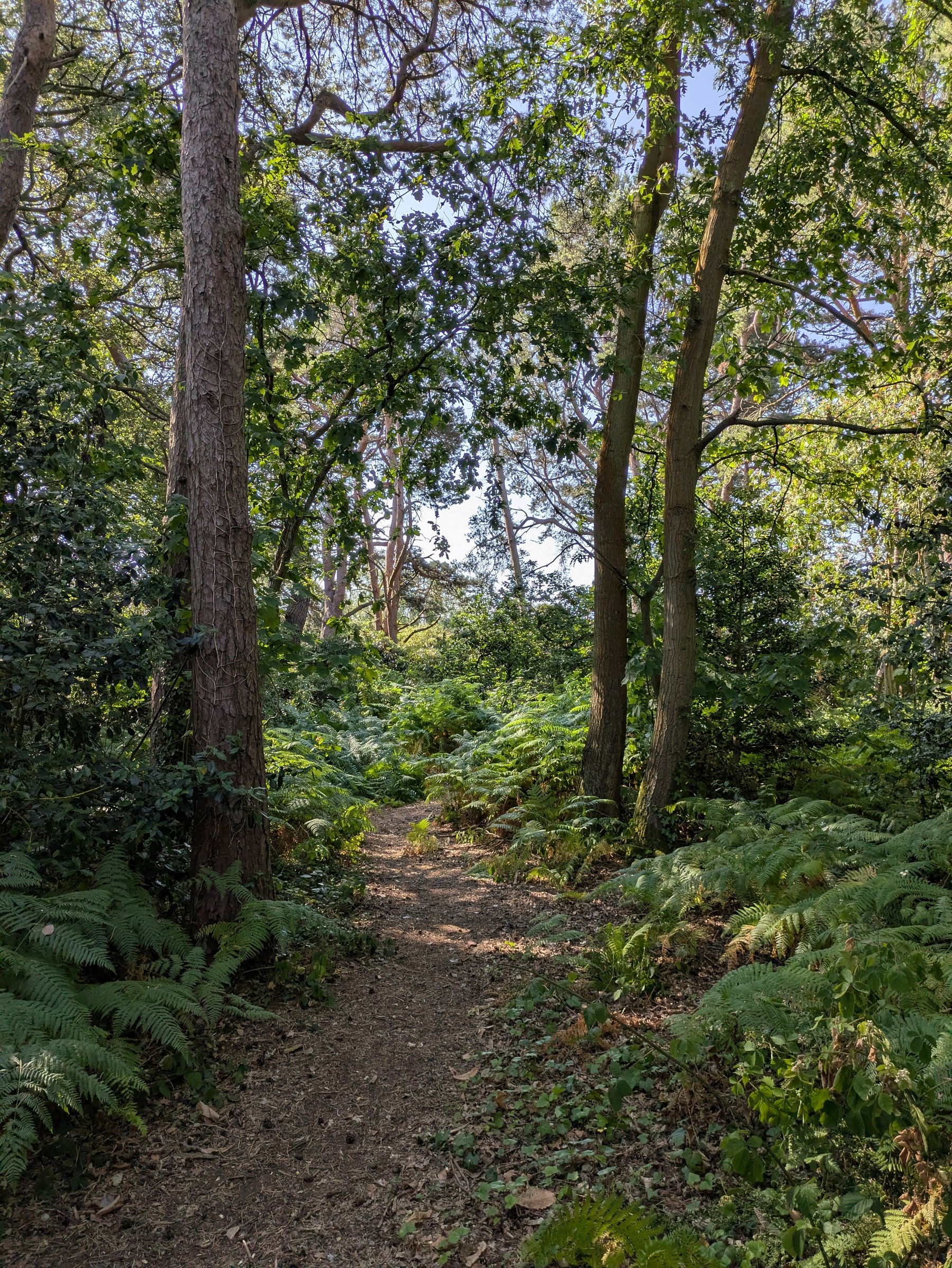
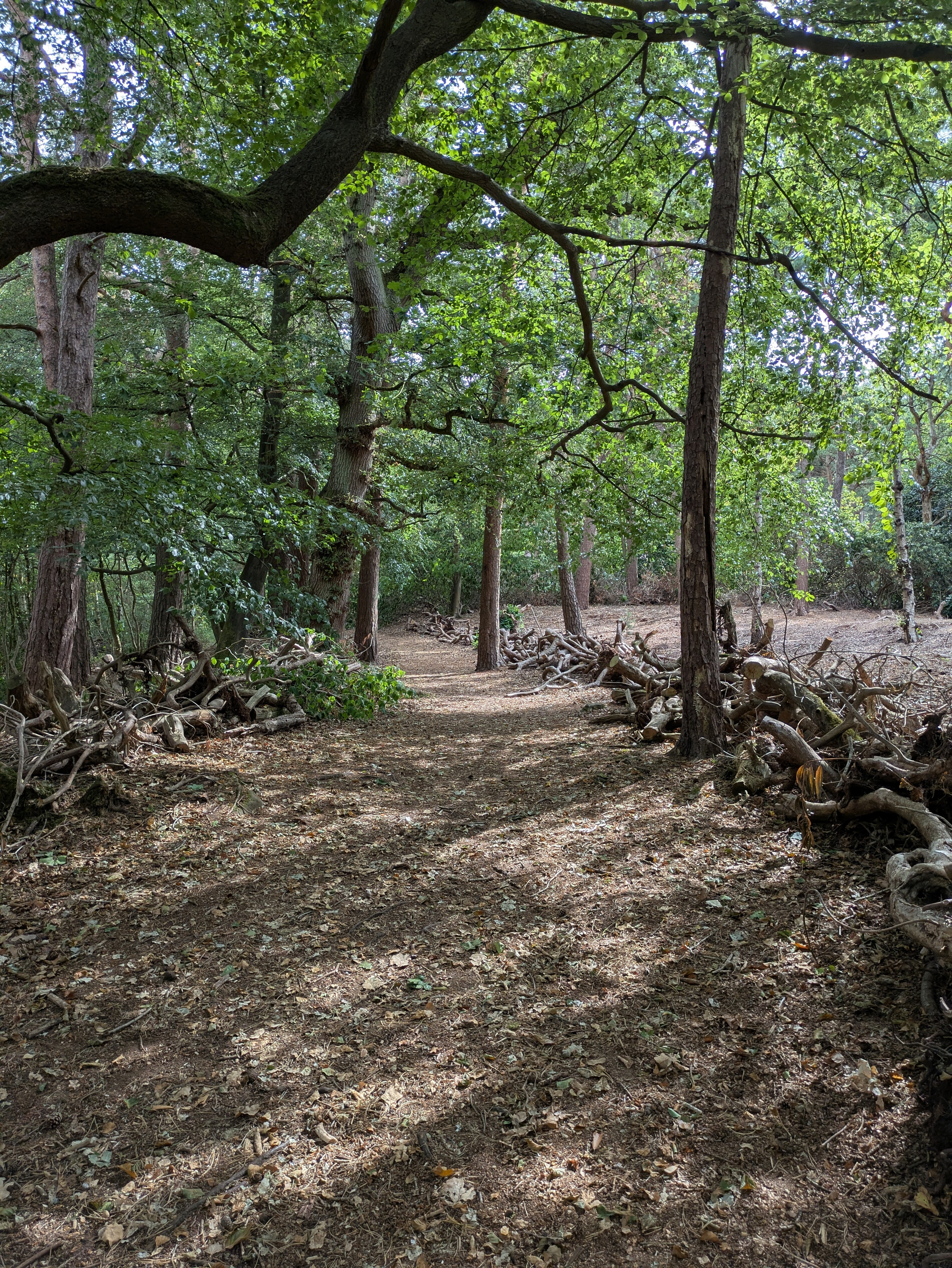
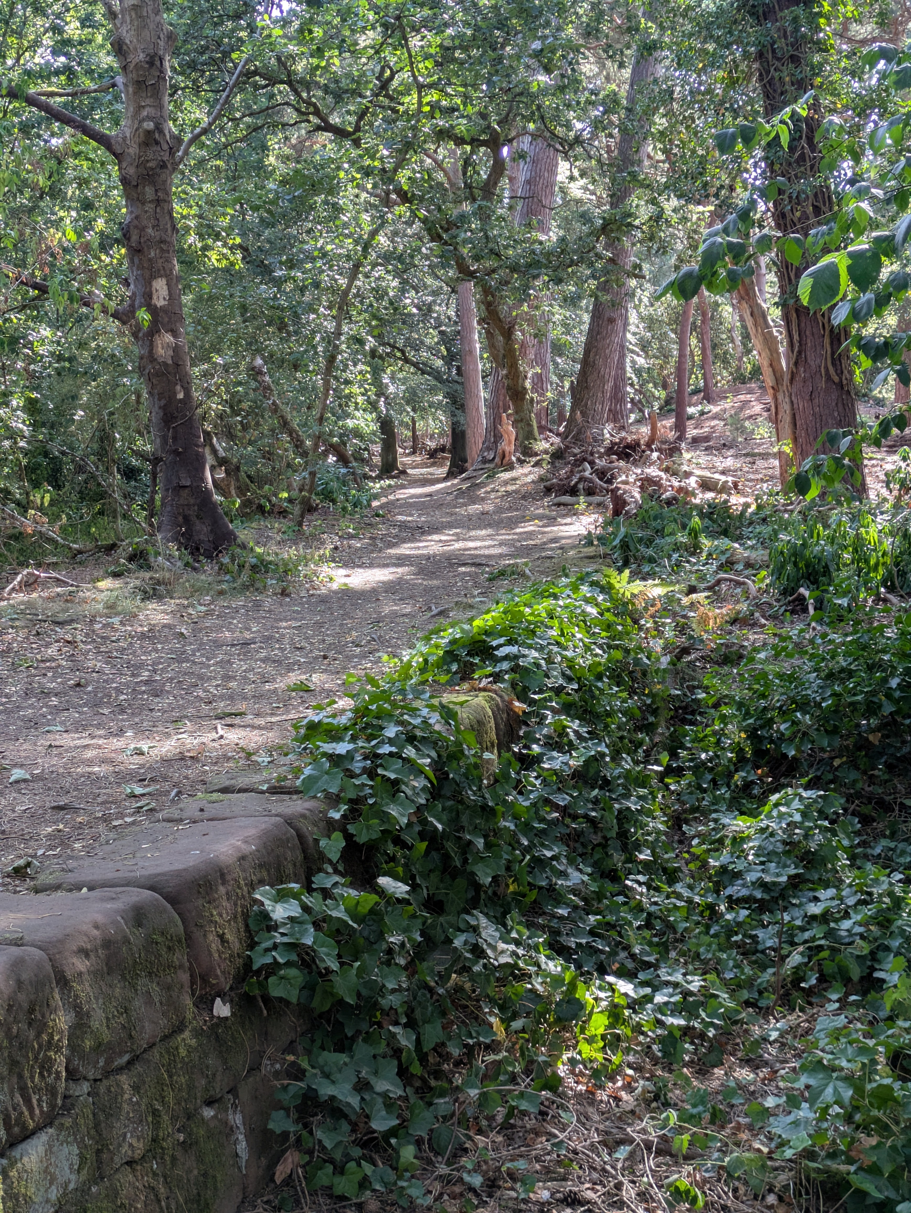
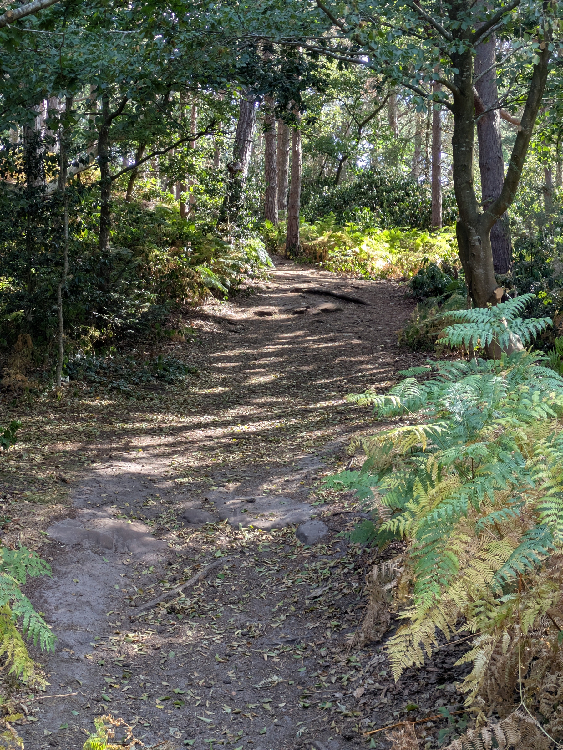
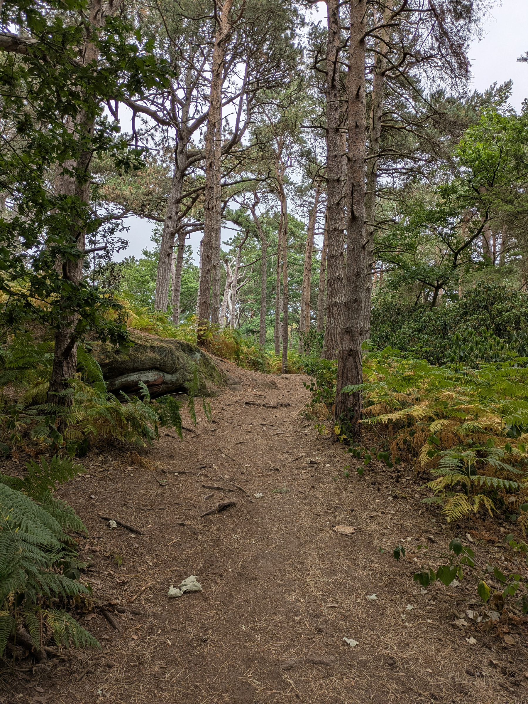
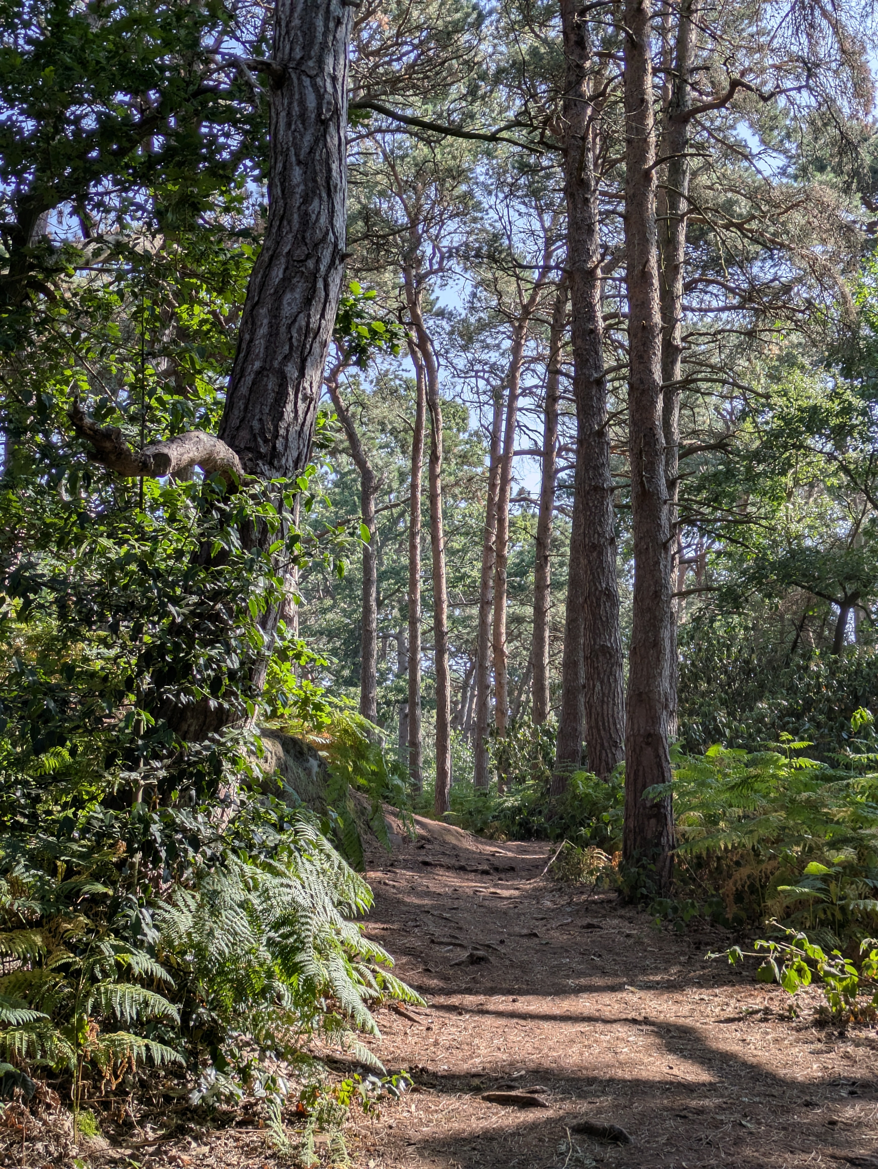
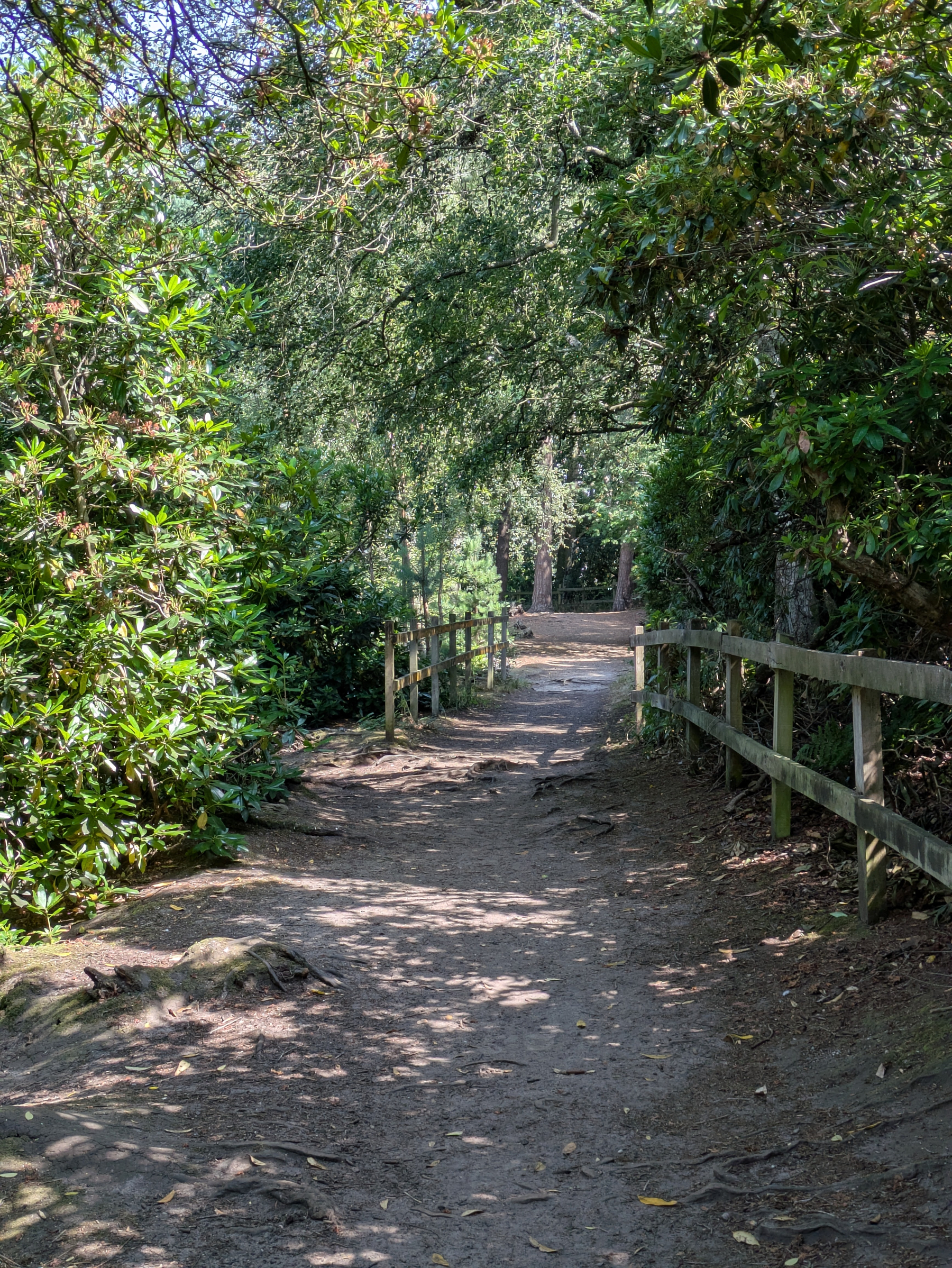
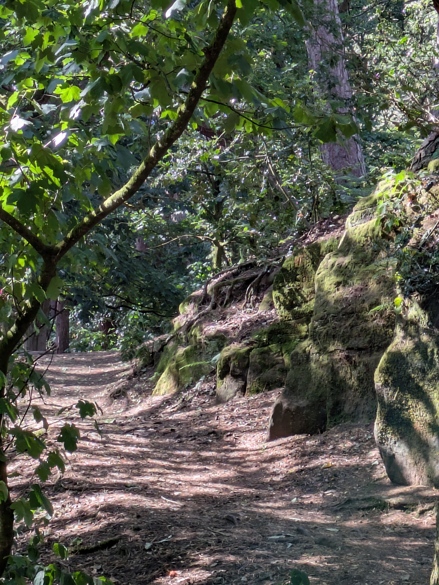
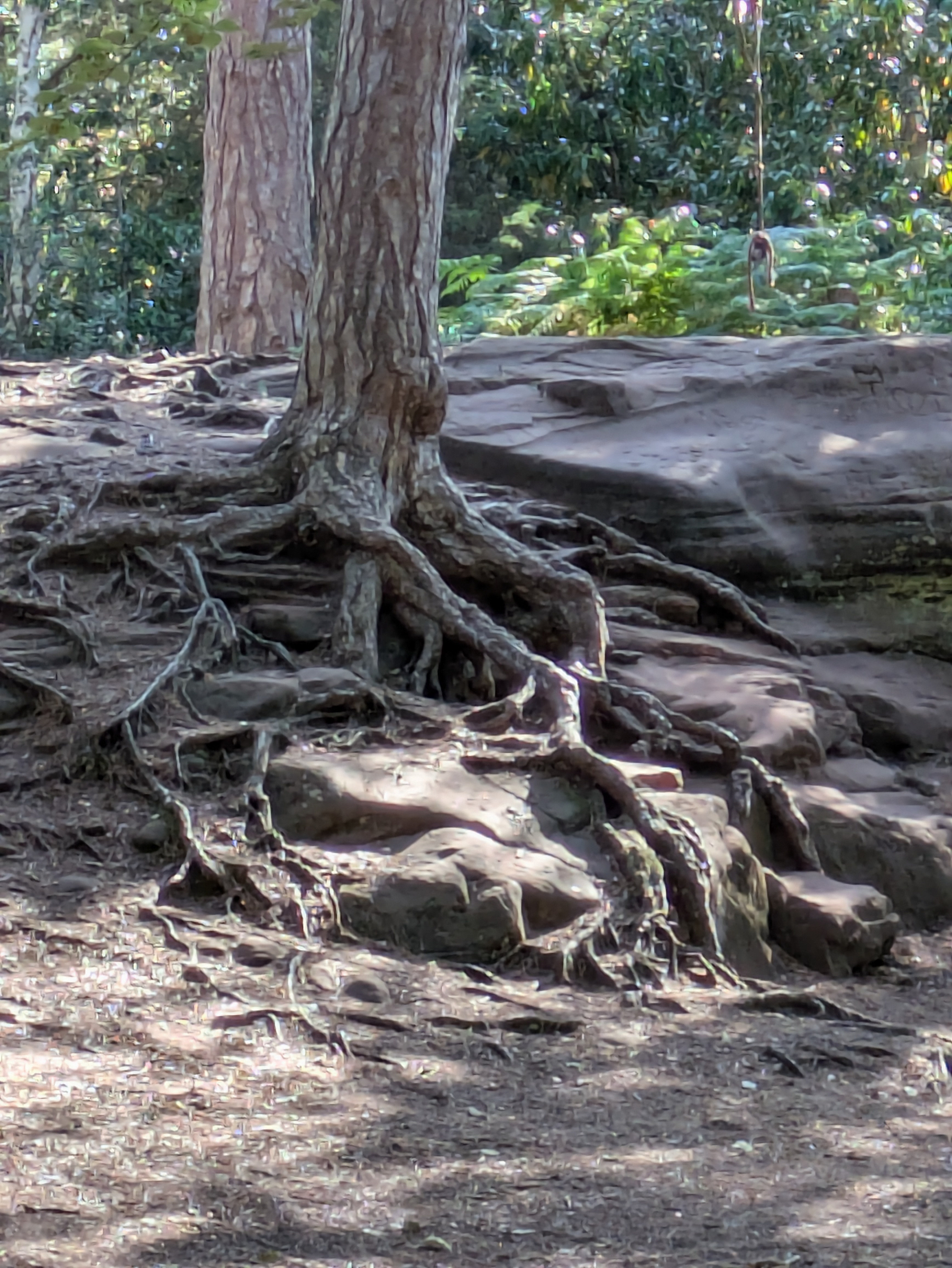
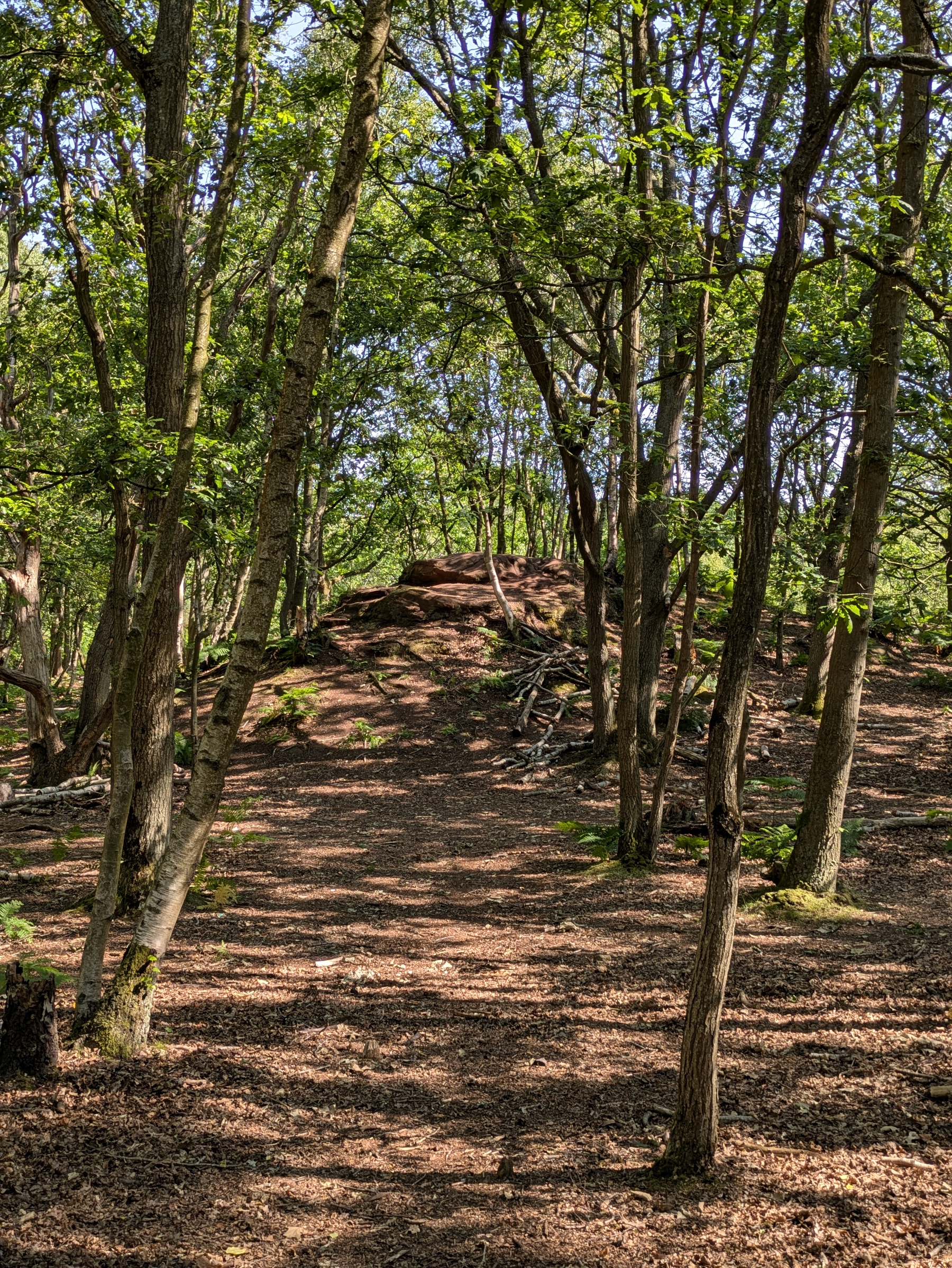
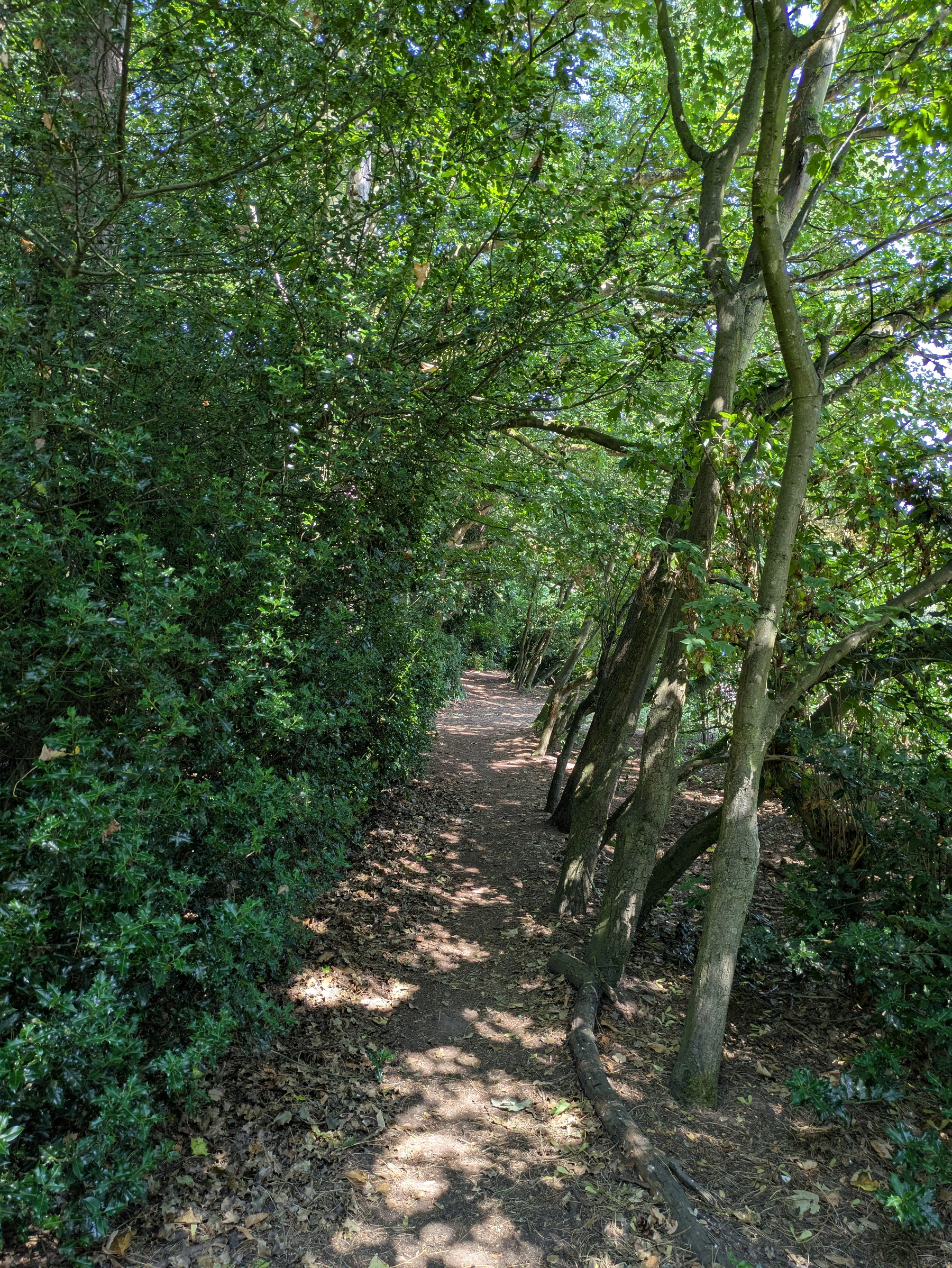
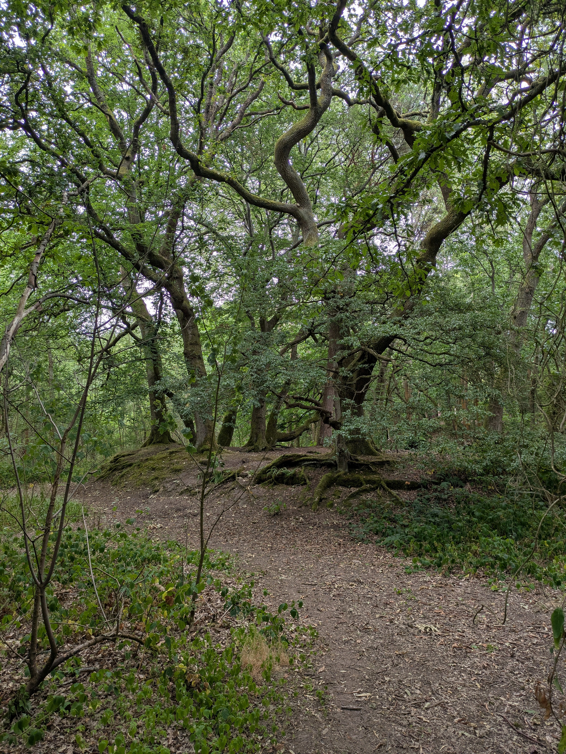
Another day of keeping mostly to the shade in #Royden. Fascinated by the tree growing on rocks and wondering whether it walks around when noone’s looking.
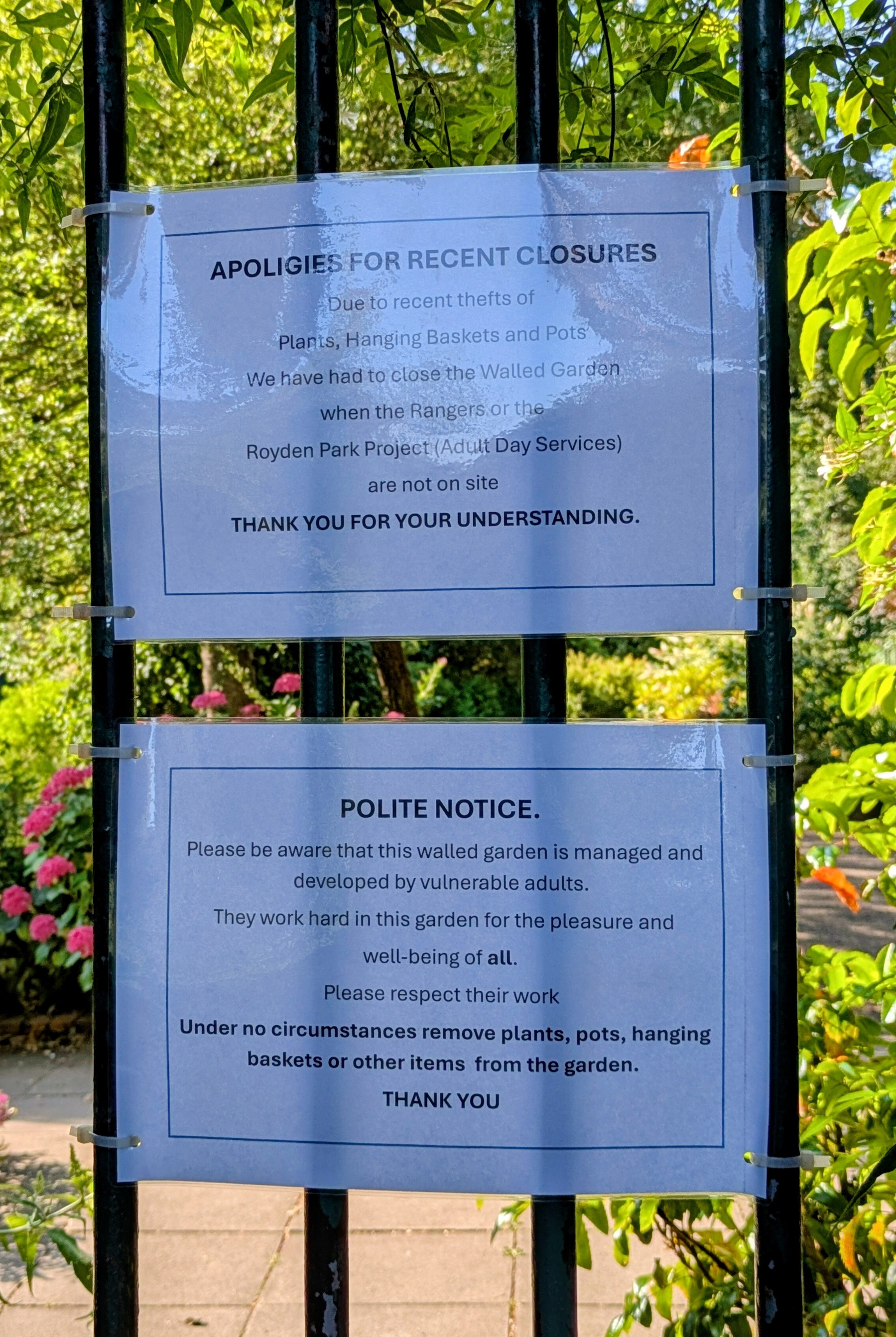
Cloudless sky at #Royden this morning. Going to be hot later. Clockwise route for a change. Walled garden closed with explanatory posters. This is why we cannot have nice things.
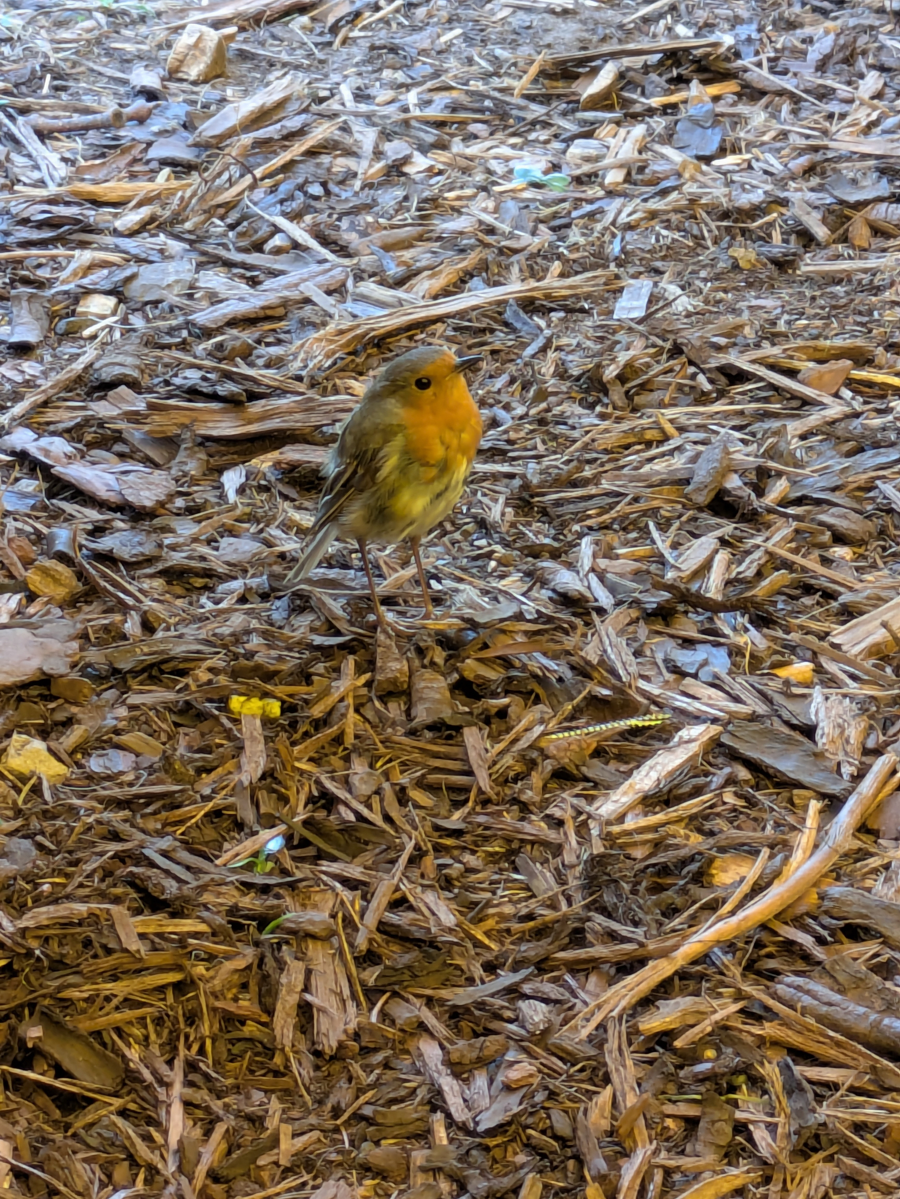
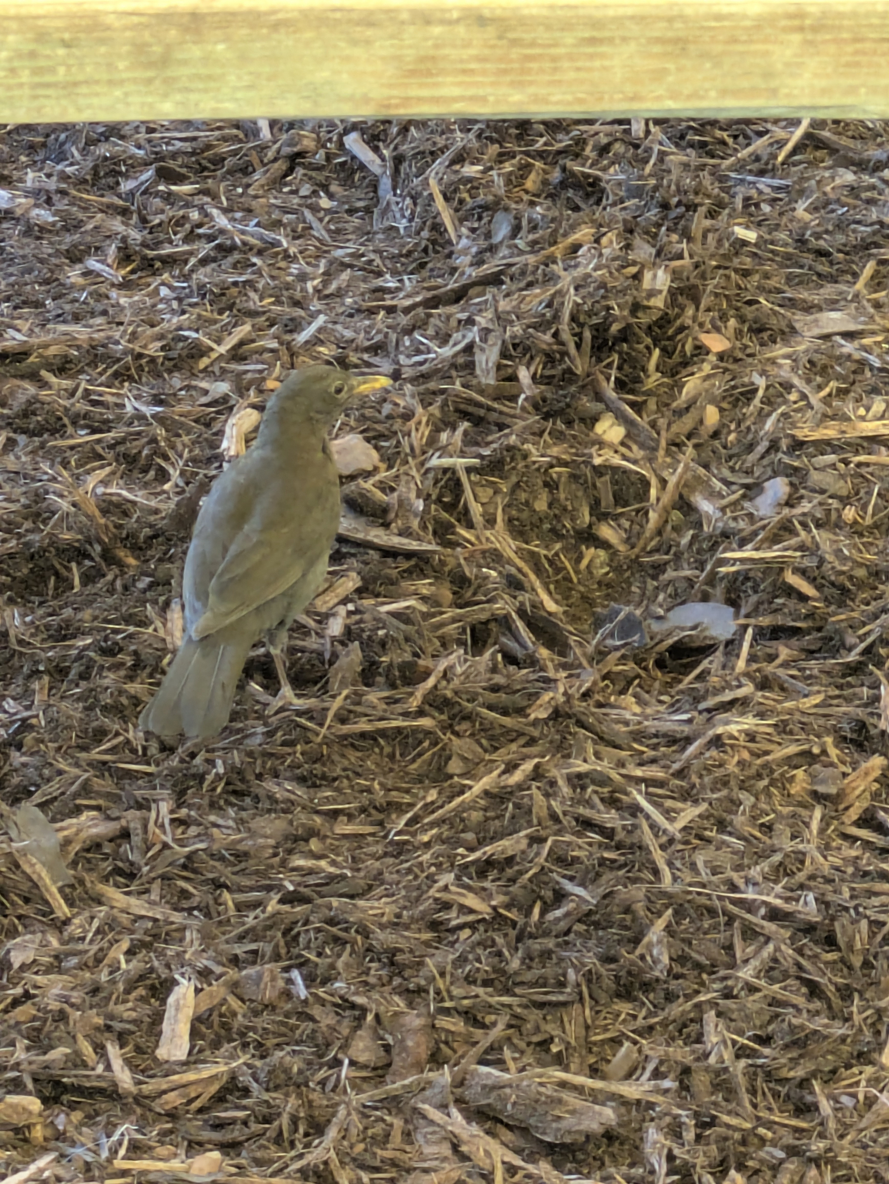
Out early in #Royden while it wasn’t too warm. Lots of other people with the same idea. Robin enjoying the shade and crumbs at Benty’s.
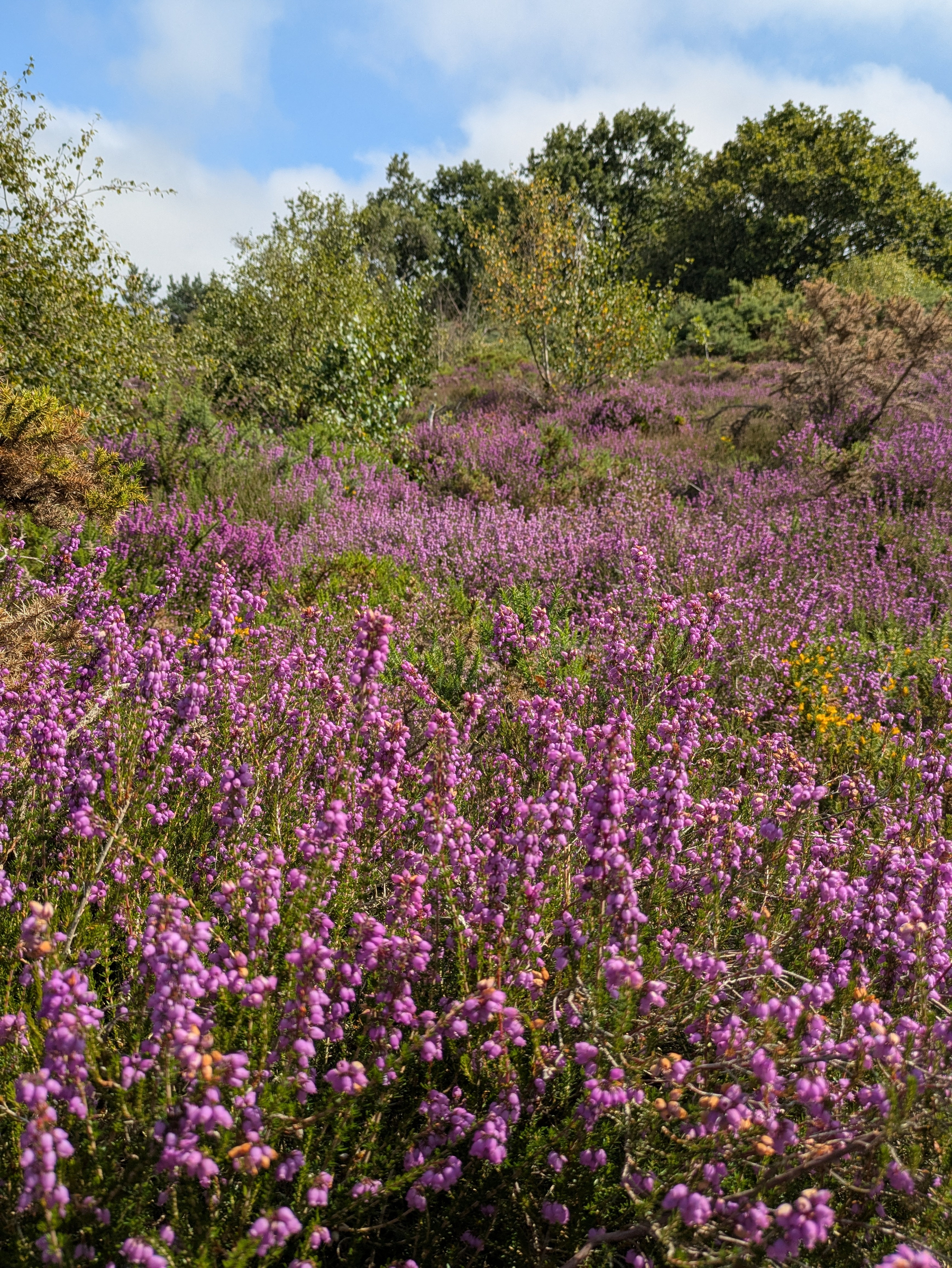
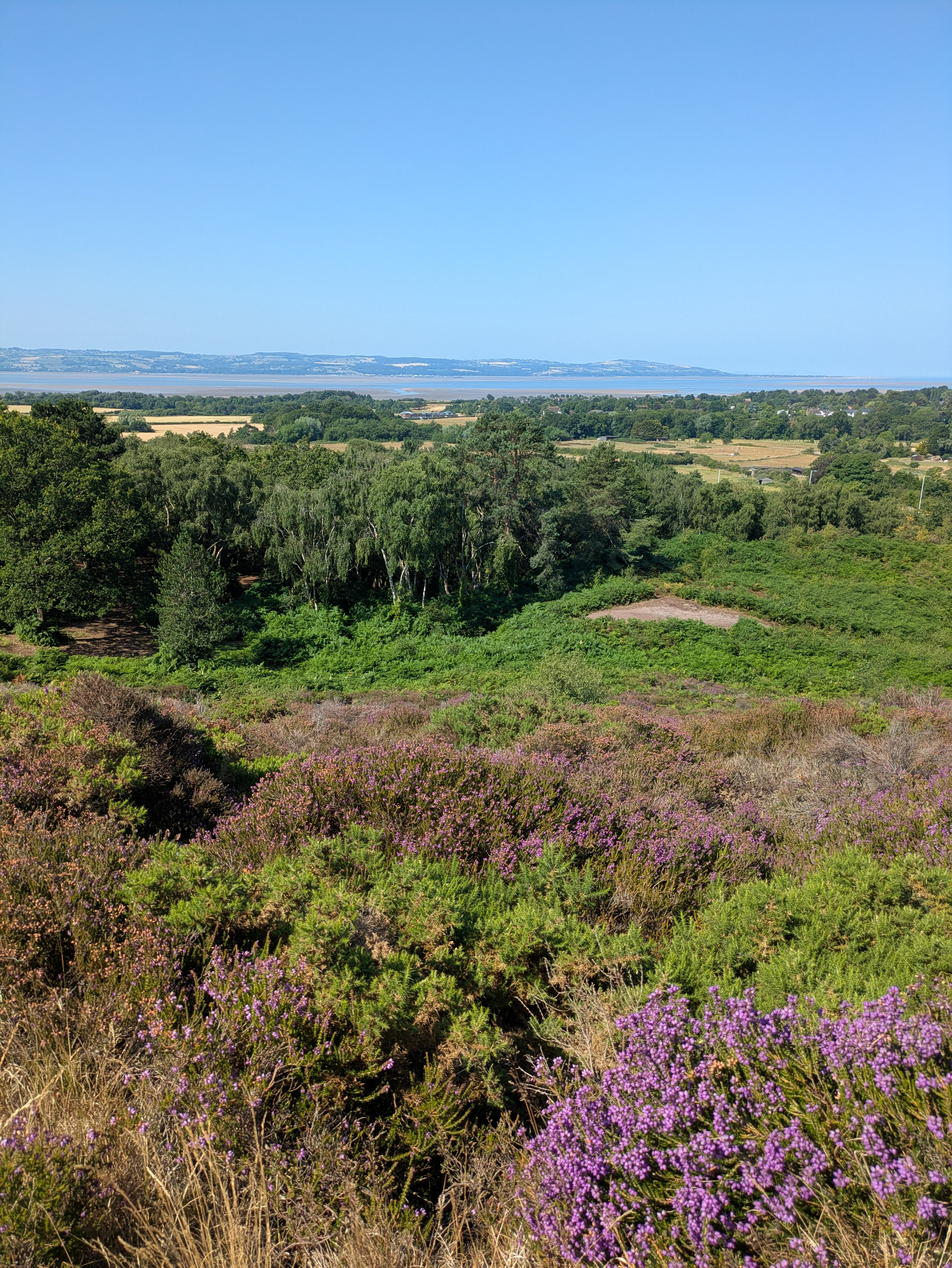
Purple vista at #Royden this morning. loops.video/v/gMvlvNY…
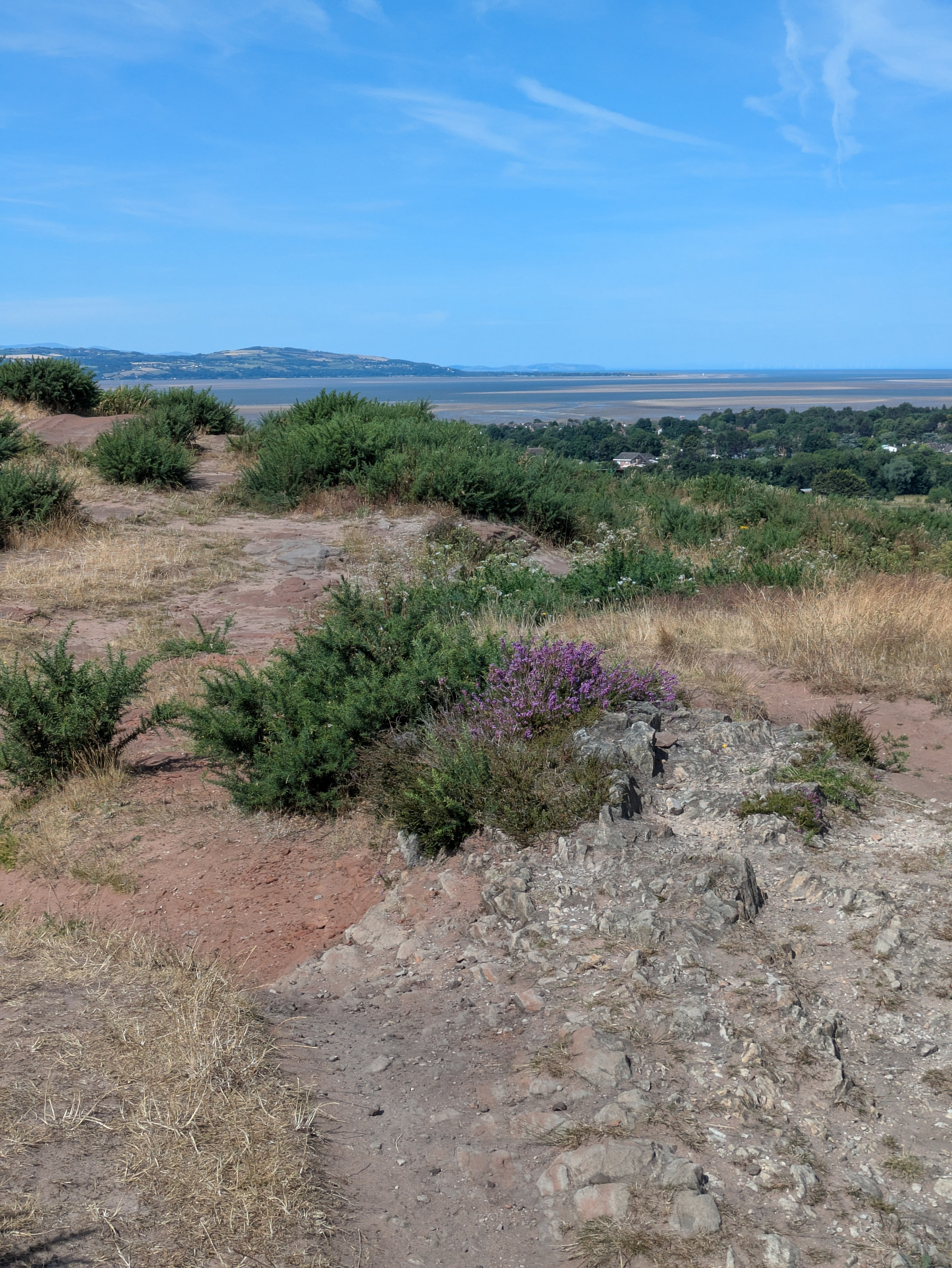
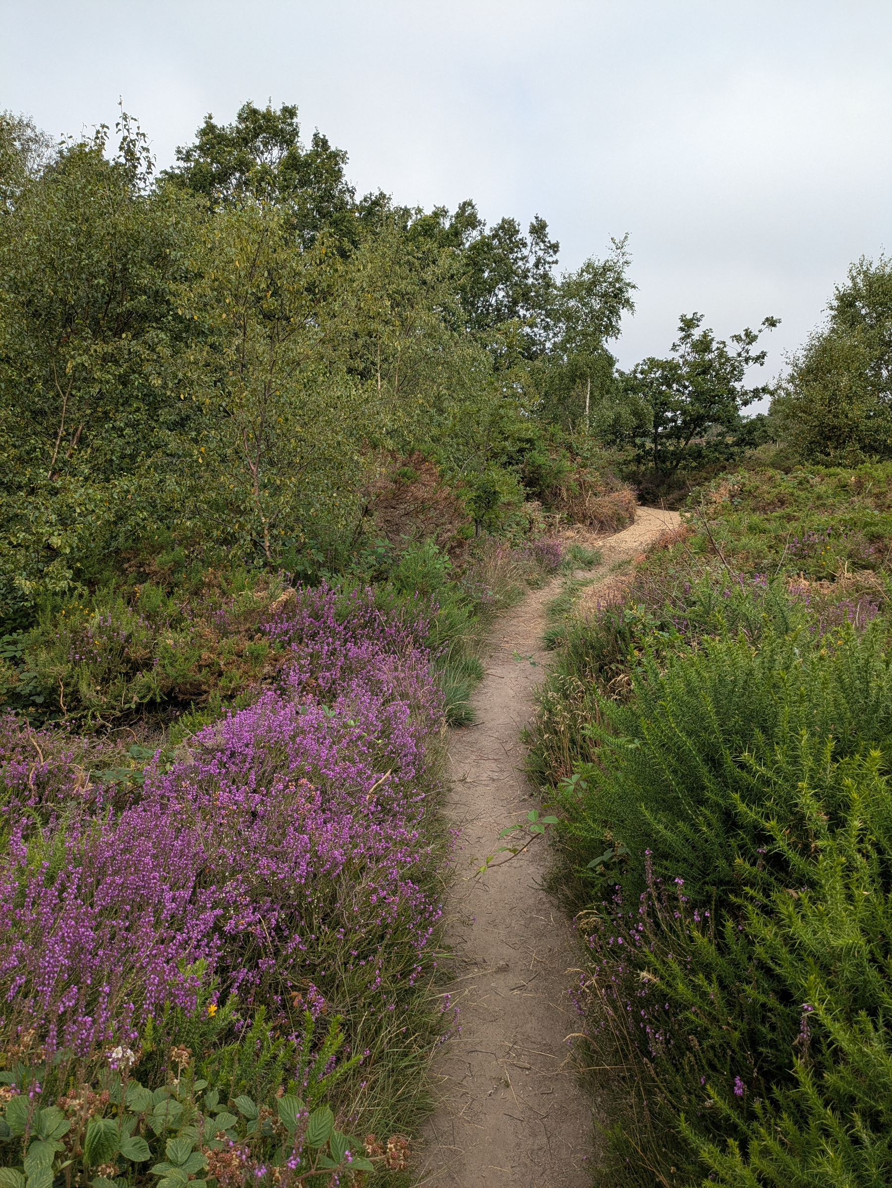
Pleasantly mild this morning in #Royden. Parched grass and peak heather in places. Coffee and carbs at Benty’s.
Cloudless sky and not much by way of a breeze this morning in #Royden. New floor show at Benty’s.
Brief visit to #Royden this morning. Heron striking a pose on the mere. Ducklings all present and correct. Coffee and carbs at the courtyard.
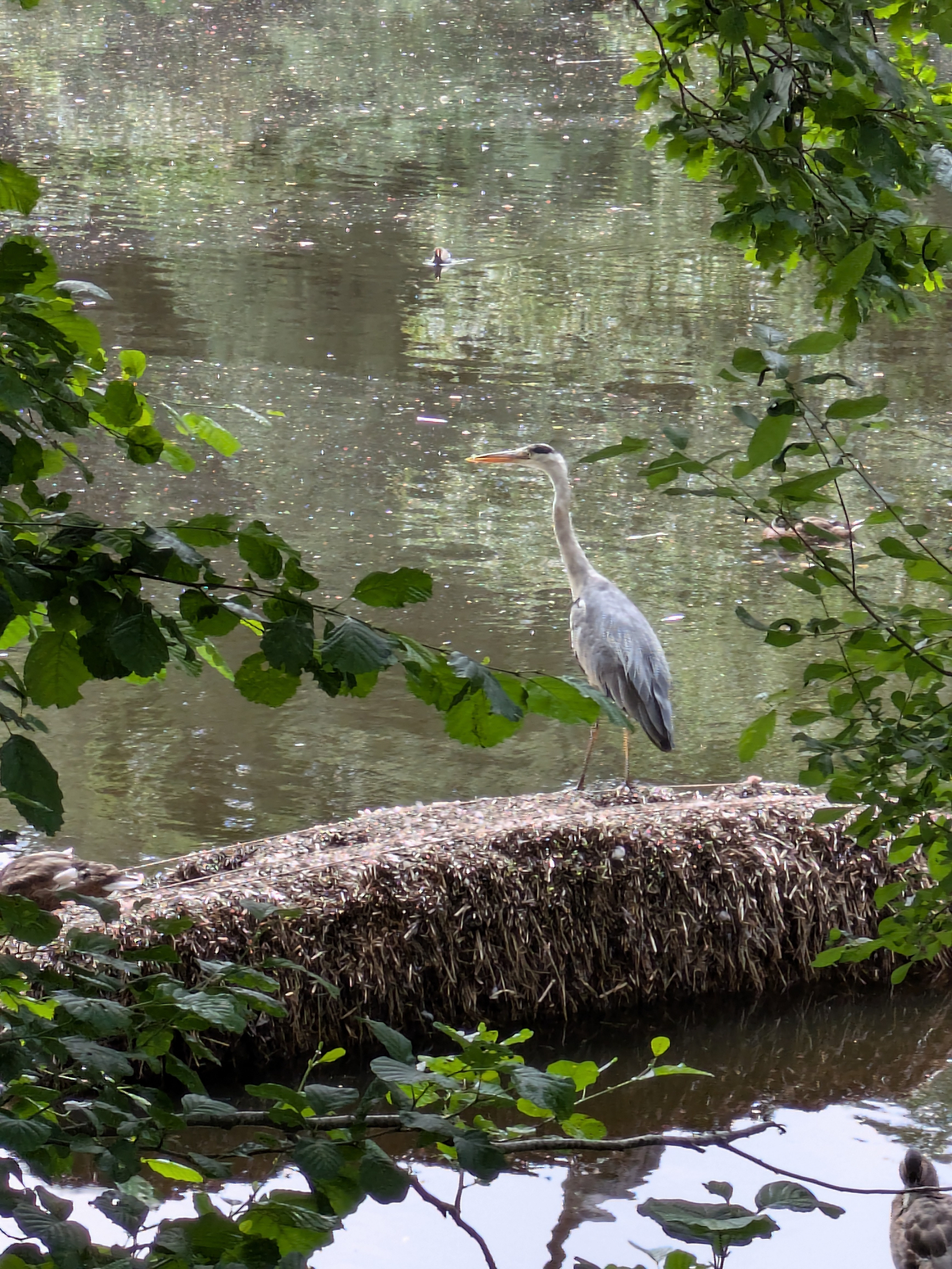
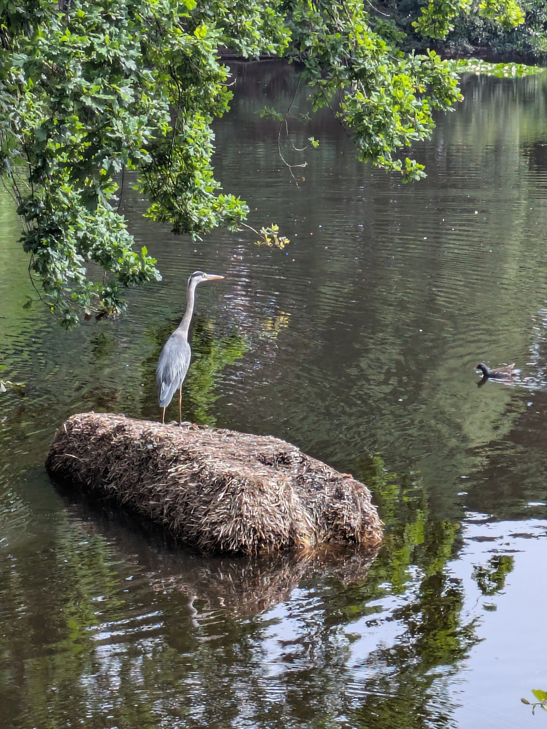
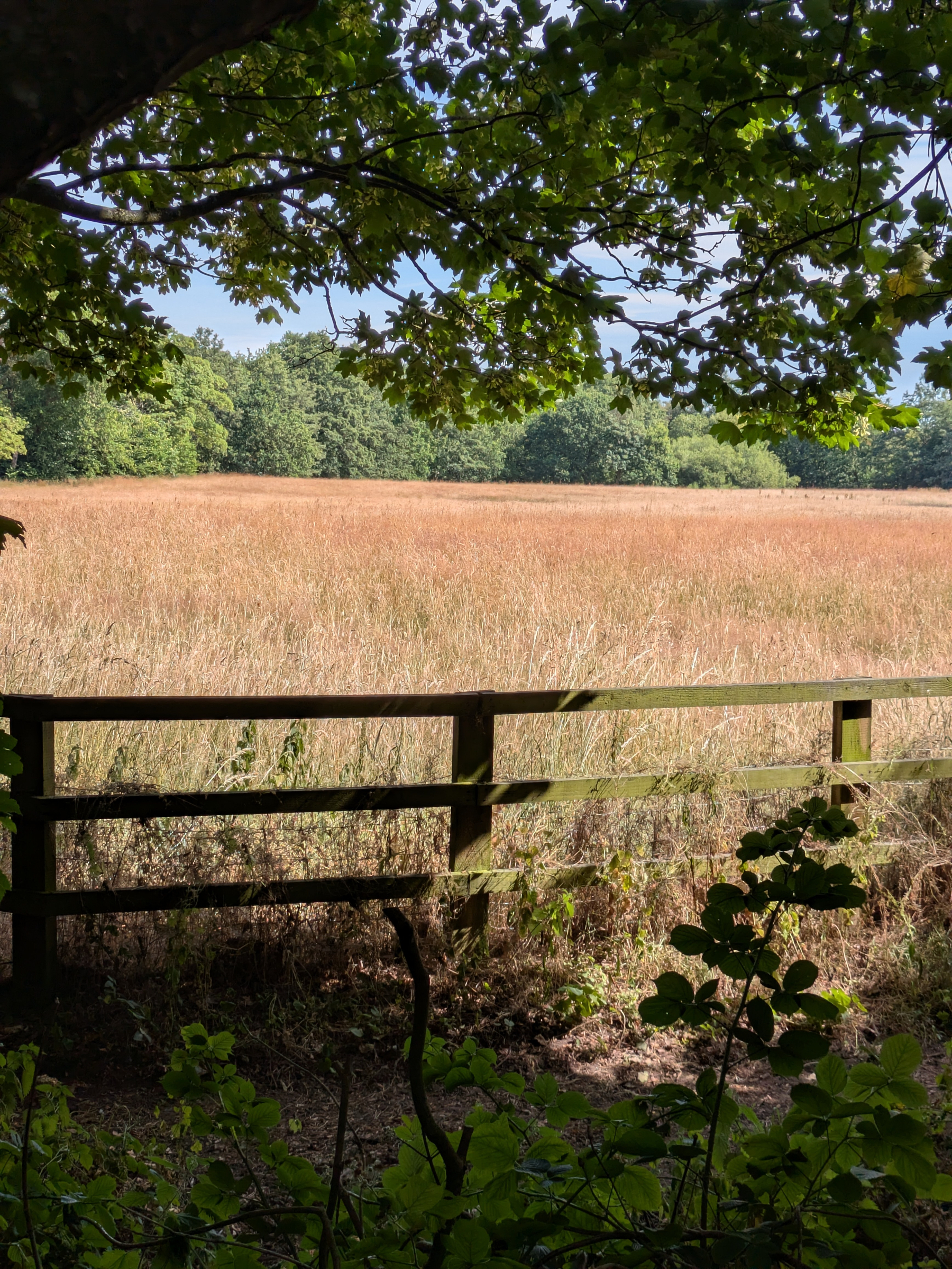
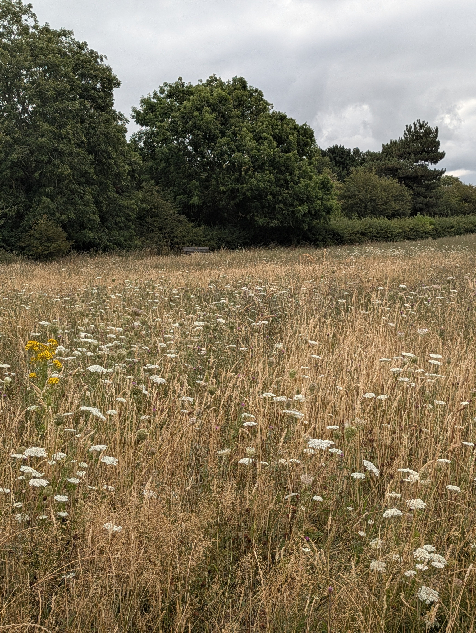
Warm, borderline hot, in #Royden this morning. That said, cooling breeze up top and lots of welcome shade under the trees. The meadows have been a visual delight this year. Heron on the mere.